| Sno |
Parameters |
Information |
| 1. |
Name of Panchayat(Block & District) |
Rampora Zaingeer, Zaingeer, Baramulla
|
| 2. |
Number of Villages |
3
|
| 3. |
Name of Villages |
Rampora, Rajpora and Pahiwar
|
| 4. |
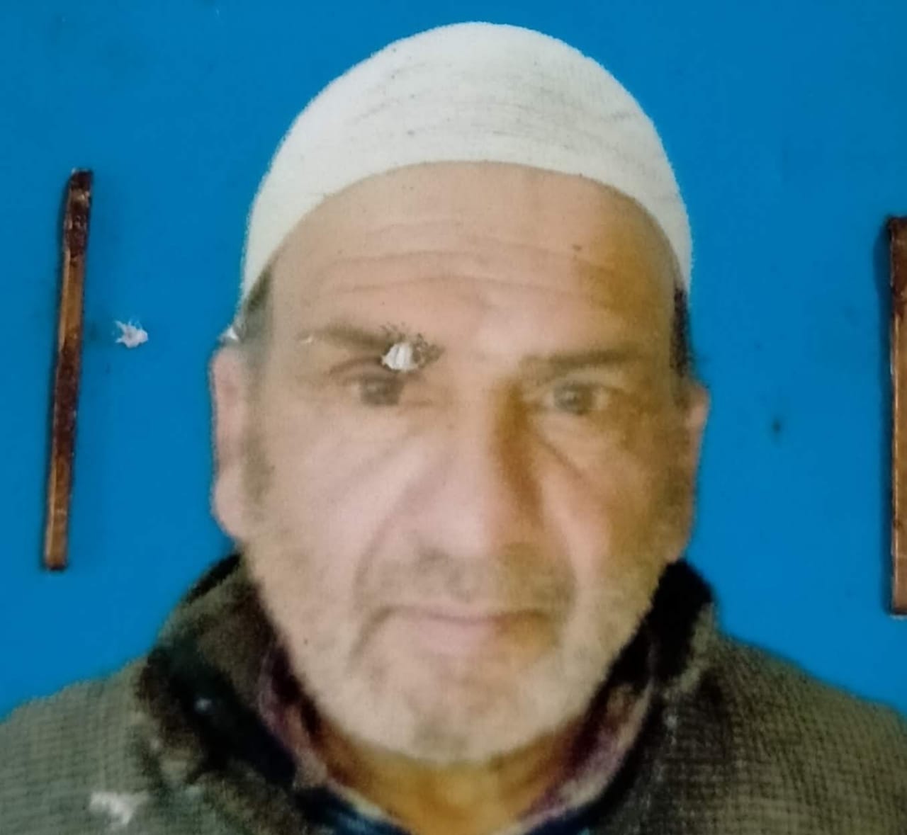
Sarpanch Name and Photograph |
Khazir Mohd Lone
|
| 5. |
Sarpanch Mobile No |
9469136300
|
| 6. |
Panchs Name |
GHULAM HASSAN BHAT,
Abdul Khaliq Lone,
Lateef Ahmad Lone,
Saleema Begum,
Ghulam Mohi ud din Bhat,
Mohammad Junaid Kasana,
|
| 7. |
List of govt. officials |
|
| 8. |
Latitude/ Longitude |
34.5574, 74.45213
|
| 9. |
Area |
417 hec
|
| 10. |
Male (Population) |
1100
|
| 11. |
Female (Population) |
1041
|
| 12. |
Literacy rate |
53
|
| 13. |
Map |
|
| 14. |
Topography |
Hilly
|
| 15. |
Major Water source of Irrigation |
Spring and Nallah
|
| 16. |
Water related govt. Schemes |
Spring water
|
| 17. |
Crops |
maize, pulses etc
|
| 18. |
Schools |
Govt Middle school Rampora,.
Govt Primary school Rajpora
|
| 19. |
Angandwadi centers |
No
|
| 20. |
Status of Electrification |
50%
|
| 21. |
Status of piped water |
60%
|
| 22. |
Name of Police station |
Warpora
|
| 23. |
Health Institutions |
Yes
|
| 24. |
Animal Husbandry |
No
|
| 25. |
Livestock�s |
600
|
| 26. |
No. of Self Help Groups |
2
|
| 27. |
Altitude above Sea Level |
1637
|
| 28. |
Veterinary |
No
|
| 29. |
Specialty Crops etc. Natural Crops
|
Apple
|
| 30. |
Roads Connectivity |
78%
|
| 31. |
Prominent Tourist/ Religion places in the Panchyat |
Rampora and Rajpora forests
|
| 32. |
Distance from Nearest Headquater |
49 km
|
| 33. |
PMAY Houses Approved |
8
|
| 34. |
PMAY Houses Completed |
0
|
| 35. |
No of House Holds |
246
|
| 36. |
No of House holds with toilets |
246
|
| 37. |
Does the Panchayat has its own Panchayat ghar |
Yes
|
| 38. |
Rented/Owned |
Owned
|
| 39. |
Geotagged Photo of Panchayat |
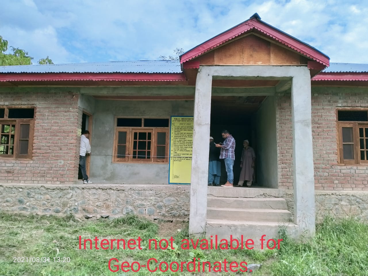
|
| 40. |
Geotagged Photo of Panchayat2 |

|
| 41. |
Uploaded Map |
|
