
Panchayat Details
General Profile
| Sno | Parameters | Information |
|---|---|---|
| 1. | Name of Panchayat(Block & District) | Khurhama B, Wavoora , KUPWARA |
| 2. | Number of Villages | 1 |
| 3. | Name of Villages | Khurhama B |
| 4. | Sarpanch Name and Photograph | Rubeena Begam 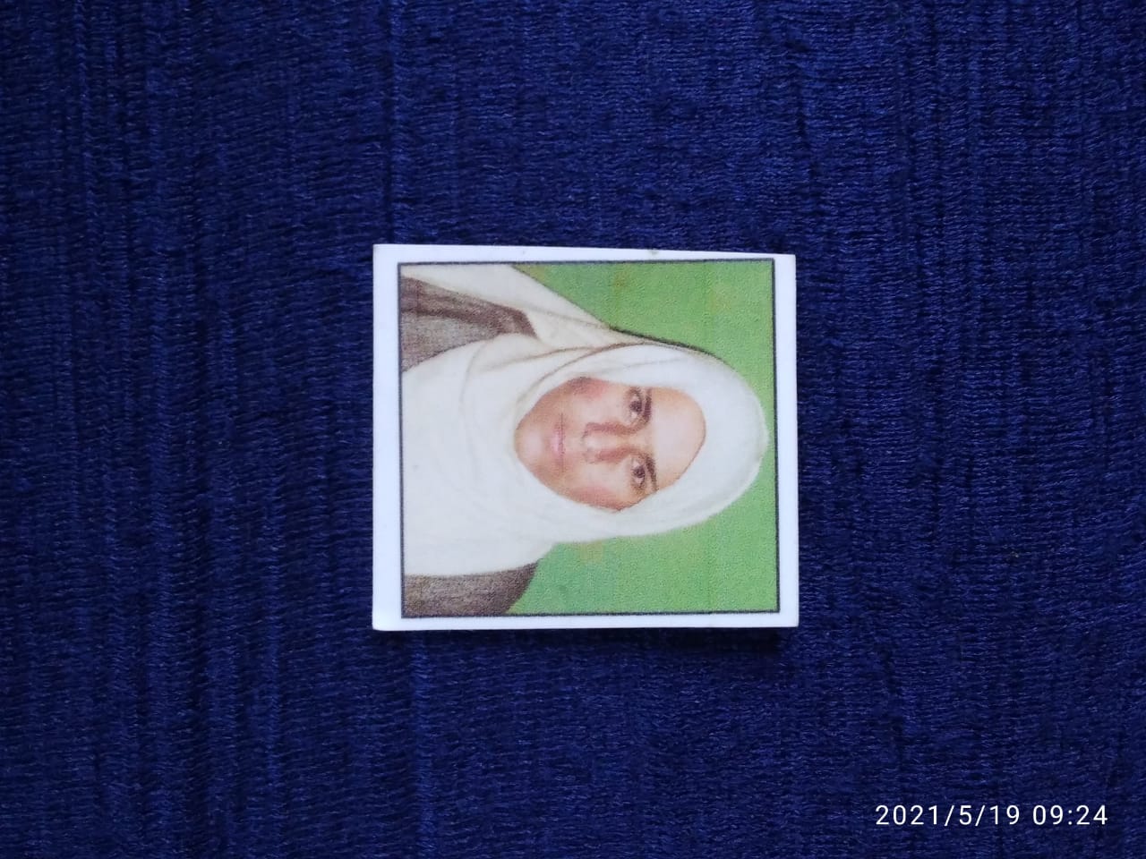
|
| 5. | Sarpanch Mobile No | 6006707919 |
| 6. | Panchs Name | Ab Rashid Shah , Naseema Begum , Mohd Ashraf Chohan , Khatooni Begum , Gh Nabi Mugal , Ab Rashid Mugal , Bano Begum , Gh Mohd Malik , Mohd Maqbool Mugal , Hussain Jan, Shakoor Ahmad KhatanaS/o Laldin Khatana, |
| 7. | List of govt. officials | MUMTAZ HYDER KONSHI, Zakir Hussain Shah, |
| 8. | Latitude/ Longitude | 34.56147635, 74.46240964 |
| 9. | Area | 6Km |
| 10. | Male (Population) | 1800 |
| 11. | Female (Population) | 1200 |
| 12. | Literacy rate | 45% |
| 13. | Map | |
| 14. | Topography | Hilly area Covered with Forests |
| 15. | Major Water source of Irrigation | Canals |
| 16. | Water related govt. Schemes | Nill |
| 17. | Crops | Maize Rice |
| 18. | Schools | Government Schools |
| 19. | Angandwadi centers | 8 |
| 20. | Status of Electrification | Partially Covered |
| 21. | Status of piped water | Partially Covered |
| 22. | Name of Police station | Post Post Khurhama Police Station Lalpora |
| 23. | Health Institutions | Sub Center |
| 24. | Animal Husbandry | Nill |
| 25. | Livestock�s | Cattles,Goats,Sheep |
| 26. | No. of Self Help Groups | 4 |
| 27. | Altitude above Sea Level | 100mts |
| 28. | Veterinary | nill |
| 29. | Specialty Crops etc. Natural Crops | Maize Rice |
| 30. | Roads Connectivity | Partially Covered |
| 31. | Prominent Tourist/ Religion places in the Panchyat | Zayarat Shareef Doben |
| 32. | Distance from Nearest Headquater | 25 Km |
| 33. | PMAY Houses Approved | |
| 34. | PMAY Houses Completed | |
| 35. | No of House Holds | |
| 36. | No of House holds with toilets | |
| 37. | Does the Panchayat has its own Panchayat ghar | |
| 38. | Rented/Owned | |
| 39. | Geotagged Photo of Panchayat | |
| 40. | Geotagged Photo of Panchayat2 | |
| 41. | Uploaded Map |