| Sno |
Parameters |
Information |
| 1. |
Name of Panchayat(Block & District) |
Khurhama A, Wavoora , KUPWARA
|
| 2. |
Number of Villages |
1
|
| 3. |
Name of Villages |
Khurhama A
|
| 4. |
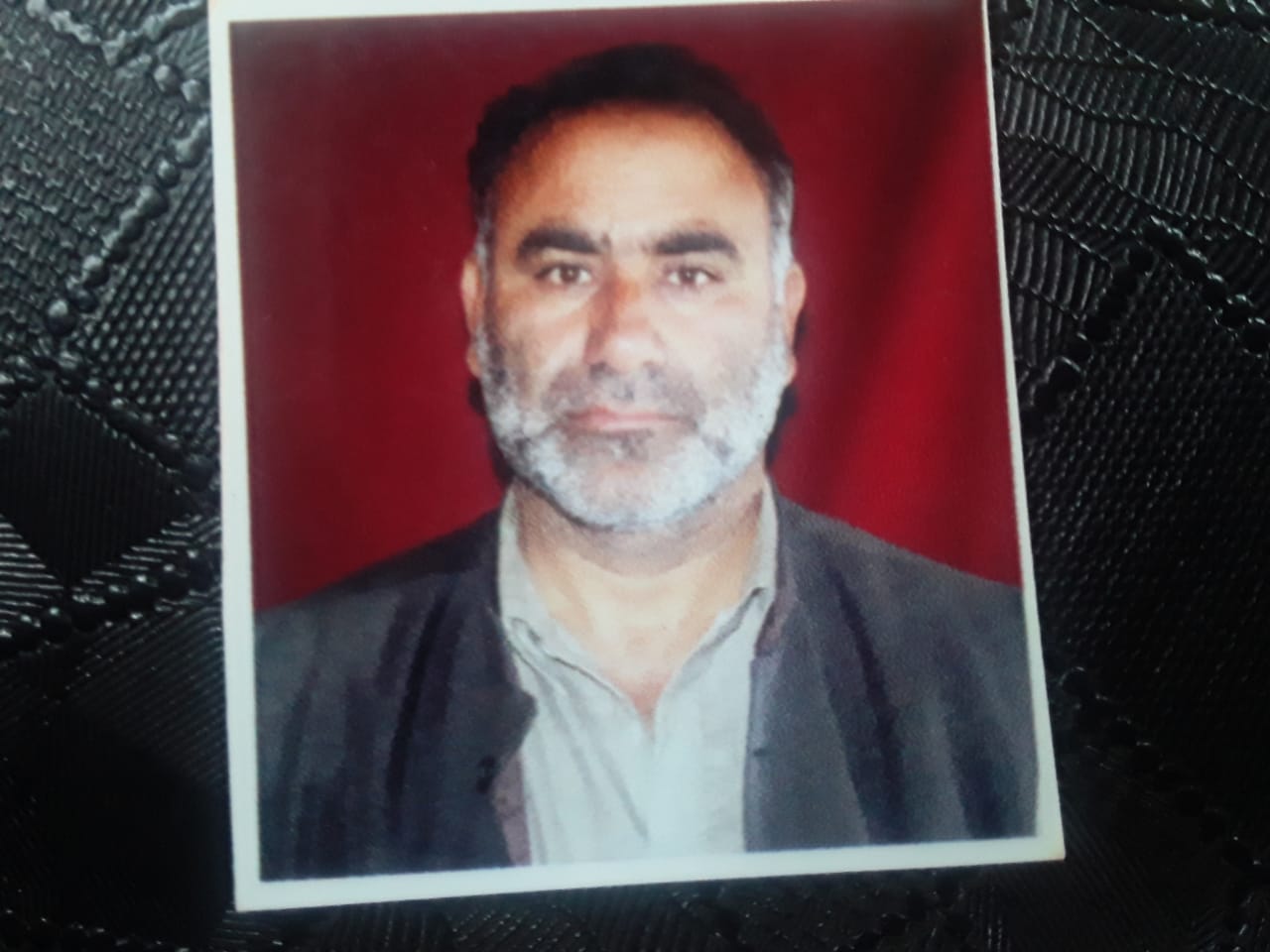
Sarpanch Name and Photograph |
Gh Nabi Mir
|
| 5. |
Sarpanch Mobile No |
9906852736
|
| 6. |
Panchs Name |
Mohd Ashraf Ganie ,
Zeeshan Naseer ,
Ab Raheem Ganie ,
Bashir Ahmad Shah ,
Shafeeqa ,
Nazir Ahmad Mir ,
Ab Majeed Mir ,
Amina Begum ,
Imtiyaz Ahmad Mir ,
|
| 7. |
List of govt. officials |
Suhail Majnoon,
Hilal Ah Shah,
GH. Hassan,
Hay Khan,
Mudasir Ah,
Ajaz Mohidun,
Riyaz Ah Mir,
Nazir Ah Mir,
Tasleema Begum,
Mahjoor Ahmad,
|
| 8. |
Latitude/ Longitude |
34.675435, 74.432576
|
| 9. |
Area |
4Km
|
| 10. |
Male (Population) |
2360
|
| 11. |
Female (Population) |
2490
|
| 12. |
Literacy rate |
60%
|
| 13. |
Map |
|
| 14. |
Topography |
Plain area
|
| 15. |
Major Water source of Irrigation |
canals
|
| 16. |
Water related govt. Schemes |
nill
|
| 17. |
Crops |
maize rice
|
| 18. |
Schools |
government and Private Schools
|
| 19. |
Angandwadi centers |
3
|
| 20. |
Status of Electrification |
covered
|
| 21. |
Status of piped water |
covered
|
| 22. |
Name of Police station |
PP Khurhama PS Lalpora
|
| 23. |
Health Institutions |
sub center
|
| 24. |
Animal Husbandry |
1
|
| 25. |
Livestock�s |
Cows
|
| 26. |
No. of Self Help Groups |
3
|
| 27. |
Altitude above Sea Level |
100
|
| 28. |
Veterinary |
nill
|
| 29. |
Specialty Crops etc. Natural Crops
|
maize rice
|
| 30. |
Roads Connectivity |
not internally covered
|
| 31. |
Prominent Tourist/ Religion places in the Panchyat |
khurhama
|
| 32. |
Distance from Nearest Headquater |
22KM
|
| 33. |
PMAY Houses Approved |
|
| 34. |
PMAY Houses Completed |
|
| 35. |
No of House Holds |
|
| 36. |
No of House holds with toilets |
|
| 37. |
Does the Panchayat has its own Panchayat ghar |
|
| 38. |
Rented/Owned |
|
| 39. |
Geotagged Photo of Panchayat |

|
| 40. |
Geotagged Photo of Panchayat2 |
|
| 41. |
Uploaded Map |
|
