| Sno |
Parameters |
Information |
| 1. |
Name of Panchayat(Block & District) |
Shrakwara, Wagoora, Baramulla
|
| 2. |
Number of Villages |
01
|
| 3. |
Name of Villages |
Shrakwara
|
| 4. |
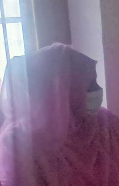
Sarpanch Name and Photograph |
Narendar Kour
|
| 5. |
Sarpanch Mobile No |
8491804291
|
| 6. |
Panchs Name |
|
| 7. |
List of govt. officials |
|
| 8. |
Latitude/ Longitude |
34.180863, 74.430581
|
| 9. |
Area |
347 hectare
|
| 10. |
Male (Population) |
1553
|
| 11. |
Female (Population) |
1466
|
| 12. |
Literacy rate |
70%
|
| 13. |
Map |
|
| 14. |
Topography |
Plain
|
| 15. |
Major Water source of Irrigation |
Ningli Nallah
|
| 16. |
Water related govt. Schemes |
Shrakwara Water Supply Scheme
|
| 17. |
Crops |
Rice,Maize,Pulses,Mustard
|
| 18. |
Schools |
Middle School,Primary School,High School
|
| 19. |
Angandwadi centers |
05
|
| 20. |
Status of Electrification |
Electrified
|
| 21. |
Status of piped water |
Available to 90% households
|
| 22. |
Name of Police station |
P.S Kreeri,Police post Wagoora
|
| 23. |
Health Institutions |
PHC
|
| 24. |
Animal Husbandry |
Sub-Center
|
| 25. |
Livestock�s |
Cows,Sheep,goat,horses
|
| 26. |
No. of Self Help Groups |
05
|
| 27. |
Altitude above Sea Level |
1600
|
| 28. |
Veterinary |
Sub-Center
|
| 29. |
Specialty Crops etc. Natural Crops
|
Apple,Pears,Apricots
|
| 30. |
Roads Connectivity |
90%
|
| 31. |
Prominent Tourist/ Religion places in the Panchyat |
Nil
|
| 32. |
Distance from Nearest Headquater |
25
|
| 33. |
PMAY Houses Approved |
01
|
| 34. |
PMAY Houses Completed |
Nil
|
| 35. |
No of House Holds |
527
|
| 36. |
No of House holds with toilets |
485
|
| 37. |
Does the Panchayat has its own Panchayat ghar |
Yes
|
| 38. |
Rented/Owned |
Owned
|
| 39. |
Geotagged Photo of Panchayat |
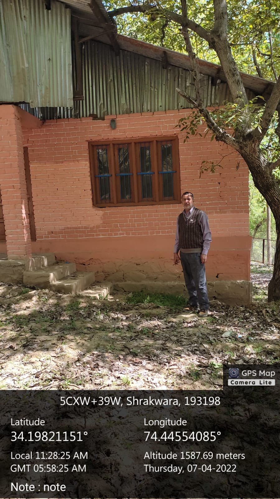
|
| 40. |
Geotagged Photo of Panchayat2 |

|
| 41. |
Uploaded Map |
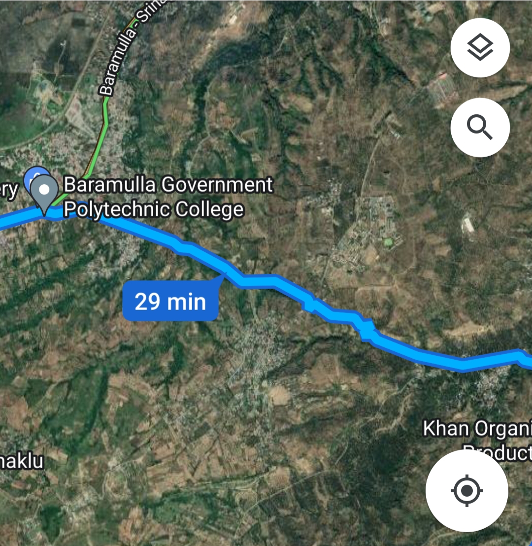
|
