| Sno |
Parameters |
Information |
| 1. |
Name of Panchayat(Block & District) |
Dawlatpora, Wagoora, Baramulla
|
| 2. |
Number of Villages |
4
|
| 3. |
Name of Villages |
Dawlatpora, Dungdara, Puthar , Chanpora
|
| 4. |
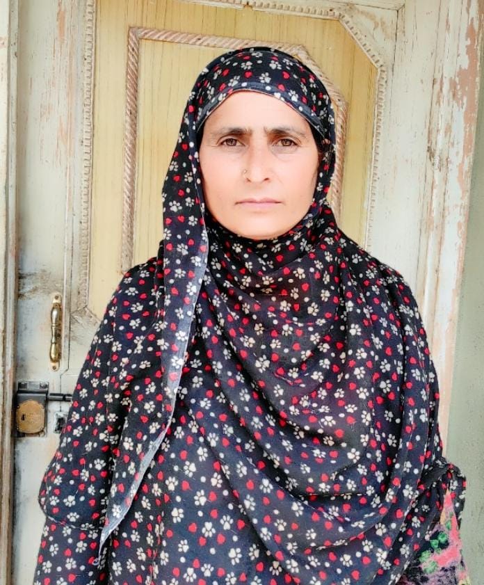
Sarpanch Name and Photograph |
Naseema Begum
|
| 5. |
Sarpanch Mobile No |
6005188676
|
| 6. |
Panchs Name |
Shabir Ahmad Yatoo ,
Shaheena Begum,
Foja Singh ,
Mohd Ramzan Parray,
|
| 7. |
List of govt. officials |
Nazir Ahmad Kangoo,
Imtiyaz Ahmad ,
Gulshana,
Shakeela,
Gh. Nabi Khan,
Wali Mohd Dar,
|
| 8. |
Latitude/ Longitude |
34.206790, 74.471223
|
| 9. |
Area |
407 hectares
|
| 10. |
Male (Population) |
1620
|
| 11. |
Female (Population) |
1350
|
| 12. |
Literacy rate |
70
|
| 13. |
Map |
|
| 14. |
Topography |
plain
|
| 15. |
Major Water source of Irrigation |
stream
|
| 16. |
Water related govt. Schemes |
Jalshakti
|
| 17. |
Crops |
paddy, wheat, maze, mustard
|
| 18. |
Schools |
BMS dungdara, BMS Dawlatpora, BMS Puthar, BMS Chanpora
|
| 19. |
Angandwadi centers |
5
|
| 20. |
Status of Electrification |
good
|
| 21. |
Status of piped water |
good
|
| 22. |
Name of Police station |
Kreeri
|
| 23. |
Health Institutions |
0
|
| 24. |
Animal Husbandry |
0
|
| 25. |
Livestock�s |
355 cows, sheep etc
|
| 26. |
No. of Self Help Groups |
40
|
| 27. |
Altitude above Sea Level |
1589
|
| 28. |
Veterinary |
0
|
| 29. |
Specialty Crops etc. Natural Crops
|
Paddy, Maze etc
|
| 30. |
Roads Connectivity |
all weather connected
|
| 31. |
Prominent Tourist/ Religion places in the Panchyat |
ziyarat sharief Dungdara
|
| 32. |
Distance from Nearest Headquater |
20 kms
|
| 33. |
PMAY Houses Approved |
3
|
| 34. |
PMAY Houses Completed |
0
|
| 35. |
No of House Holds |
483
|
| 36. |
No of House holds with toilets |
450
|
| 37. |
Does the Panchayat has its own Panchayat ghar |
No
|
| 38. |
Rented/Owned |
|
| 39. |
Geotagged Photo of Panchayat |

|
| 40. |
Geotagged Photo of Panchayat2 |
|
| 41. |
Uploaded Map |
|
