| Sno |
Parameters |
Information |
| 1. |
Name of Panchayat(Block & District) |
Thuroo B, Thuroo, Reasi
|
| 2. |
Number of Villages |
1
|
| 3. |
Name of Villages |
THUROO
|
| 4. |
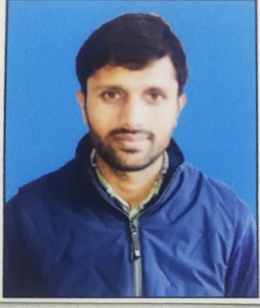
Sarpanch Name and Photograph |
MOHD ASLAM
|
| 5. |
Sarpanch Mobile No |
9596961585
|
| 6. |
Panchs Name |
ARSHAD HUUSAIN,
ARSHAD BANO,
BARKET ALI,
MOHD ARIF,
MAMTTO DEVI,
ROMAL SINGH,
MOHD MIAN,
SHARDA DEVI,
PREM SING,
|
| 7. |
List of govt. officials |
Pawan Kumar Sharma,
MUSHIED HUSSAIN,
SANJAY KUMAR,
PARVEEN AKTHER,
GULZAR BANOO,
|
| 8. |
Latitude/ Longitude |
74.85568, 33.22595
|
| 9. |
Area |
995HAC
|
| 10. |
Male (Population) |
2500
|
| 11. |
Female (Population) |
1200
|
| 12. |
Literacy rate |
33%
|
| 13. |
Map |
|
| 14. |
Topography |
HILLY
|
| 15. |
Major Water source of Irrigation |
STREAM .NALLAH .RAIN WATER
|
| 16. |
Water related govt. Schemes |
WATER HARVESTING TANKS . PONDS
|
| 17. |
Crops |
KHARIEF . RABI
|
| 18. |
Schools |
GHS PATTIA
|
| 19. |
Angandwadi centers |
AWC SULKH
|
| 20. |
Status of Electrification |
65% COVERED
|
| 21. |
Status of piped water |
50%
|
| 22. |
Name of Police station |
ARNAS
|
| 23. |
Health Institutions |
SUB CENTER PATTIA
|
| 24. |
Animal Husbandry |
NIL
|
| 25. |
Livestock�s |
NIL
|
| 26. |
No. of Self Help Groups |
1
|
| 27. |
Altitude above Sea Level |
1406.80m
|
| 28. |
Veterinary |
NIL
|
| 29. |
Specialty Crops etc. Natural Crops
|
NIL
|
| 30. |
Roads Connectivity |
PARTIALY COVERD 4 WORDS ARE PENDING
|
| 31. |
Prominent Tourist/ Religion places in the Panchyat |
MAL TOP
|
| 32. |
Distance from Nearest Headquater |
70
|
| 33. |
PMAY Houses Approved |
|
| 34. |
PMAY Houses Completed |
|
| 35. |
No of House Holds |
|
| 36. |
No of House holds with toilets |
|
| 37. |
Does the Panchayat has its own Panchayat ghar |
|
| 38. |
Rented/Owned |
|
| 39. |
Geotagged Photo of Panchayat |

|
| 40. |
Geotagged Photo of Panchayat2 |
|
| 41. |
Uploaded Map |
|
