| Sno |
Parameters |
Information |
| 1. |
Name of Panchayat(Block & District) |
Potha Lower, Surankote, Poonch
|
| 2. |
Number of Villages |
1
|
| 3. |
Name of Villages |
Potha
|
| 4. |
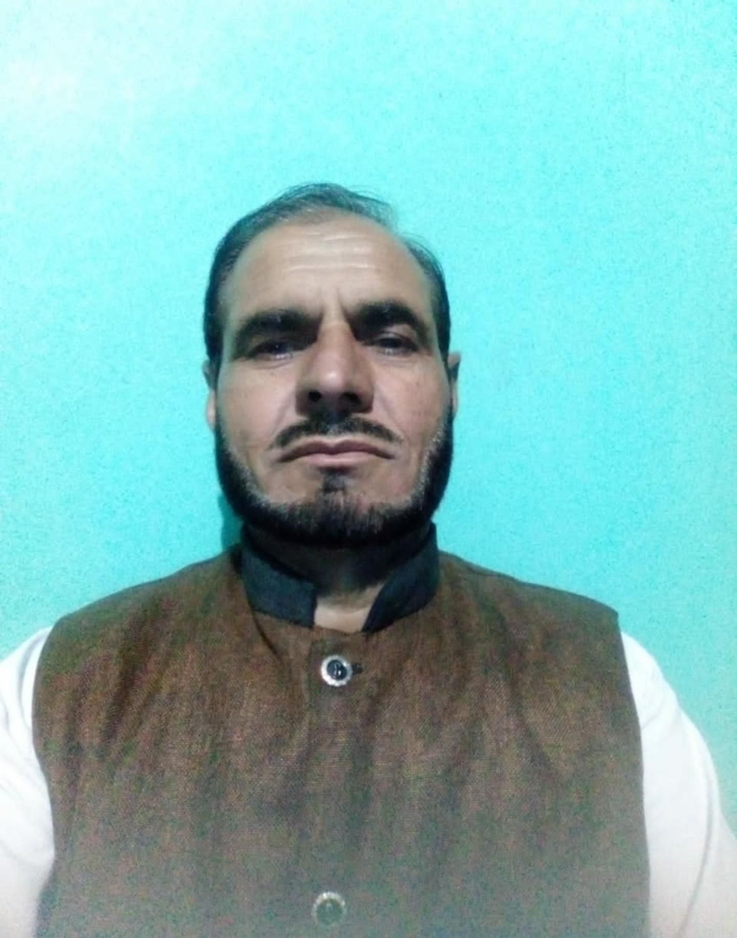
Sarpanch Name and Photograph |
Mohd Bashir
|
| 5. |
Sarpanch Mobile No |
9149757739
|
| 6. |
Panchs Name |
Zahid Iqbal Hussain Shah,
Zahida Parveen,
Abdul Aziz,
Mohd Zahier,
Parveen Akhter,
Shabir Hussain,
Abdul Jabbar,
Najma Kousar,
Mohd Ashat,
|
| 7. |
List of govt. officials |
Mohd Bashir,
Dr. shahid Mushtaq,
Shri Shakeel Ahmad ,
|
| 8. |
Latitude/ Longitude |
33.65201, 74.25687
|
| 9. |
Area |
214.2hec
|
| 10. |
Male (Population) |
946
|
| 11. |
Female (Population) |
930
|
| 12. |
Literacy rate |
80%
|
| 13. |
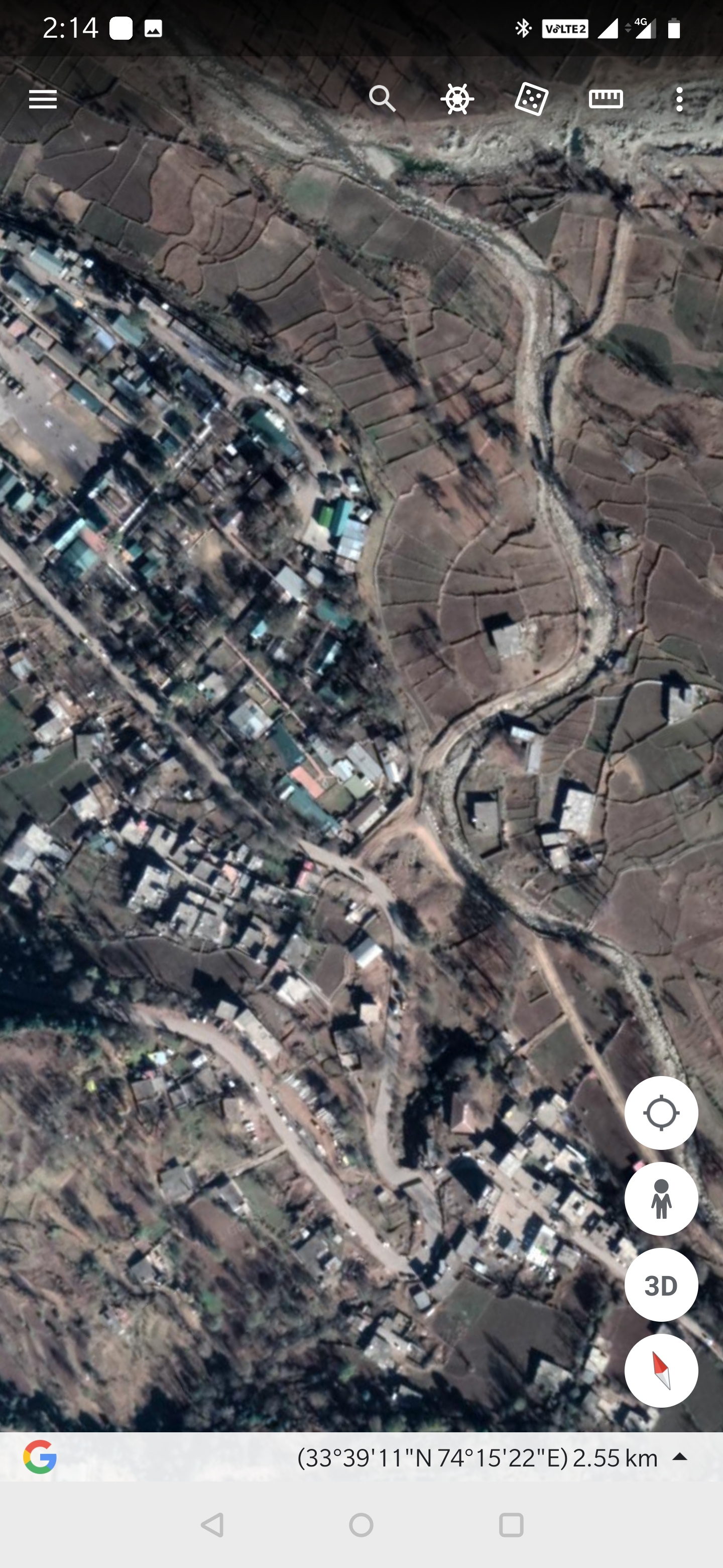
Map |
|
| 14. |
Topography |
Hilly/Terrain
|
| 15. |
Major Water source of Irrigation |
Rainwater River
|
| 16. |
Water related govt. Schemes |
IWMP
|
| 17. |
Crops |
wheat Maize Rice
|
| 18. |
Schools |
primary and middle school
|
| 19. |
Angandwadi centers |
7
|
| 20. |
Status of Electrification |
Almost covered
|
| 21. |
Status of piped water |
80% covered
|
| 22. |
Name of Police station |
P/S surankote
|
| 23. |
Health Institutions |
nil
|
| 24. |
Animal Husbandry |
yes
|
| 25. |
Livestock�s |
nil
|
| 26. |
No. of Self Help Groups |
nil
|
| 27. |
Altitude above Sea Level |
1526.0m
|
| 28. |
Veterinary |
yes
|
| 29. |
Specialty Crops etc. Natural Crops
|
wheat Rice
|
| 30. |
Roads Connectivity |
Almost all the wards are covered
|
| 31. |
Prominent Tourist/ Religion places in the Panchyat |
nil
|
| 32. |
Distance from Nearest Headquater |
26km
|
| 33. |
PMAY Houses Approved |
|
| 34. |
PMAY Houses Completed |
|
| 35. |
No of House Holds |
|
| 36. |
No of House holds with toilets |
|
| 37. |
Does the Panchayat has its own Panchayat ghar |
|
| 38. |
Rented/Owned |
|
| 39. |
Geotagged Photo of Panchayat |

|
| 40. |
Geotagged Photo of Panchayat2 |
|
| 41. |
Uploaded Map |
|
