| Sno |
Parameters |
Information |
| 1. |
Name of Panchayat(Block & District) |
Samlah, Sumb, Samba
|
| 2. |
Number of Villages |
7
|
| 3. |
Name of Villages |
Samlah, Amala, Pangwal, Behri, Katera, Parel and Nehari
|
| 4. |
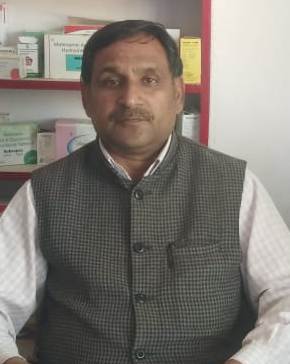
Sarpanch Name and Photograph |
Pritam Chand
|
| 5. |
Sarpanch Mobile No |
0
|
| 6. |
Panchs Name |
Davinder Kumar,
Romesh Lal,
Ritu Devi,
Poli Devi,
Thoru Ram,
Sat Paul ,
|
| 7. |
List of govt. officials |
Mela Ram,
Ravi Kumar,
Pritam Chand,
Karan Singh,
Joginder Lal,
|
| 8. |
Latitude/ Longitude |
32.547701, 75.118132
|
| 9. |
Area |
477
|
| 10. |
Male (Population) |
1957
|
| 11. |
Female (Population) |
1794
|
| 12. |
Literacy rate |
52.17%
|
| 13. |
Map |
|
| 14. |
Topography |
Plain/Kandi
|
| 15. |
Major Water source of Irrigation |
Nil
|
| 16. |
Water related govt. Schemes |
Nil
|
| 17. |
Crops |
Maize, Wheat,Paddy
|
| 18. |
Schools |
7
|
| 19. |
Angandwadi centers |
12
|
| 20. |
Status of Electrification |
Low voltage problem
|
| 21. |
Status of piped water |
Partially
|
| 22. |
Name of Police station |
Samba
|
| 23. |
Health Institutions |
0
|
| 24. |
Animal Husbandry |
0
|
| 25. |
Livestock�s |
0
|
| 26. |
No. of Self Help Groups |
0
|
| 27. |
Altitude above Sea Level |
0
|
| 28. |
Veterinary |
0
|
| 29. |
Specialty Crops etc. Natural Crops
|
0
|
| 30. |
Roads Connectivity |
0
|
| 31. |
Prominent Tourist/ Religion places in the Panchyat |
0
|
| 32. |
Distance from Nearest Headquater |
13 KM
|
| 33. |
PMAY Houses Approved |
|
| 34. |
PMAY Houses Completed |
|
| 35. |
No of House Holds |
|
| 36. |
No of House holds with toilets |
|
| 37. |
Does the Panchayat has its own Panchayat ghar |
|
| 38. |
Rented/Owned |
|
| 39. |
Geotagged Photo of Panchayat |

|
| 40. |
Geotagged Photo of Panchayat2 |
|
| 41. |
Uploaded Map |
|
