| Sno |
Parameters |
Information |
| 1. |
Name of Panchayat(Block & District) |
Bangdara, Sangrama, Baramulla
|
| 2. |
Number of Villages |
02
|
| 3. |
Name of Villages |
Bangdara Chandkote
|
| 4. |
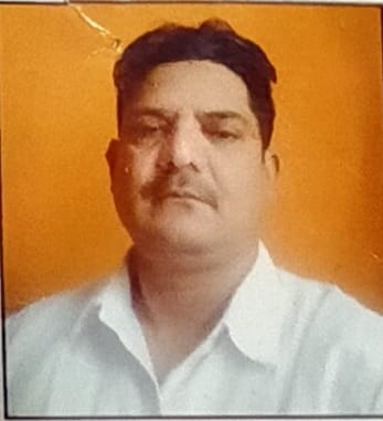
Sarpanch Name and Photograph |
Mehraj Ud Din Bhat
|
| 5. |
Sarpanch Mobile No |
7780852826
|
| 6. |
Panchs Name |
Ali Mohd Mir ,
Haseena Begum ,
Ab Hamid Ganie,
Shabir Ahmad Malik,
Dilshada Begum ,
Mohd Akber Wani ,
|
| 7. |
List of govt. officials |
Mehraj Din Bhat,
Sanket Pandita,
|
| 8. |
Latitude/ Longitude |
34.224165, 74.481109
|
| 9. |
Area |
160hect
|
| 10. |
Male (Population) |
1550
|
| 11. |
Female (Population) |
1500
|
| 12. |
Literacy rate |
75.53
|
| 13. |
Map |
|
| 14. |
Topography |
Partly Plain and Partly semi Hilly
|
| 15. |
Major Water source of Irrigation |
Water Canals
|
| 16. |
Water related govt. Schemes |
Nil
|
| 17. |
Crops |
Rice Maize and beans
|
| 18. |
Schools |
Govt
|
| 19. |
Angandwadi centers |
04
|
| 20. |
Status of Electrification |
99%
|
| 21. |
Status of piped water |
85%
|
| 22. |
Name of Police station |
Kreeri
|
| 23. |
Health Institutions |
NIL
|
| 24. |
Animal Husbandry |
Nil
|
| 25. |
Livestock�s |
2900
|
| 26. |
No. of Self Help Groups |
18
|
| 27. |
Altitude above Sea Level |
1579mts
|
| 28. |
Veterinary |
Nil
|
| 29. |
Specialty Crops etc. Natural Crops
|
Nil
|
| 30. |
Roads Connectivity |
Yes
|
| 31. |
Prominent Tourist/ Religion places in the Panchyat |
Nil
|
| 32. |
Distance from Nearest Headquater |
15
|
| 33. |
PMAY Houses Approved |
06
|
| 34. |
PMAY Houses Completed |
04
|
| 35. |
No of House Holds |
370
|
| 36. |
No of House holds with toilets |
345
|
| 37. |
Does the Panchayat has its own Panchayat ghar |
Yes
|
| 38. |
Rented/Owned |
Owned
|
| 39. |
Geotagged Photo of Panchayat |
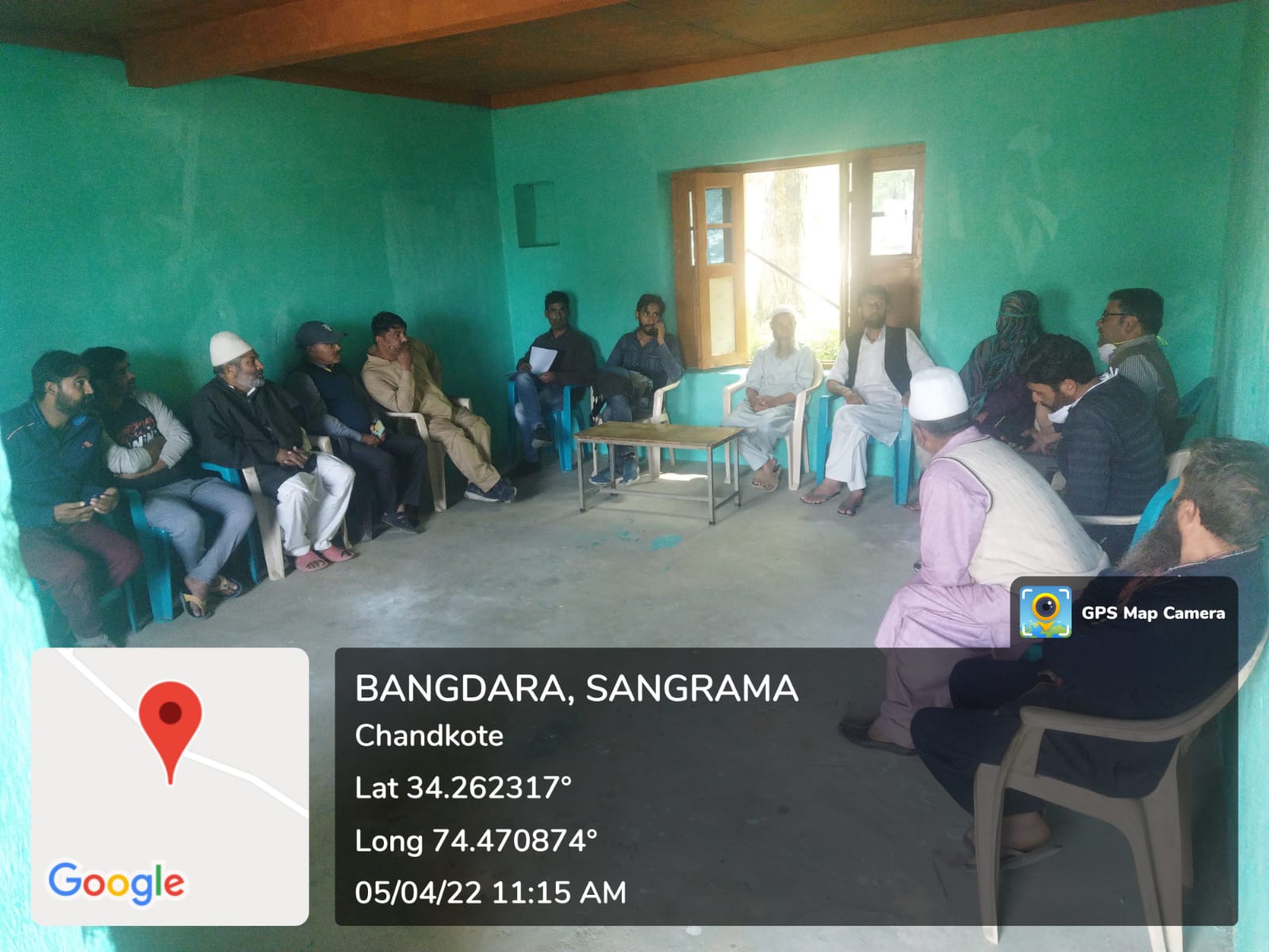
|
| 40. |
Geotagged Photo of Panchayat2 |
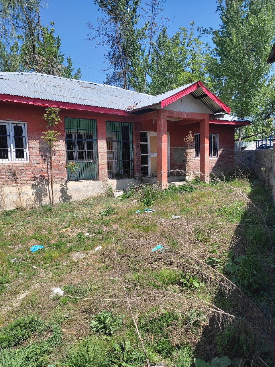
|
| 41. |
Uploaded Map |

|
