| Sno |
Parameters |
Information |
| 1. |
Name of Panchayat(Block & District) |
Sangaldan A, Sangaldhan, Ramban
|
| 2. |
Number of Villages |
02
|
| 3. |
Name of Villages |
SANGALDAN, BANDAN
|
| 4. |
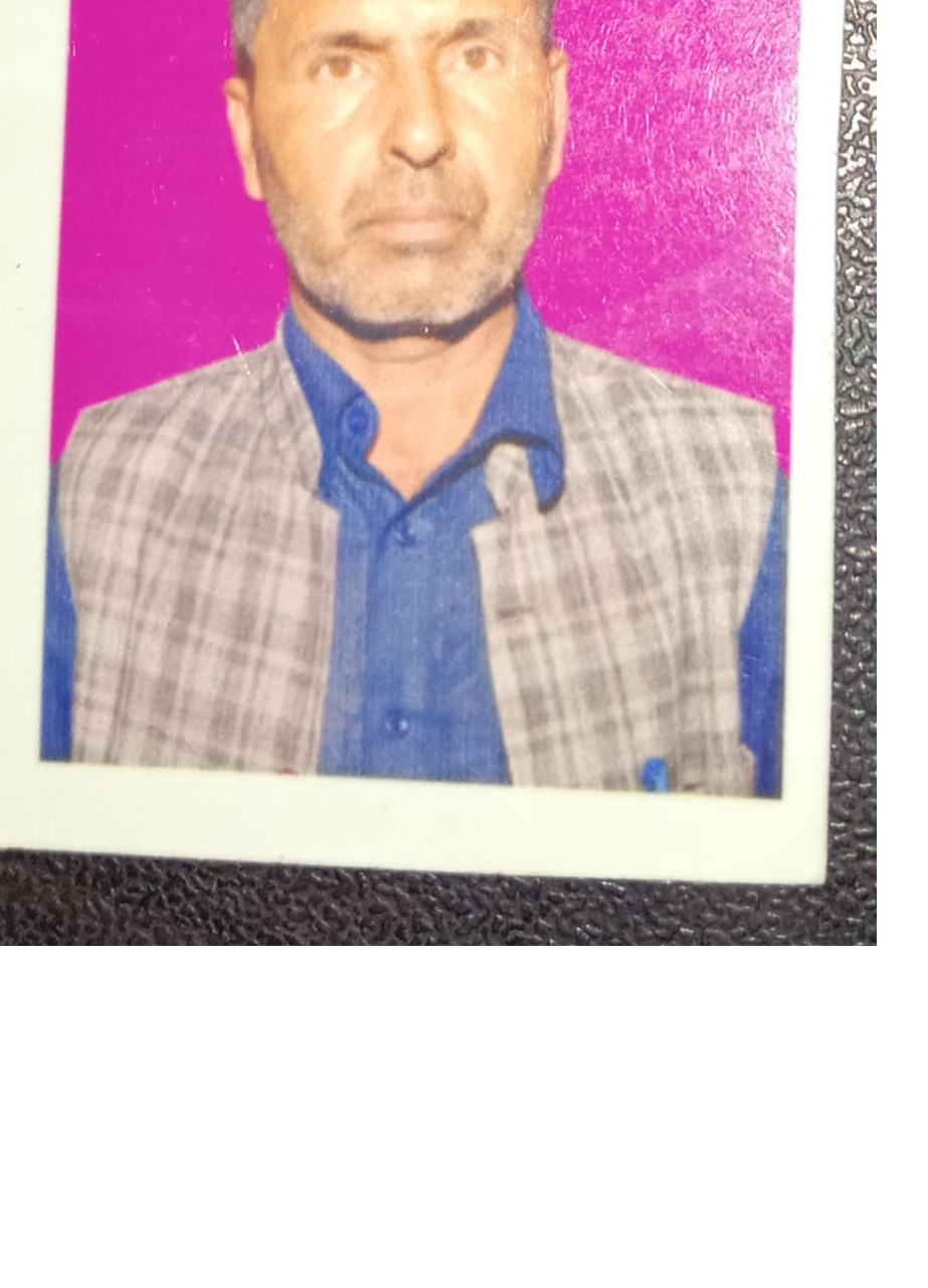
Sarpanch Name and Photograph |
MOHD SHAFI
|
| 5. |
Sarpanch Mobile No |
9906190227
|
| 6. |
Panchs Name |
N SARPANCH MOHD TOUSEEF WARD NO 04,
PANCH RAIZ AHMED WARD NO 03,
PANCH ASHOK SINGH WARD NO 01,
|
| 7. |
List of govt. officials |
TOSIEF SAJAD,
|
| 8. |
Latitude/ Longitude |
33.26069, 75.06778
|
| 9. |
Area |
235.1 hectares
|
| 10. |
Male (Population) |
950
|
| 11. |
Female (Population) |
655
|
| 12. |
Literacy rate |
77.27 %
|
| 13. |
Map |
|
| 14. |
Topography |
N A
|
| 15. |
Major Water source of Irrigation |
RAIN
|
| 16. |
Water related govt. Schemes |
WATER RESERVIORS
|
| 17. |
Crops |
MAIZE AND WHEAT
|
| 18. |
Schools |
FIVE
|
| 19. |
Angandwadi centers |
SIX
|
| 20. |
Status of Electrification |
NORMAL
|
| 21. |
Status of piped water |
N A
|
| 22. |
Name of Police station |
POLICE STATION SANGALDHAN
|
| 23. |
Health Institutions |
TWO
|
| 24. |
Animal Husbandry |
01
|
| 25. |
Livestock�s |
EIGHT
|
| 26. |
No. of Self Help Groups |
01
|
| 27. |
Altitude above Sea Level |
N A
|
| 28. |
Veterinary |
01
|
| 29. |
Specialty Crops etc. Natural Crops
|
MAIZE AND WHEAT
|
| 30. |
Roads Connectivity |
02
|
| 31. |
Prominent Tourist/ Religion places in the Panchyat |
YES
|
| 32. |
Distance from Nearest Headquater |
35 KILOMETERS
|
| 33. |
PMAY Houses Approved |
|
| 34. |
PMAY Houses Completed |
|
| 35. |
No of House Holds |
|
| 36. |
No of House holds with toilets |
|
| 37. |
Does the Panchayat has its own Panchayat ghar |
|
| 38. |
Rented/Owned |
|
| 39. |
Geotagged Photo of Panchayat |

|
| 40. |
Geotagged Photo of Panchayat2 |
|
| 41. |
Uploaded Map |

|
