| Sno |
Parameters |
Information |
| 1. |
Name of Panchayat(Block & District) |
Zachaldara, Rajwar, KUPWARA
|
| 2. |
Number of Villages |
2
|
| 3. |
Name of Villages |
Zachaldara and warpora
|
| 4. |
Sarpanch Name and Photograph |
Shabir Ah. Mir

|
| 5. |
Sarpanch Mobile No |
7006617126
|
| 6. |
Panchs Name |
Najim din bajday,
Irshada begum,
javaid Ah. seer,
sonaullah bhat,
Nasira begum,
Mohd Jamal bhat,
Gh.Mohd Bhat,
,
|
| 7. |
List of govt. officials |
|
| 8. |
Latitude/ Longitude |
34.4, 74.9
|
| 9. |
Area |
1.8
|
| 10. |
Male (Population) |
1500
|
| 11. |
Female (Population) |
1200
|
| 12. |
Literacy rate |
70
|
| 13. |
Map |
|
| 14. |
Topography |
Hilly
|
| 15. |
Major Water source of Irrigation |
Nallah Talri
|
| 16. |
Water related govt. Schemes |
Jal Jeevan Mission
|
| 17. |
Crops |
Rice Apple,Maize ,Pulses etc
|
| 18. |
Schools |
GUPS Zachaldara Warpora
GMS Warpora
GUPS Dairain
|
| 19. |
Angandwadi centers |
5
|
| 20. |
Status of Electrification |
Electrified
|
| 21. |
Status of piped water |
6 wards have piped water out of 7 Ward 6 is partially connected
|
| 22. |
Name of Police station |
Ps Zachaldara
|
| 23. |
Health Institutions |
Commun health centre
|
| 24. |
Animal Husbandry |
1
|
| 25. |
Livestock�s |
400
|
| 26. |
No. of Self Help Groups |
1
|
| 27. |
Altitude above Sea Level |
1656
|
| 28. |
Veterinary |
1
|
| 29. |
Specialty Crops etc. Natural Crops
|
Rice,Maize,Rajmah
|
| 30. |
Roads Connectivity |
All conctivity but partially macdamised
|
| 31. |
Prominent Tourist/ Religion places in the Panchyat |
Nil
|
| 32. |
Distance from Nearest Headquater |
28
|
| 33. |
PMAY Houses Approved |
11
|
| 34. |
PMAY Houses Completed |
Bed level
|
| 35. |
No of House Holds |
430
|
| 36. |
No of House holds with toilets |
400
|
| 37. |
Does the Panchayat has its own Panchayat ghar |
Yes
|
| 38. |
Rented/Owned |
Owned
|
| 39. |
Geotagged Photo of Panchayat |
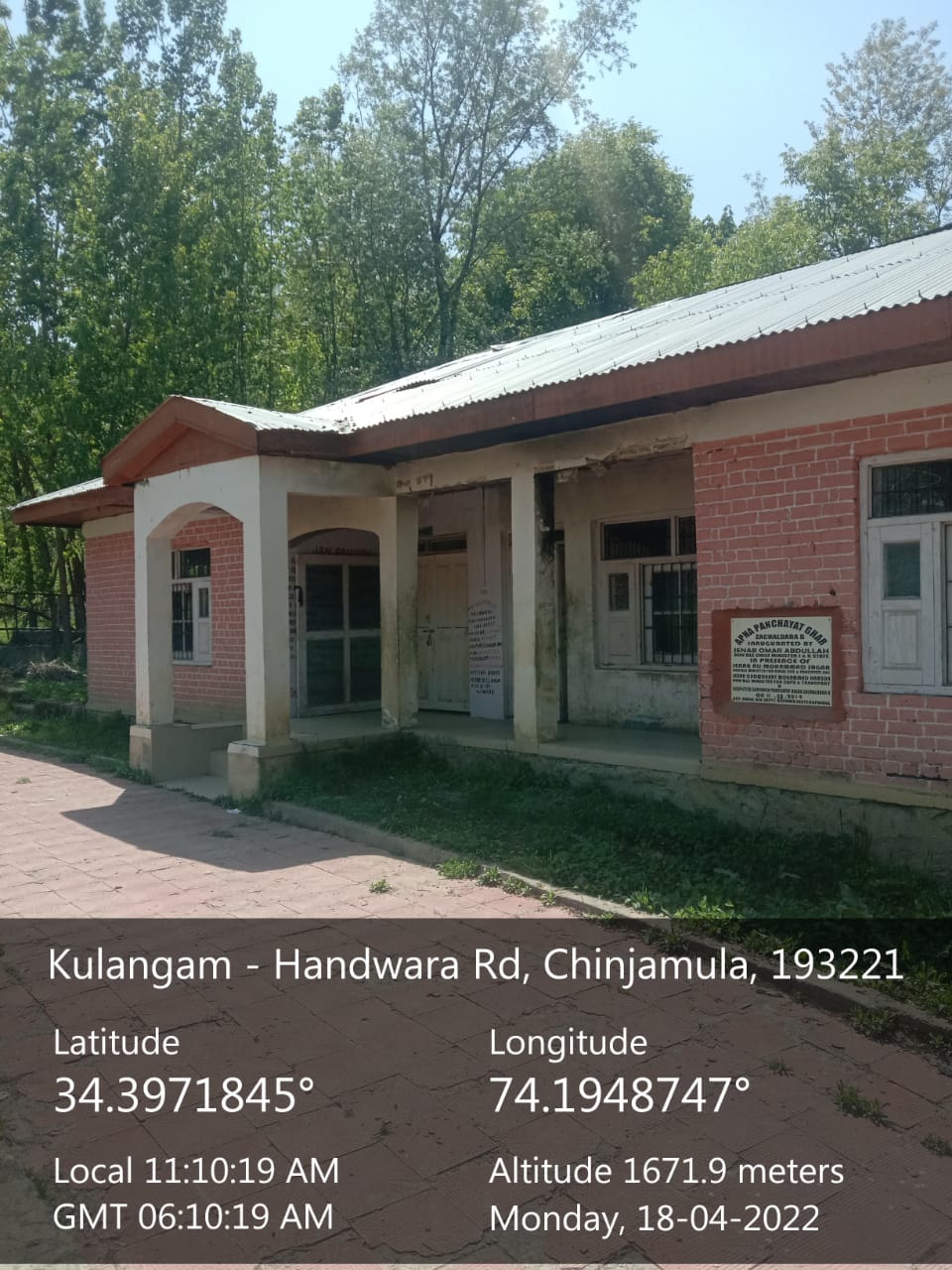
|
| 40. |
Geotagged Photo of Panchayat2 |
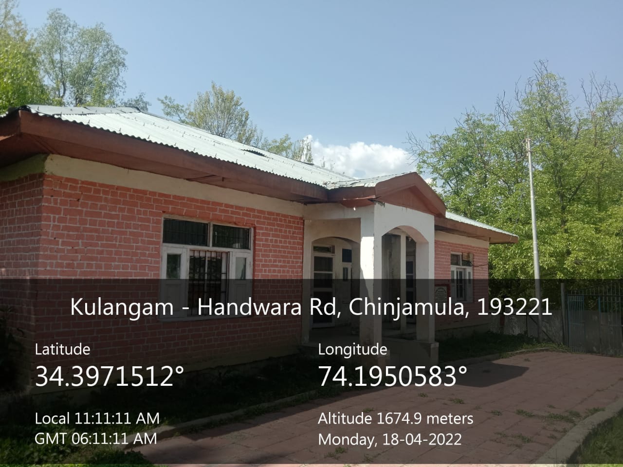
|
| 41. |
Uploaded Map |

|
