| Sno |
Parameters |
Information |
| 1. |
Name of Panchayat(Block & District) |
Ringpath B, Qaziabad, KUPWARA
|
| 2. |
Number of Villages |
4
|
| 3. |
Name of Villages |
Kunil, sheikhnar, kralpora, Jug Sundri
|
| 4. |
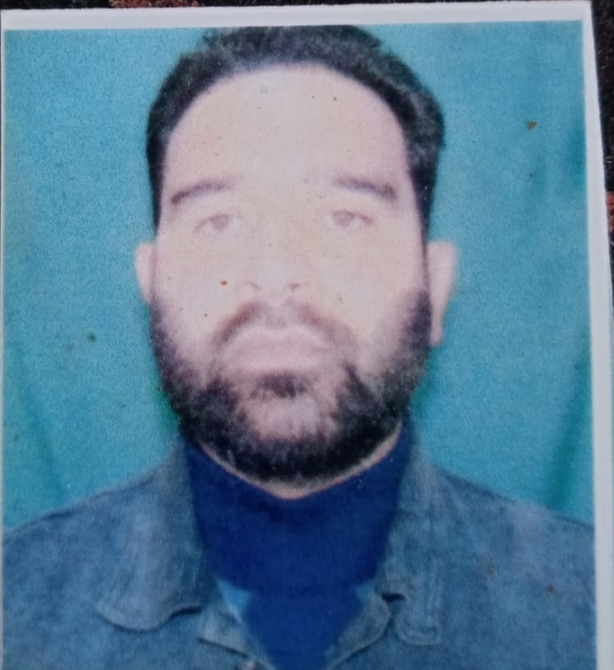
Sarpanch Name and Photograph |
SHABIR AHMAD RATHER
|
| 5. |
Sarpanch Mobile No |
9622556680
|
| 6. |
Panchs Name |
|
| 7. |
List of govt. officials |
ZAHOOR Ahmad Bhat ,
|
| 8. |
Latitude/ Longitude |
34.328582, 74.301071
|
| 9. |
Area |
3.25sq.km
|
| 10. |
Male (Population) |
1110
|
| 11. |
Female (Population) |
916
|
| 12. |
Literacy rate |
72%
|
| 13. |
Map |
|
| 14. |
Topography |
Slightly hilly
|
| 15. |
Major Water source of Irrigation |
Water cannel
|
| 16. |
Water related govt. Schemes |
Available
|
| 17. |
Crops |
Maize, rice ,wheat and other cereals
|
| 18. |
Schools |
Two middle schools and Three SSA schools
|
| 19. |
Angandwadi centers |
5
|
| 20. |
Status of Electrification |
Poor electricity
|
| 21. |
Status of piped water |
Poor
|
| 22. |
Name of Police station |
PS KRALGUND
|
| 23. |
Health Institutions |
First aid center
|
| 24. |
Animal Husbandry |
N/A
|
| 25. |
Livestock�s |
Cattle, goats, sheep
|
| 26. |
No. of Self Help Groups |
2
|
| 27. |
Altitude above Sea Level |
5300 feets approx.
|
| 28. |
Veterinary |
N/A
|
| 29. |
Specialty Crops etc. Natural Crops
|
N/A
|
| 30. |
Roads Connectivity |
Yes
|
| 31. |
Prominent Tourist/ Religion places in the Panchyat |
Shrine
|
| 32. |
Distance from Nearest Headquater |
35km
|
| 33. |
PMAY Houses Approved |
14
|
| 34. |
PMAY Houses Completed |
none
|
| 35. |
No of House Holds |
360
|
| 36. |
No of House holds with toilets |
89
|
| 37. |
Does the Panchayat has its own Panchayat ghar |
No
|
| 38. |
Rented/Owned |
|
| 39. |
Geotagged Photo of Panchayat |

|
| 40. |
Geotagged Photo of Panchayat2 |
|
| 41. |
Uploaded Map |
|
