| Sno |
Parameters |
Information |
| 1. |
Name of Panchayat(Block & District) |
Renan, Qaziabad, KUPWARA
|
| 2. |
Number of Villages |
4
|
| 3. |
Name of Villages |
Renan, Safalpora, Pazipora, Khaourwara
|
| 4. |
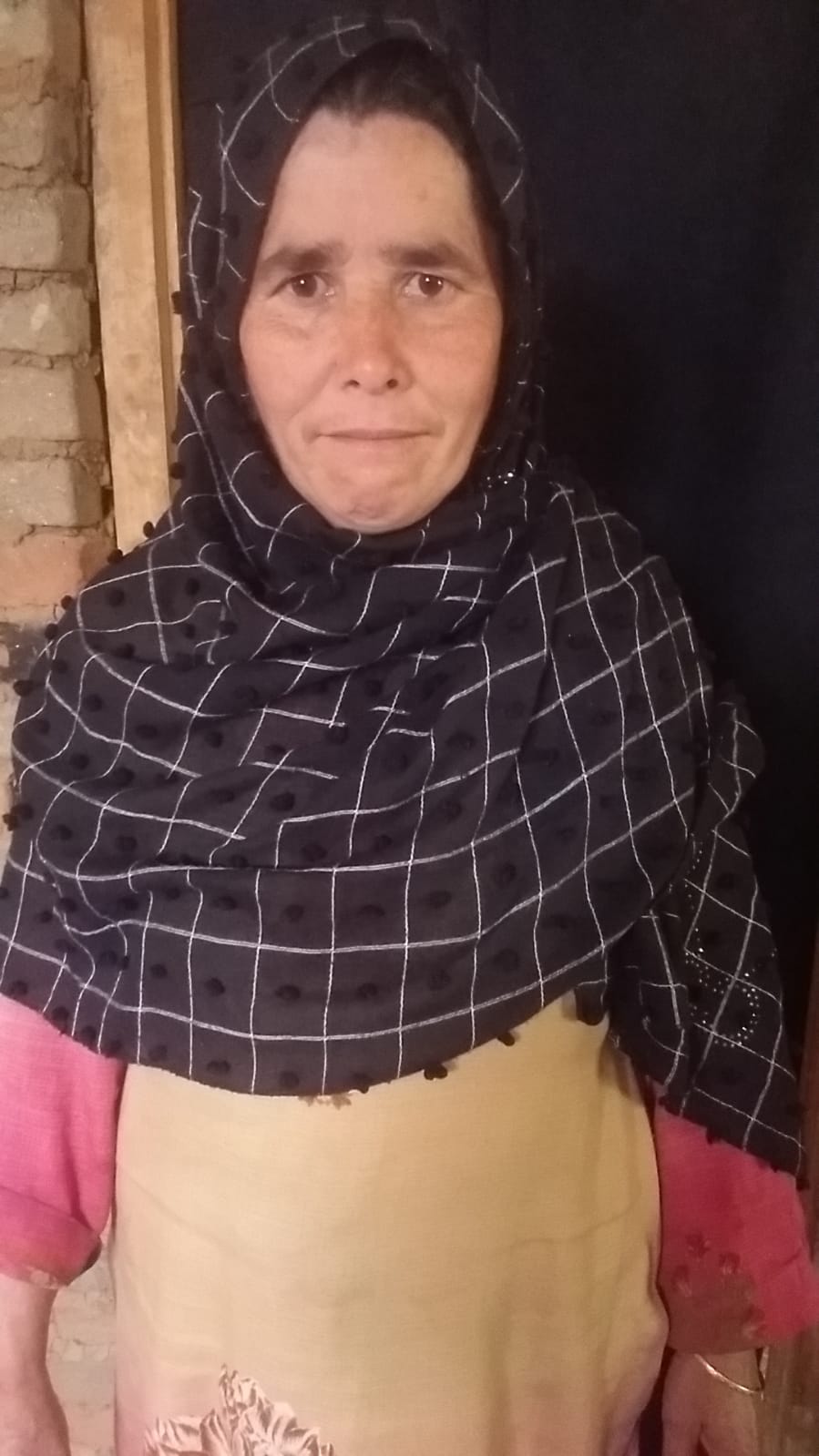
Sarpanch Name and Photograph |
Raja Begum
|
| 5. |
Sarpanch Mobile No |
6005043663
|
| 6. |
Panchs Name |
Firdous Ahmad Shah,
|
| 7. |
List of govt. officials |
Mohd Maqbool Khan,
Shahzada Misbah Farhat,
Javid Ahmad Shah,
|
| 8. |
Latitude/ Longitude |
34.327572, 74.320968
|
| 9. |
Area |
2.89 sq. km
|
| 10. |
Male (Population) |
1110
|
| 11. |
Female (Population) |
1335
|
| 12. |
Literacy rate |
70
|
| 13. |
Map |
|
| 14. |
Topography |
Hilly
|
| 15. |
Major Water source of Irrigation |
Canals
|
| 16. |
Water related govt. Schemes |
JJM
|
| 17. |
Crops |
Rice, Maize etc.
|
| 18. |
Schools |
Govt. Middle School, Pazipora
Govt. Middle School, Khaourwara
Govt. Middle School, Safalpora
UPS, Moti Mohalla
Govt. Primary School, Renan
Govt. Middle School, Renan
Govt. High School, Renan
|
| 19. |
Angandwadi centers |
9
|
| 20. |
Status of Electrification |
Complete
|
| 21. |
Status of piped water |
Average
|
| 22. |
Name of Police station |
PS Kralgund
|
| 23. |
Health Institutions |
Sub Centre, Renan
Sub Centre, Safalpora
|
| 24. |
Animal Husbandry |
Nil
|
| 25. |
Livestock�s |
Nil
|
| 26. |
No. of Self Help Groups |
3
|
| 27. |
Altitude above Sea Level |
5300 ft.
|
| 28. |
Veterinary |
Nil
|
| 29. |
Specialty Crops etc. Natural Crops
|
Nil
|
| 30. |
Roads Connectivity |
Average
|
| 31. |
Prominent Tourist/ Religion places in the Panchyat |
Nil
|
| 32. |
Distance from Nearest Headquater |
30 km
|
| 33. |
PMAY Houses Approved |
36
|
| 34. |
PMAY Houses Completed |
4
|
| 35. |
No of House Holds |
404
|
| 36. |
No of House holds with toilets |
282
|
| 37. |
Does the Panchayat has its own Panchayat ghar |
No
|
| 38. |
Rented/Owned |
|
| 39. |
Geotagged Photo of Panchayat |

|
| 40. |
Geotagged Photo of Panchayat2 |
|
| 41. |
Uploaded Map |
|
