| Sno |
Parameters |
Information |
| 1. |
Name of Panchayat(Block & District) |
Khara Madana , Purmandal, Samba
|
| 2. |
Number of Villages |
2
|
| 3. |
Name of Villages |
KHARA MADANA AND RAKH CHIRK
|
| 4. |
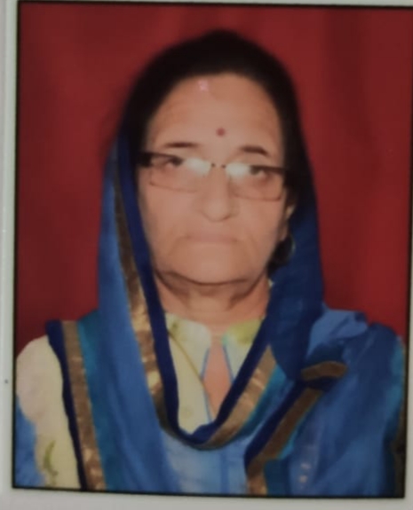
Sarpanch Name and Photograph |
Sunita Kumari
|
| 5. |
Sarpanch Mobile No |
0
|
| 6. |
Panchs Name |
krishan lal,
Rani Devi,
Shakti Singh,
Mohd Rafiq,
Shehnaz ,
Rashid Ahmed,
farman Ali,
|
| 7. |
List of govt. officials |
DEEPAK SINGH,
ANIL RAINA ,
|
| 8. |
Latitude/ Longitude |
32.4068664, 74.5998916
|
| 9. |
Area |
3384.525 Ha.
|
| 10. |
Male (Population) |
1197
|
| 11. |
Female (Population) |
1077
|
| 12. |
Literacy rate |
70
|
| 13. |
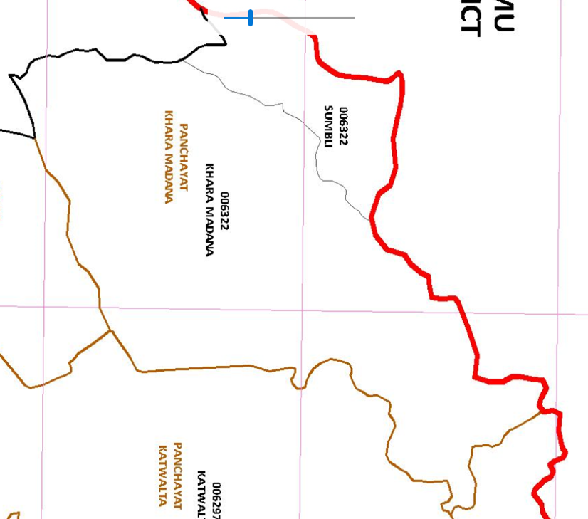
Map |
|
| 14. |
Topography |
hilly Topography
|
| 15. |
Major Water source of Irrigation |
Rain Water
|
| 16. |
Water related govt. Schemes |
Water Supply Scheme (WSS)
|
| 17. |
Crops |
Maize and Wheat
|
| 18. |
Schools |
2
|
| 19. |
Angandwadi centers |
10
|
| 20. |
Status of Electrification |
All the villages are electrified.
|
| 21. |
Status of piped water |
Piped water is available
|
| 22. |
Name of Police station |
Purmandal
|
| 23. |
Health Institutions |
health Sub Centre
|
| 24. |
Animal Husbandry |
0
|
| 25. |
Livestock�s |
220
|
| 26. |
No. of Self Help Groups |
5
|
| 27. |
Altitude above Sea Level |
333 metre avove sea level
|
| 28. |
Veterinary |
1
|
| 29. |
Specialty Crops etc. Natural Crops
|
Maize
|
| 30. |
Roads Connectivity |
metaled/ Fair weather Road
|
| 31. |
Prominent Tourist/ Religion places in the Panchyat |
Nil
|
| 32. |
Distance from Nearest Headquater |
10
|
| 33. |
PMAY Houses Approved |
|
| 34. |
PMAY Houses Completed |
|
| 35. |
No of House Holds |
|
| 36. |
No of House holds with toilets |
|
| 37. |
Does the Panchayat has its own Panchayat ghar |
|
| 38. |
Rented/Owned |
|
| 39. |
Geotagged Photo of Panchayat |

|
| 40. |
Geotagged Photo of Panchayat2 |
|
| 41. |
Uploaded Map |
|
