| Sno |
Parameters |
Information |
| 1. |
Name of Panchayat(Block & District) |
Nownagri, Pulwama, PULWAMA
|
| 2. |
Number of Villages |
4
|
| 3. |
Name of Villages |
NOWNAGRI,BADERWAN, WAKHERWAN AND BANDERPORA
|
| 4. |
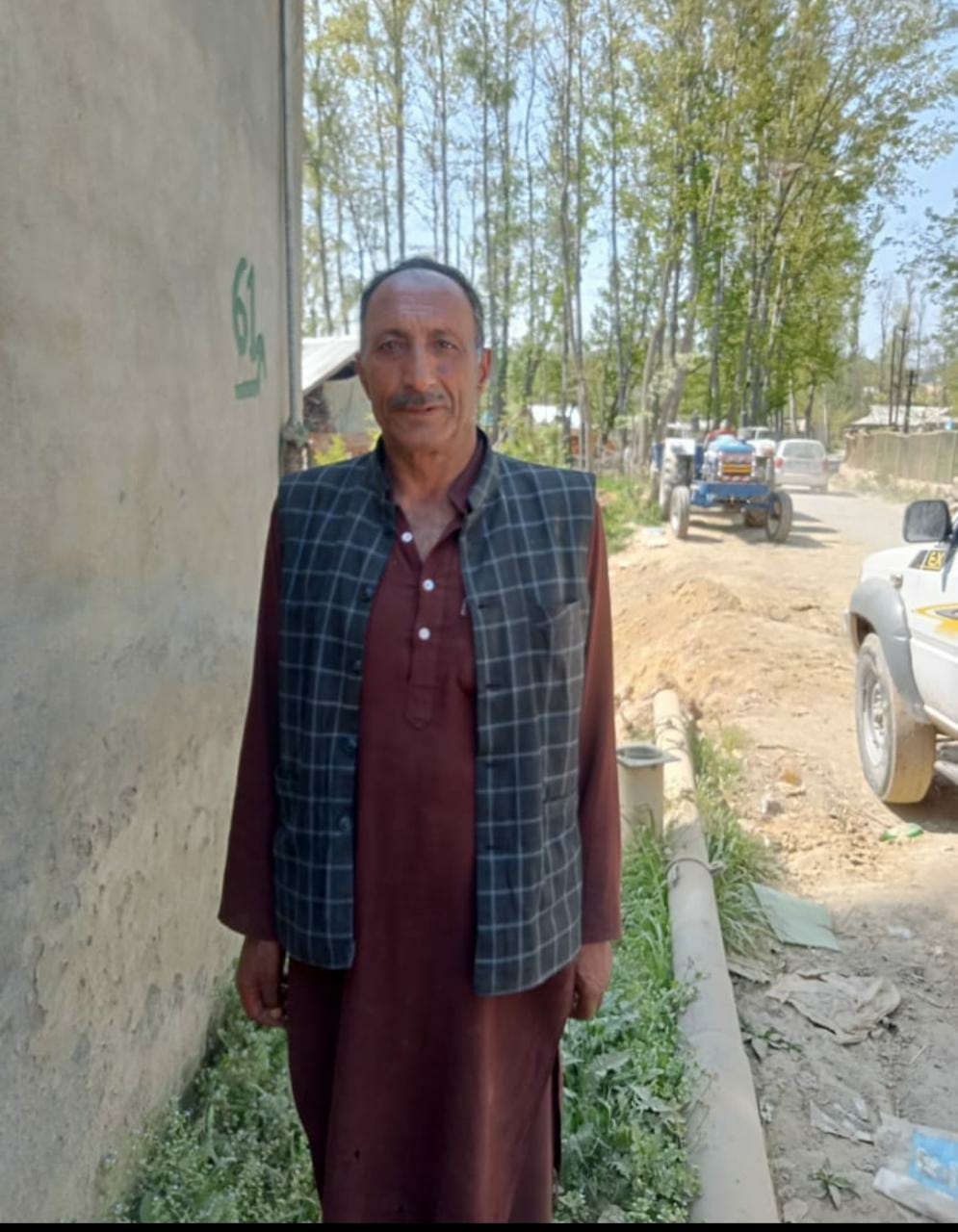
Sarpanch Name and Photograph |
MOHD AKRAM MALIK
|
| 5. |
Sarpanch Mobile No |
8082201300
|
| 6. |
Panchs Name |
SALEEMA,
SHAFIQ AHMAD YATOO,
BILQEES BANO,
ILYAS AHMAD MIR,
AJAZ AHMAD KHAN,
SHAFIQA AKHTER,
POSHMAL BEGUM,
ZAHID KHALIL BAND,
KOWSAR JAN,
|
| 7. |
List of govt. officials |
Irfan,
Nazir ah ,
Yasmeena akhtar,
Hajra banoo,
Zahoor Ahmad,
M maqbool,
Sajad Ahmad,
|
| 8. |
Latitude/ Longitude |
32.88184, 74.97471
|
| 9. |
Area |
770.94
|
| 10. |
Male (Population) |
1950
|
| 11. |
Female (Population) |
1600
|
| 12. |
Literacy rate |
60%
|
| 13. |
Map |
|
| 14. |
Topography |
PLAIN
|
| 15. |
Major Water source of Irrigation |
CANAL
|
| 16. |
Water related govt. Schemes |
0
|
| 17. |
Crops |
PADDY,APPLE
|
| 18. |
Schools |
GOVT SCHOOL AND PRIVATE
|
| 19. |
Angandwadi centers |
10
|
| 20. |
Status of Electrification |
100%
|
| 21. |
Status of piped water |
100%
|
| 22. |
Name of Police station |
PULWAMA
|
| 23. |
Health Institutions |
YES
|
| 24. |
Animal Husbandry |
NO
|
| 25. |
Livestock�s |
COWS AND SHEEP
|
| 26. |
No. of Self Help Groups |
3
|
| 27. |
Altitude above Sea Level |
NA
|
| 28. |
Veterinary |
NA
|
| 29. |
Specialty Crops etc. Natural Crops
|
PADDY
|
| 30. |
Roads Connectivity |
GOOD
|
| 31. |
Prominent Tourist/ Religion places in the Panchyat |
NO
|
| 32. |
Distance from Nearest Headquater |
13KM
|
| 33. |
PMAY Houses Approved |
5
|
| 34. |
PMAY Houses Completed |
0
|
| 35. |
No of House Holds |
872
|
| 36. |
No of House holds with toilets |
99%
|
| 37. |
Does the Panchayat has its own Panchayat ghar |
Yes
|
| 38. |
Rented/Owned |
Owned
|
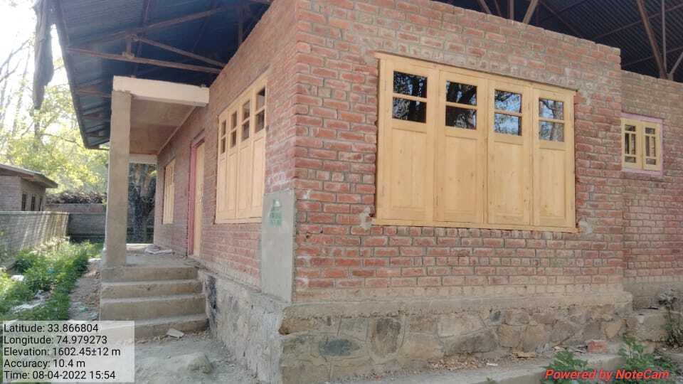
| 39. |
Geotagged Photo of Panchayat |
|
| 40. |
Geotagged Photo of Panchayat2 |

|
| 41. |
Uploaded Map |

|
