| Sno |
Parameters |
Information |
| 1. |
Name of Panchayat(Block & District) |
Uroosa, Parenpillan, Baramulla
|
| 2. |
Number of Villages |
02
|
| 3. |
Name of Villages |
Uroosa, Chakara
|
| 4. |
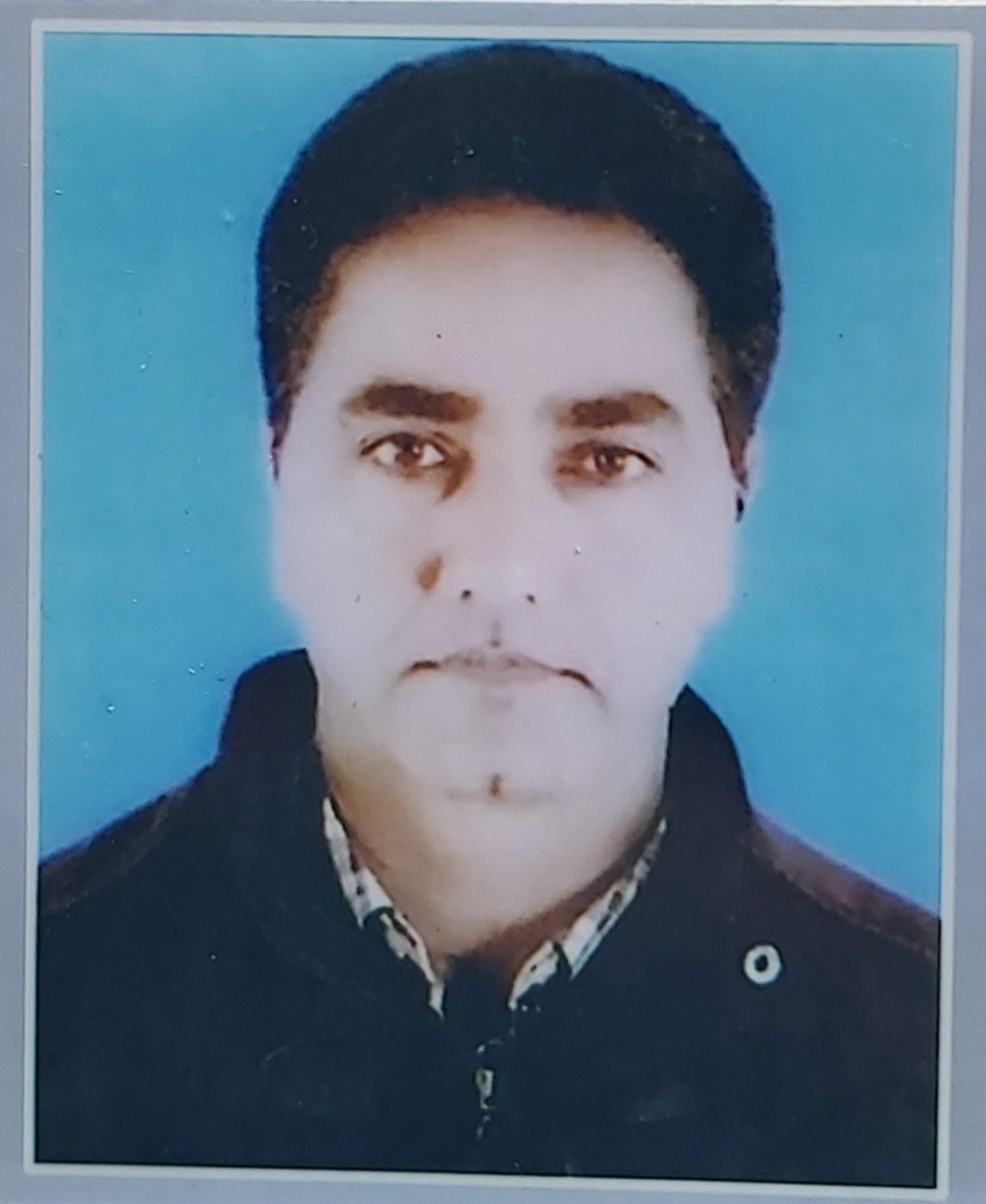
Sarpanch Name and Photograph |
Mohd Altaf Khan
|
| 5. |
Sarpanch Mobile No |
7051430681
|
| 6. |
Panchs Name |
MOHAMMAD SAGHIR,
qasim jan,
mohd anwar,
mohd iqbal,
nazira baigum,
asif ali,
mushtaq ahmad,
|
| 7. |
List of govt. officials |
|
| 8. |
Latitude/ Longitude |
34.6956, 73.56364
|
| 9. |
Area |
292.36 Hectare
|
| 10. |
Male (Population) |
491
|
| 11. |
Female (Population) |
415
|
| 12. |
Literacy rate |
89.73%
|
| 13. |
Map |
|
| 14. |
Topography |
Hilly
|
| 15. |
Major Water source of Irrigation |
Surface Water
|
| 16. |
Water related govt. Schemes |
Jal Jivan Mission
|
| 17. |
Crops |
Maize,Paddy, Podder crop
|
| 18. |
Schools |
02 Govt middle schools
|
| 19. |
Angandwadi centers |
04
|
| 20. |
Status of Electrification |
100 %
|
| 21. |
Status of piped water |
70%
|
| 22. |
Name of Police station |
URI
|
| 23. |
Health Institutions |
01 First Aid Centre
|
| 24. |
Animal Husbandry |
NIL
|
| 25. |
Livestock�s |
Cows, Goats ,Sheeps, Poultry
|
| 26. |
No. of Self Help Groups |
NIL
|
| 27. |
Altitude above Sea Level |
1200 meter
|
| 28. |
Veterinary |
NIL
|
| 29. |
Specialty Crops etc. Natural Crops
|
NIL
|
| 30. |
Roads Connectivity |
Single Lane all weather connectivity
|
| 31. |
Prominent Tourist/ Religion places in the Panchyat |
NO
|
| 32. |
Distance from Nearest Headquater |
58 Km
|
| 33. |
PMAY Houses Approved |
04
|
| 34. |
PMAY Houses Completed |
0
|
| 35. |
No of House Holds |
133
|
| 36. |
No of House holds with toilets |
133
|
| 37. |
Does the Panchayat has its own Panchayat ghar |
No
|
| 38. |
Rented/Owned |
|
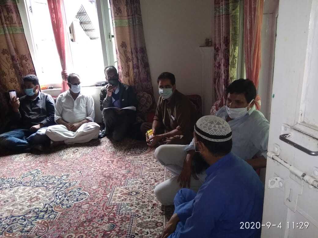
| 39. |
Geotagged Photo of Panchayat |
|
| 40. |
Geotagged Photo of Panchayat2 |

|
| 41. |
Uploaded Map |
|
