| Sno |
Parameters |
Information |
| 1. |
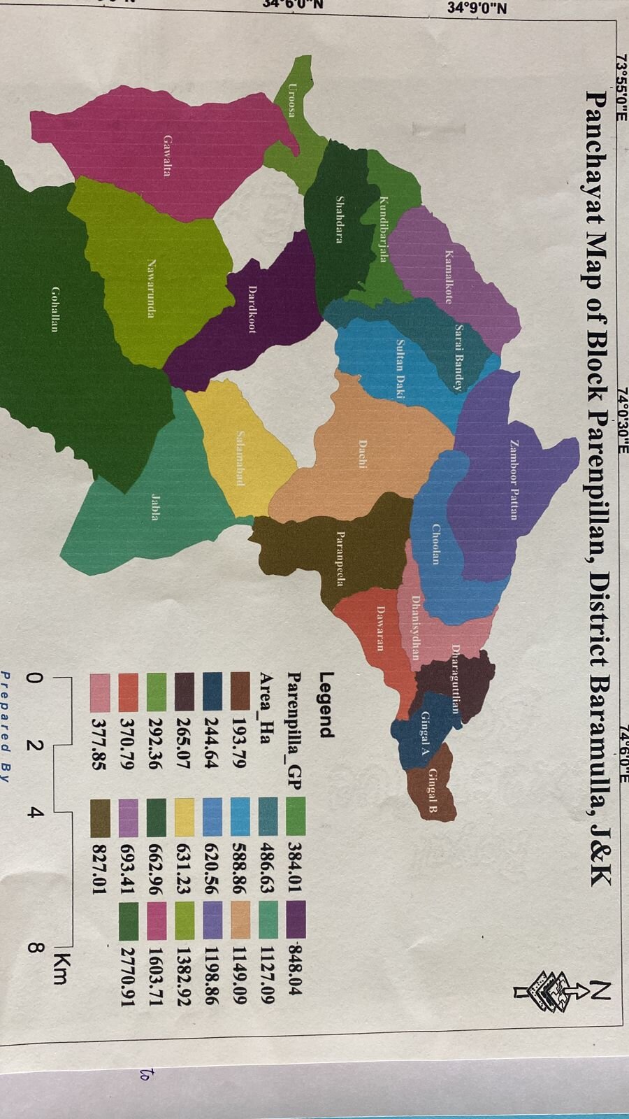
Name of Panchayat(Block & District) |
Kundibarjala, Parenpillan, Baramulla
|
| 2. |
Number of Villages |
1
|
| 3. |
Name of Villages |
kundibarjala
|
| 4. |
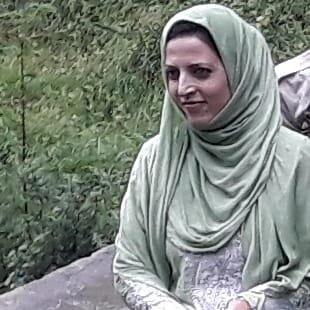
Sarpanch Name and Photograph |
tasmeen jalil
|
| 5. |
Sarpanch Mobile No |
9906692903
|
| 6. |
Panchs Name |
saif ali mughal,
showkat ali ,
mohd aslam ,
shafayat ahmad ,
komal khursheed ,
naseera bano,
ABDUL QUYOOM,
|
| 7. |
List of govt. officials |
|
| 8. |
Latitude/ Longitude |
34.103957, 73.97579
|
| 9. |
Area |
384.01 hec
|
| 10. |
Male (Population) |
1390
|
| 11. |
Female (Population) |
1327
|
| 12. |
Literacy rate |
93.96 %
|
| 13. |
Map |
|
| 14. |
Topography |
mountainous
|
| 15. |
Major Water source of Irrigation |
SURFACE WATER
|
| 16. |
Water related govt. Schemes |
NO
|
| 17. |
Crops |
RICE WHEAT AND MAZE
|
| 18. |
Schools |
middle school kundibarjala
primary school kundibarjala
primary school rama
primary school mir mohalla bagh
primary school alfinda
primary school batar
|
| 19. |
Angandwadi centers |
6
|
| 20. |
Status of Electrification |
90%
|
| 21. |
Status of piped water |
80%
|
| 22. |
Name of Police station |
POLICE STATION KAMALKOTE
|
| 23. |
Health Institutions |
public health centre kundibarjala
|
| 24. |
Animal Husbandry |
NO
|
| 25. |
Livestock�s |
cow
sheep
goat
horse
|
| 26. |
No. of Self Help Groups |
3
|
| 27. |
Altitude above Sea Level |
1296 m
|
| 28. |
Veterinary |
no
|
| 29. |
Specialty Crops etc. Natural Crops
|
no
|
| 30. |
Roads Connectivity |
YES
|
| 31. |
Prominent Tourist/ Religion places in the Panchyat |
ziyarat sharief anna dori
|
| 32. |
Distance from Nearest Headquater |
70
|
| 33. |
PMAY Houses Approved |
16
|
| 34. |
PMAY Houses Completed |
NO
|
| 35. |
No of House Holds |
398
|
| 36. |
No of House holds with toilets |
330
|
| 37. |
Does the Panchayat has its own Panchayat ghar |
No
|
| 38. |
Rented/Owned |
|
| 39. |
Geotagged Photo of Panchayat |

|
| 40. |
Geotagged Photo of Panchayat2 |
|
| 41. |
Uploaded Map |
|
