| Sno |
Parameters |
Information |
| 1. |
Name of Panchayat(Block & District) |
Gingal B, Parenpillan, Baramulla
|
| 2. |
Number of Villages |
1
|
| 3. |
Name of Villages |
Gingal
|
| 4. |
Sarpanch Name and Photograph |
ADMINISTRATOR
|
| 5. |
Sarpanch Mobile No |
9622709184
|
| 6. |
Panchs Name |
BASHIR AHMAD,
PARVEENA BEGUM,
GHULAM RASOOL BHAT,
MOHD JAMEEL KHAN,
MASRAT BEGUM,
MANGETULLAH KHAN,
ALTAF AHMAD SHEIKH,
|
| 7. |
List of govt. officials |
|
| 8. |
Latitude/ Longitude |
34. 131011°, 74. 101422°
|
| 9. |
Area |
193.79HECTARE
|
| 10. |
Male (Population) |
1100
|
| 11. |
Female (Population) |
917
|
| 12. |
Literacy rate |
89.28 percent
|
| 13. |
Map |
|
| 14. |
Topography |
Plain
|
| 15. |
Major Water source of Irrigation |
Khul/Stream
|
| 16. |
Water related govt. Schemes |
WSS
|
| 17. |
Crops |
maize,paddy, fodder crops
|
| 18. |
Schools |
Govt Higher Secondary School
KD High School
GPS Upper Gingal
GPS at Nalli Gingal B
kindergarten
|
| 19. |
Angandwadi centers |
3
|
| 20. |
Status of Electrification |
100 percent
|
| 21. |
Status of piped water |
69.03percent
|
| 22. |
Name of Police station |
P/S Uri
|
| 23. |
Health Institutions |
Govt Medical Health Sub Centre, gingal b
|
| 24. |
Animal Husbandry |
1
|
| 25. |
Livestock�s |
163 cattles,1 buffalo
|
| 26. |
No. of Self Help Groups |
0
|
| 27. |
Altitude above Sea Level |
1500Metres
|
| 28. |
Veterinary |
1
|
| 29. |
Specialty Crops etc. Natural Crops
|
no
|
| 30. |
Roads Connectivity |
All weather single lane
|
| 31. |
Prominent Tourist/ Religion places in the Panchyat |
Bosian ,Gingal B
|
| 32. |
Distance from Nearest Headquater |
28 kms
|
| 33. |
PMAY Houses Approved |
4
|
| 34. |
PMAY Houses Completed |
0
|
| 35. |
No of House Holds |
352
|
| 36. |
No of House holds with toilets |
352
|
| 37. |
Does the Panchayat has its own Panchayat ghar |
No
|
| 38. |
Rented/Owned |
|
| 39. |
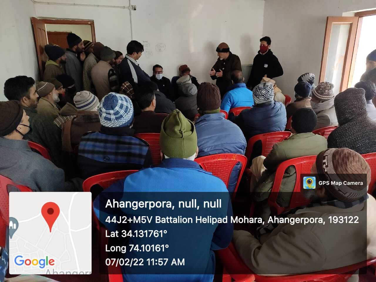
Geotagged Photo of Panchayat |
|
| 40. |
Geotagged Photo of Panchayat2 |

|
| 41. |
Uploaded Map |
|
