| Sno |
Parameters |
Information |
| 1. |
Name of Panchayat(Block & District) |
Sohal, Padder, Kishtwar
|
| 2. |
Number of Villages |
3
|
| 3. |
Name of Villages |
Sohal.kabban.ungaie
|
| 4. |
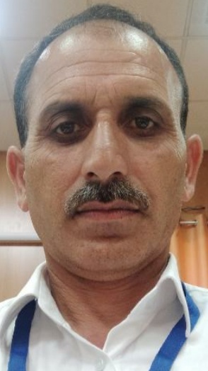
Sarpanch Name and Photograph |
Rajinder singh
|
| 5. |
Sarpanch Mobile No |
9797231343
|
| 6. |
Panchs Name |
Tashi somtan.,
Tenzin pachook,
Kewal krishan,
Savita Devi,
Gori lal,
Kuldeep singh,
Usha devi,
|
| 7. |
List of govt. officials |
Nawang tsering,
Rajinder Singh,
Ravi kant,
Pervaiz Ahmed,
Sharda Devi,
Daleep Kumar,
|
| 8. |
Latitude/ Longitude |
33.1246, 72.1542
|
| 9. |
Area |
2326.20
|
| 10. |
Male (Population) |
1054
|
| 11. |
Female (Population) |
981
|
| 12. |
Literacy rate |
65
|
| 13. |
Map |
|
| 14. |
Topography |
Hilly
|
| 15. |
Major Water source of Irrigation |
Zamindari khul
|
| 16. |
Water related govt. Schemes |
Jal shakti abhiyan
|
| 17. |
Crops |
Cereals.peas.potato etc
|
| 18. |
Schools |
High school.middle and pri.school
|
| 19. |
Angandwadi centers |
6
|
| 20. |
Status of Electrification |
Electrified
|
| 21. |
Status of piped water |
Normal status
|
| 22. |
Name of Police station |
Atholi
|
| 23. |
Health Institutions |
Sohal.kabban.ungaie
|
| 24. |
Animal Husbandry |
Sohal
|
| 25. |
Livestock�s |
1300
|
| 26. |
No. of Self Help Groups |
10
|
| 27. |
Altitude above Sea Level |
5500feet
|
| 28. |
Veterinary |
Sohal
|
| 29. |
Specialty Crops etc. Natural Crops
|
Potato.peas
|
| 30. |
Roads Connectivity |
11km
|
| 31. |
Prominent Tourist/ Religion places in the Panchyat |
Sohal.kabban.ungaie
|
| 32. |
Distance from Nearest Headquater |
12km
|
| 33. |
PMAY Houses Approved |
0
|
| 34. |
PMAY Houses Completed |
0
|
| 35. |
No of House Holds |
0
|
| 36. |
No of House holds with toilets |
0
|
| 37. |
Does the Panchayat has its own Panchayat ghar |
Yes
|
| 38. |
Rented/Owned |
Rented
|
| 39. |
Geotagged Photo of Panchayat |
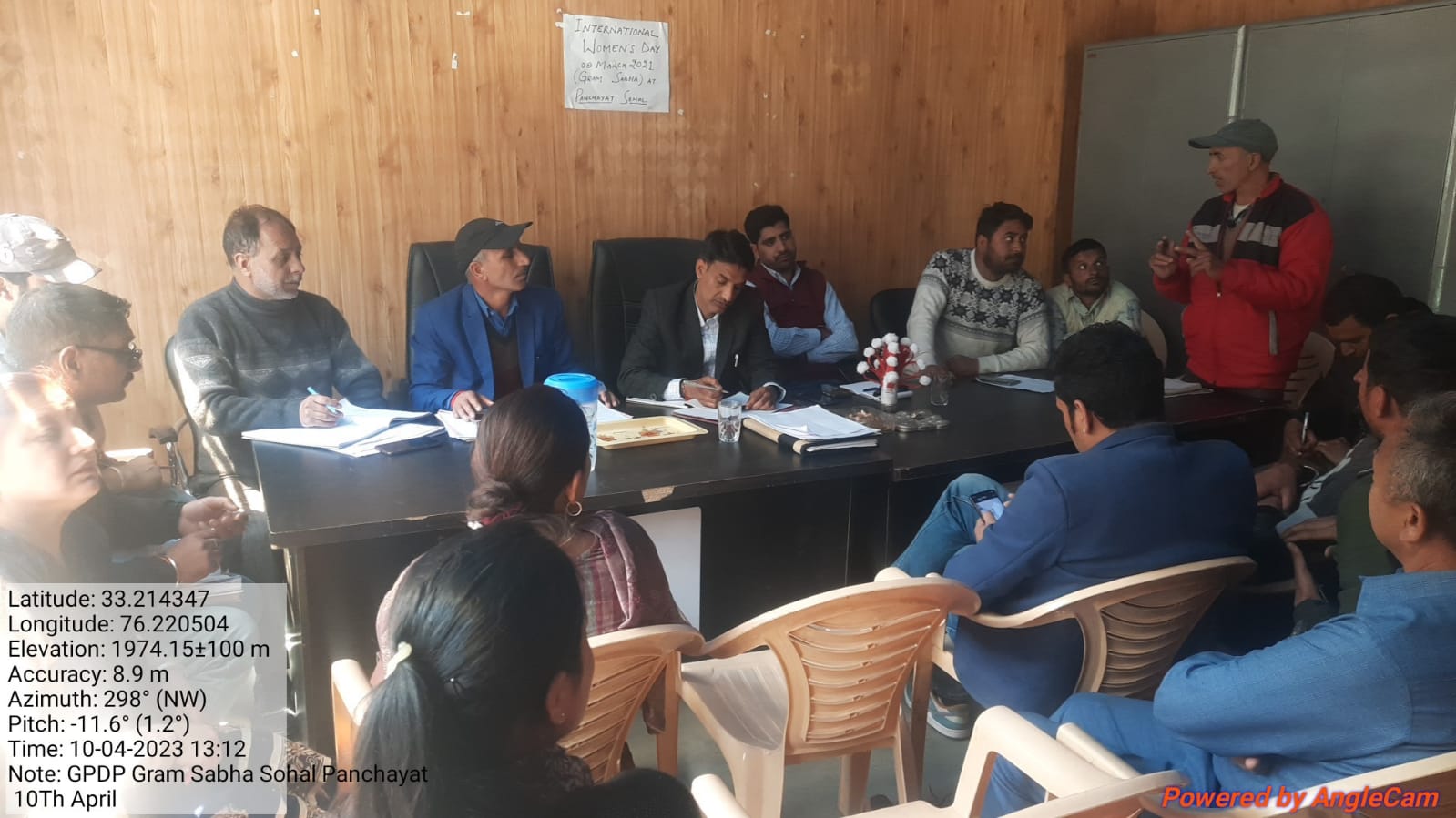
|
| 40. |
Geotagged Photo of Panchayat2 |

|
| 41. |
Uploaded Map |
|
