| Sno |
Parameters |
Information |
| 1. |
Name of Panchayat(Block & District) |
Naganari, Noorkhah, Baramulla
|
| 2. |
Number of Villages |
02
|
| 3. |
Name of Villages |
Manzgam and Naganari
|
| 4. |
Sarpanch Name and Photograph |
Rubina Akhter

|
| 5. |
Sarpanch Mobile No |
9622776641
|
| 6. |
Panchs Name |
Zareefa Begum,
Naveed Ahmad Khan,
Mohd Qasim Sheikh,
Dilshada Begum,
Javed Ahmad Qadri,
Gh Nabi,
Nazmeena Begum,
Farooq Ahmad Mir,
Rafiqa Begum,
|
| 7. |
List of govt. officials |
Shabir Ahmad Dar,
Zahoor Ahmad Parray,
Fayaz Ahmad Magray,
|
| 8. |
Latitude/ Longitude |
34, 74
|
| 9. |
Area |
600 Acres
|
| 10. |
Male (Population) |
1200
|
| 11. |
Female (Population) |
1050
|
| 12. |
Literacy rate |
48
|
| 13. |
Map |
|
| 14. |
Topography |
Maximum Elevation: 3796m Minimum Elevation: 1554 m
|
| 15. |
Major Water source of Irrigation |
Khuls are the major source of water from river Jehlum
|
| 16. |
Water related govt. Schemes |
Lift Irrigation
|
| 17. |
Crops |
Maize, Paddy
|
| 18. |
Schools |
Govt School
|
| 19. |
Angandwadi centers |
12
|
| 20. |
Status of Electrification |
100 %
|
| 21. |
Status of piped water |
60 %
|
| 22. |
Name of Police station |
Boniyar
|
| 23. |
Health Institutions |
Primary Health center
|
| 24. |
Animal Husbandry |
0
|
| 25. |
Livestock�s |
900
|
| 26. |
No. of Self Help Groups |
20
|
| 27. |
Altitude above Sea Level |
1500
|
| 28. |
Veterinary |
0
|
| 29. |
Specialty Crops etc. Natural Crops
|
Nil
|
| 30. |
Roads Connectivity |
70 %
|
| 31. |
Prominent Tourist/ Religion places in the Panchyat |
Nil
|
| 32. |
Distance from Nearest Headquater |
16 Km
|
| 33. |
PMAY Houses Approved |
69
|
| 34. |
PMAY Houses Completed |
12
|
| 35. |
No of House Holds |
650
|
| 36. |
No of House holds with toilets |
100
|
| 37. |
Does the Panchayat has its own Panchayat ghar |
No
|
| 38. |
Rented/Owned |
|
| 39. |
Geotagged Photo of Panchayat |
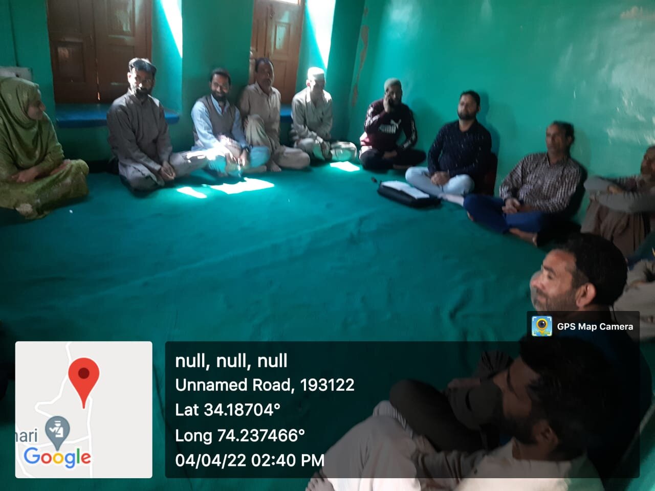
|
| 40. |
Geotagged Photo of Panchayat2 |

|
| 41. |
Uploaded Map |
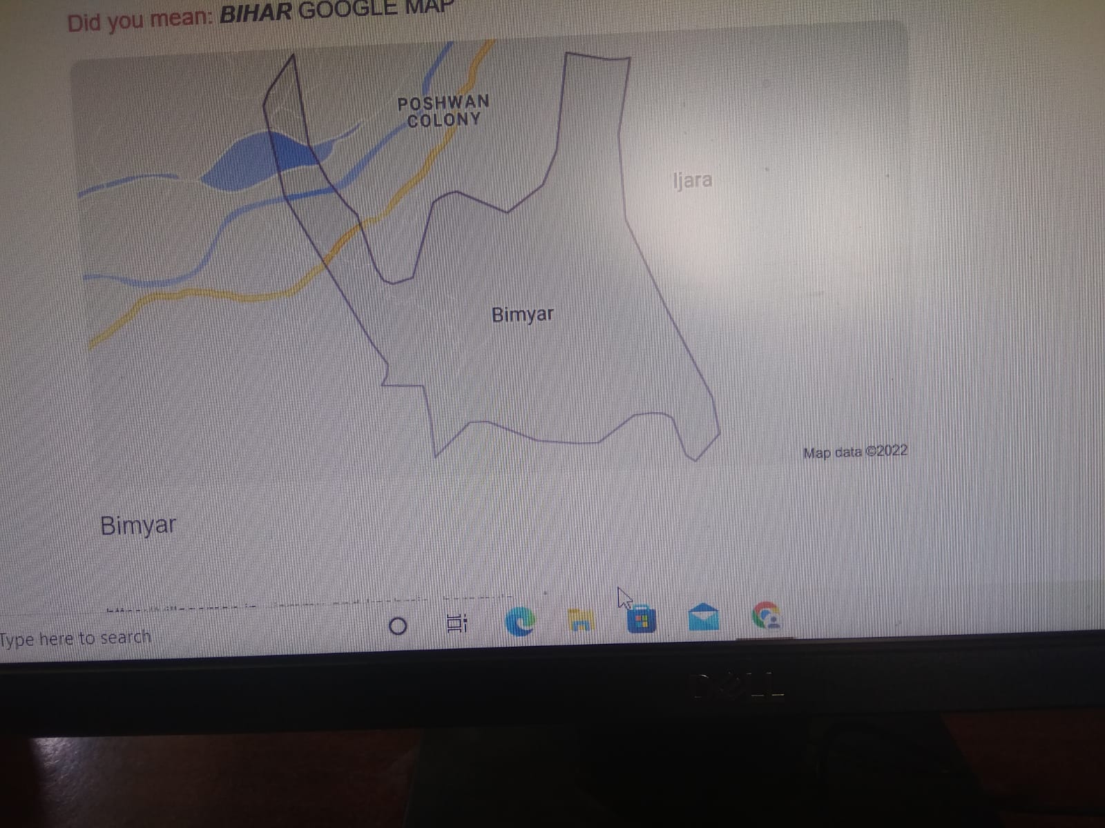
|
