| Sno |
Parameters |
Information |
| 1. |
Name of Panchayat(Block & District) |
Qasba-Lower, NSSB, Poonch
|
| 2. |
Number of Villages |
01
|
| 3. |
Name of Villages |
QASBA
|
| 4. |
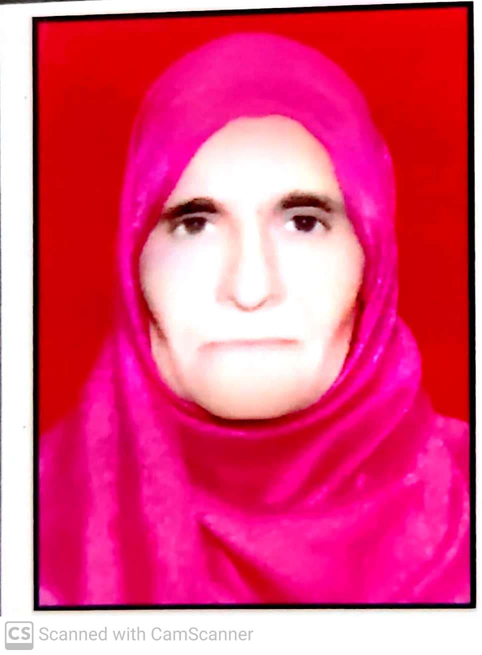
Sarpanch Name and Photograph |
NASREEN AKHTER
|
| 5. |
Sarpanch Mobile No |
7051194445
|
| 6. |
Panchs Name |
SHOKAT HUSSAIN S/O MOHD BASHIR,
JAHANGIR AKHTER W/O MOHD ARAF,
MURAWAT HUSSAIN SHAH S/O MATLOOB HUSSAIN,
FAREED AHMED S/O MOHD SHARIEF,
MUNIJA BI W/O MOHD IQBAL,
KHURSHEED AHMED S/O SULTAN JOO,
AZMEED HUSSAIN SHAH S/O KHUSHADAD HUSSAIN,
|
| 7. |
List of govt. officials |
QASIM ALI,
AYAZ MEHMOOD,
NASREEN AKHTER,
|
| 8. |
Latitude/ Longitude |
33.802875, 74.159926
|
| 9. |
Area |
1315.4
|
| 10. |
Male (Population) |
936
|
| 11. |
Female (Population) |
802
|
| 12. |
Literacy rate |
60
|
| 13. |
Map |
|
| 14. |
Topography |
hilly
|
| 15. |
Major Water source of Irrigation |
Spring /Tap water
|
| 16. |
Water related govt. Schemes |
Jal Shakti
|
| 17. |
Crops |
Maiz
|
| 18. |
Schools |
High School 01
Primary School 04
|
| 19. |
Angandwadi centers |
angandwadi centers 04
|
| 20. |
Status of Electrification |
60
|
| 21. |
Status of piped water |
70
|
| 22. |
Name of Police station |
Police Choki Bandichechian
|
| 23. |
Health Institutions |
Health Center Qasba
|
| 24. |
Animal Husbandry |
Nil
|
| 25. |
Livestock�s |
yes
|
| 26. |
No. of Self Help Groups |
Nil
|
| 27. |
Altitude above Sea Level |
Nil
|
| 28. |
Veterinary |
Nil
|
| 29. |
Specialty Crops etc. Natural Crops
|
Nil
|
| 30. |
Roads Connectivity |
PARTALLY
|
| 31. |
Prominent Tourist/ Religion places in the Panchyat |
Nil
|
| 32. |
Distance from Nearest Headquater |
11
|
| 33. |
PMAY Houses Approved |
0
|
| 34. |
PMAY Houses Completed |
0
|
| 35. |
No of House Holds |
0
|
| 36. |
No of House holds with toilets |
0
|
| 37. |
Does the Panchayat has its own Panchayat ghar |
Yes
|
| 38. |
Rented/Owned |
Owned
|
| 39. |
Geotagged Photo of Panchayat |
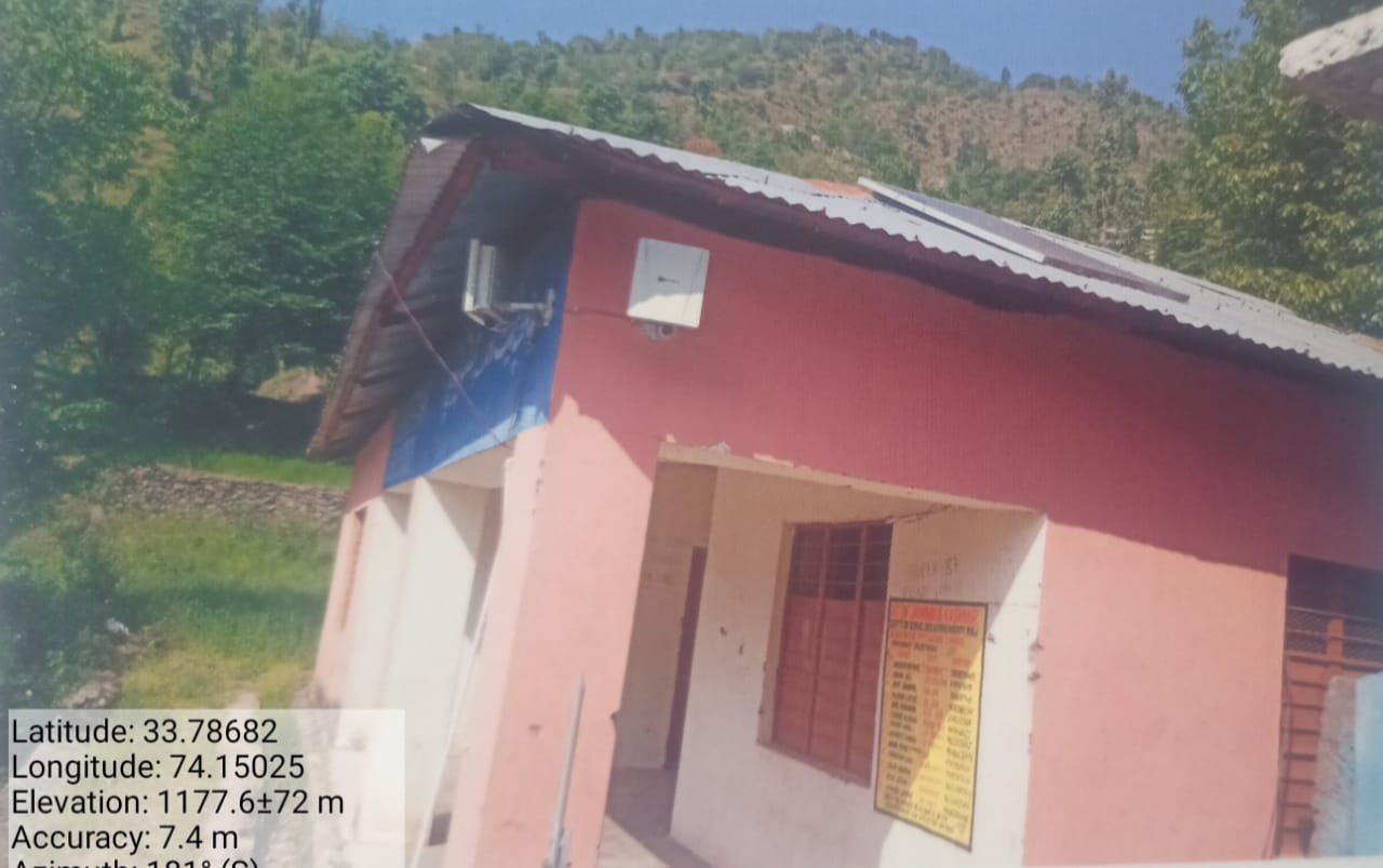
|
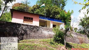
| 40. |
Geotagged Photo of Panchayat2 |

|
| 41. |
Uploaded Map |
|
