| Sno |
Parameters |
Information |
| 1. |
Name of Panchayat(Block & District) |
Khour, Miran Sahib, JAMMU
|
| 2. |
Number of Villages |
2
|
| 3. |
Name of Villages |
KHOUR, CHAK HARNI
|
| 4. |
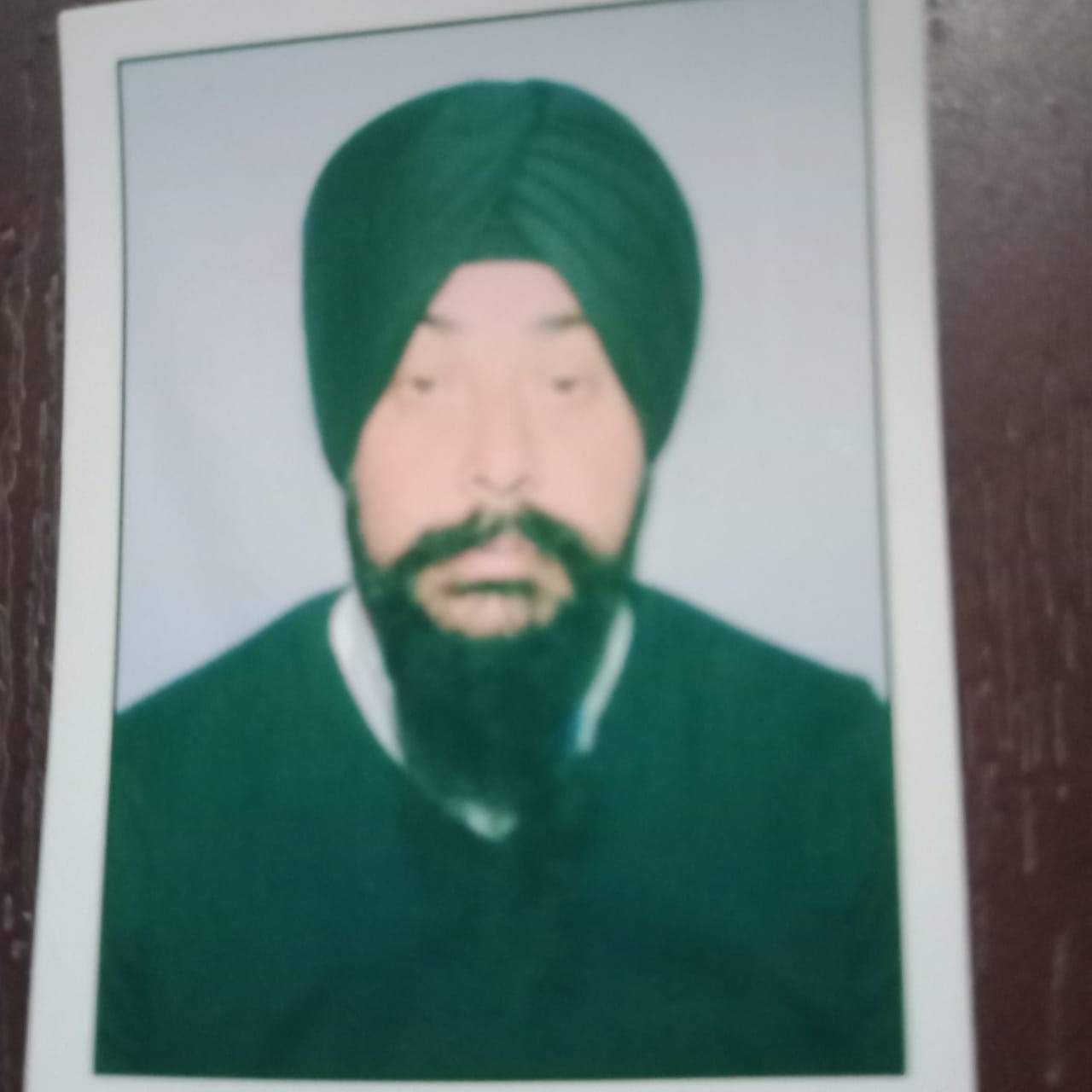
Sarpanch Name and Photograph |
PARAMJEET SINGH
|
| 5. |
Sarpanch Mobile No |
9906135749
|
| 6. |
Panchs Name |
HEM RAJ,
PAYAL DEVI,
GURMEET SINGH,
SUSHMA LATA,
BIKRAM SINGH,
BHADUR CHAND,
RAJNI KUMARI,
BALDEV SINGH,
|
| 7. |
List of govt. officials |
Komlesh Kumar,
SANTOSH RANI,
SUSHMA KUMARI,
DARAMVIR,
Paramjet singh,
AMANDEEP SINGH,
YASHPAL SINGH,
|
| 8. |
Latitude/ Longitude |
32.61, 74.79
|
| 9. |
Area |
461.75
|
| 10. |
Male (Population) |
1512
|
| 11. |
Female (Population) |
1208
|
| 12. |
Literacy rate |
900
|
| 13. |
Map |
|
| 14. |
Topography |
NIL
|
| 15. |
Major Water source of Irrigation |
TAB WATER
|
| 16. |
Water related govt. Schemes |
P.H.E
|
| 17. |
Crops |
Wheets/Rice
|
| 18. |
Schools |
GOVT PRIMARY SCHOOL CHAK HARNI,MIDDLE SCHOOL KHOUR
|
| 19. |
Angandwadi centers |
7
|
| 20. |
Status of Electrification |
Yes
|
| 21. |
Status of piped water |
Yes
|
| 22. |
Name of Police station |
Miran Sahib
|
| 23. |
Health Institutions |
PHC
|
| 24. |
Animal Husbandry |
Nil
|
| 25. |
Livestock�s |
NIL
|
| 26. |
No. of Self Help Groups |
NIL
|
| 27. |
Altitude above Sea Level |
NIL
|
| 28. |
Veterinary |
Nil
|
| 29. |
Specialty Crops etc. Natural Crops
|
WHEAT/RICE/MUSTARD
|
| 30. |
Roads Connectivity |
Yes
|
| 31. |
Prominent Tourist/ Religion places in the Panchyat |
NIL
|
| 32. |
Distance from Nearest Headquater |
20 KM
|
| 33. |
PMAY Houses Approved |
10
|
| 34. |
PMAY Houses Completed |
6
|
| 35. |
No of House Holds |
473
|
| 36. |
No of House holds with toilets |
400
|
| 37. |
Does the Panchayat has its own Panchayat ghar |
Yes
|
| 38. |
Rented/Owned |
Owned
|
| 39. |
Geotagged Photo of Panchayat |

|
| 40. |
Geotagged Photo of Panchayat2 |
|
| 41. |
Uploaded Map |
|
