| Sno |
Parameters |
Information |
| 1. |
Name of Panchayat(Block & District) |
dharana lower, Mendhar, Poonch
|
| 2. |
Number of Villages |
1
|
| 3. |
Name of Villages |
Dharana
|
| 4. |
Sarpanch Name and Photograph |
Mohd Shariq khan

|
| 5. |
Sarpanch Mobile No |
9797614140
|
| 6. |
Panchs Name |
Mohd Aslam,
Shaheena Akhtar,
Mohd Arif,
Subash chander,
Tahira Kouser,
AB Qayoom,
Manzoor Hussain,
|
| 7. |
List of govt. officials |
Khursheed Ahmed Khan,
Shubham Sharma,
Riaz Ahmed Ch.,
Shazad Ahmed Ch.,
Mohd. Amin Ch.,
|
| 8. |
Latitude/ Longitude |
33.607577, 74.130014
|
| 9. |
Area |
61 sq. Km
|
| 10. |
Male (Population) |
1278
|
| 11. |
Female (Population) |
1274
|
| 12. |
Literacy rate |
60%
|
| 13. |
Map |
|
| 14. |
Topography |
Hilly
|
| 15. |
Major Water source of Irrigation |
Rain water
|
| 16. |
Water related govt. Schemes |
NA
|
| 17. |
Crops |
Wheat, Maize
|
| 18. |
Schools |
Govt Degree College, HSS, Govt. Middle School, Primary schools, Anganwari school
|
| 19. |
Angandwadi centers |
9
|
| 20. |
Status of Electrification |
95%
|
| 21. |
Status of piped water |
Available
|
| 22. |
Name of Police station |
Police Station Mendhar
|
| 23. |
Health Institutions |
Nil
|
| 24. |
Animal Husbandry |
NA
|
| 25. |
Livestock�s |
NA
|
| 26. |
No. of Self Help Groups |
0
|
| 27. |
Altitude above Sea Level |
1200m
|
| 28. |
Veterinary |
0
|
| 29. |
Specialty Crops etc. Natural Crops
|
NA
|
| 30. |
Roads Connectivity |
Yes
|
| 31. |
Prominent Tourist/ Religion places in the Panchyat |
Nil
|
| 32. |
Distance from Nearest Headquater |
4km
|
| 33. |
PMAY Houses Approved |
NA
|
| 34. |
PMAY Houses Completed |
NA
|
| 35. |
No of House Holds |
398
|
| 36. |
No of House holds with toilets |
NA
|
| 37. |
Does the Panchayat has its own Panchayat ghar |
Yes
|
| 38. |
Rented/Owned |
Owned
|
| 39. |
Geotagged Photo of Panchayat |
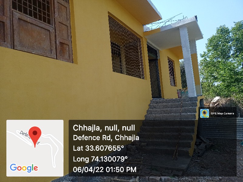
|
| 40. |
Geotagged Photo of Panchayat2 |
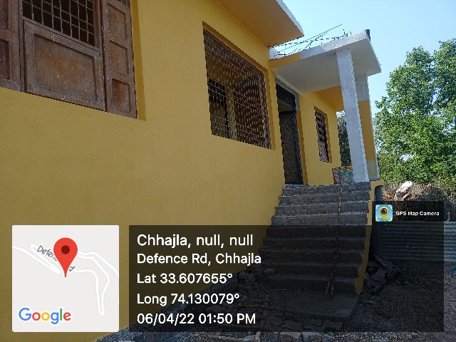
|
| 41. |
Uploaded Map |

|
