
Panchayat Details
General Profile
| Sno | Parameters | Information |
|---|---|---|
| 1. | Name of Panchayat(Block & District) | Teerna , Mawer (Qalamabad), KUPWARA |
| 2. | Number of Villages | 1 |
| 3. | Name of Villages | TEERINA |
| 4. | Sarpanch Name and Photograph | Ab Rashid Wani 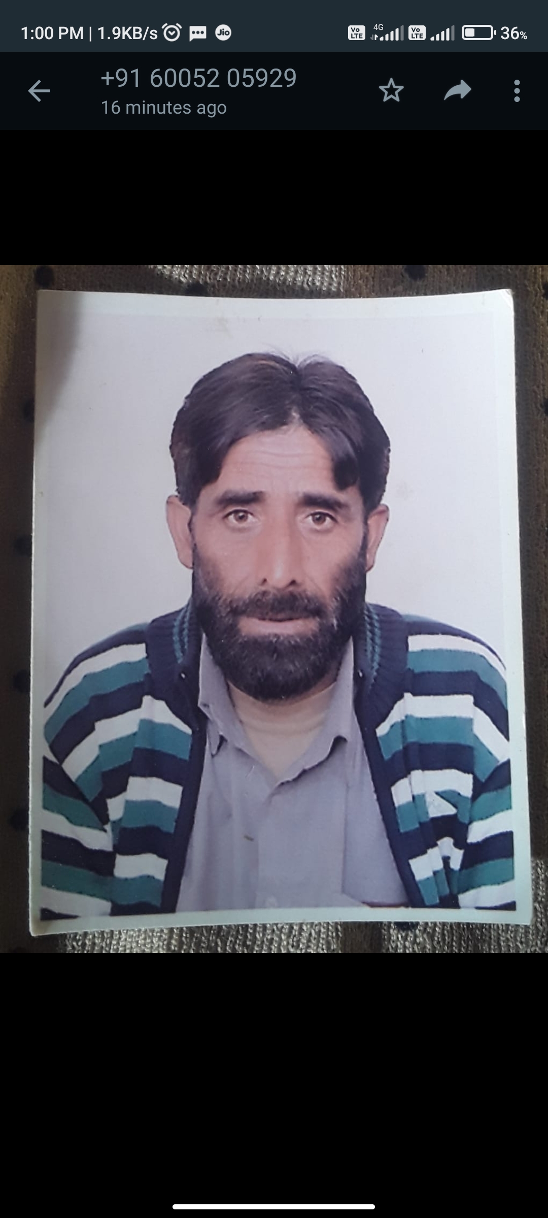
|
| 5. | Sarpanch Mobile No | 6005205929 |
| 6. | Panchs Name | Rayees Ahmad Khoja, Farooq Ahmad Mir, Shareefa Begum, Khazir Mohd Bhat, Saleeam Begum, Gh Nabi Malla, Mohd Ashraf, Zareena Begum, Mohd Sultan Malla, |
| 7. | List of govt. officials | MOHD SHABAN, |
| 8. | Latitude/ Longitude | 34.332911, 74.238632 |
| 9. | Area | 74.9 hecters |
| 10. | Male (Population) | 501 |
| 11. | Female (Population) | 458 |
| 12. | Literacy rate | 55 |
| 13. | Map | |
| 14. | Topography | Hilly |
| 15. | Major Water source of Irrigation | Irrigation kuls |
| 16. | Water related govt. Schemes | Tapped water |
| 17. | Crops | Rice,maze |
| 18. | Schools | Middle school teerina, primary school teerina SHARTGUND. |
| 19. | Angandwadi centers | No |
| 20. | Status of Electrification | 100 covered |
| 21. | Status of piped water | 100 covered |
| 22. | Name of Police station | Kralgund police station |
| 23. | Health Institutions | NA |
| 24. | Animal Husbandry | NA |
| 25. | Livestock�s | 300 |
| 26. | No. of Self Help Groups | 2 |
| 27. | Altitude above Sea Level | 2500 |
| 28. | Veterinary | NA |
| 29. | Specialty Crops etc. Natural Crops | Herbs |
| 30. | Roads Connectivity | Yes |
| 31. | Prominent Tourist/ Religion places in the Panchyat | Darbal pain,monbal,banday |
| 32. | Distance from Nearest Headquater | 30 |
| 33. | PMAY Houses Approved | 4 |
| 34. | PMAY Houses Completed | 0 |
| 35. | No of House Holds | 132 |
| 36. | No of House holds with toilets | 110 |
| 37. | Does the Panchayat has its own Panchayat ghar | No |
| 38. | Rented/Owned | Rented |
| 39. | Geotagged Photo of Panchayat | |
| 40. | Geotagged Photo of Panchayat2 | |
| 41. | Uploaded Map | 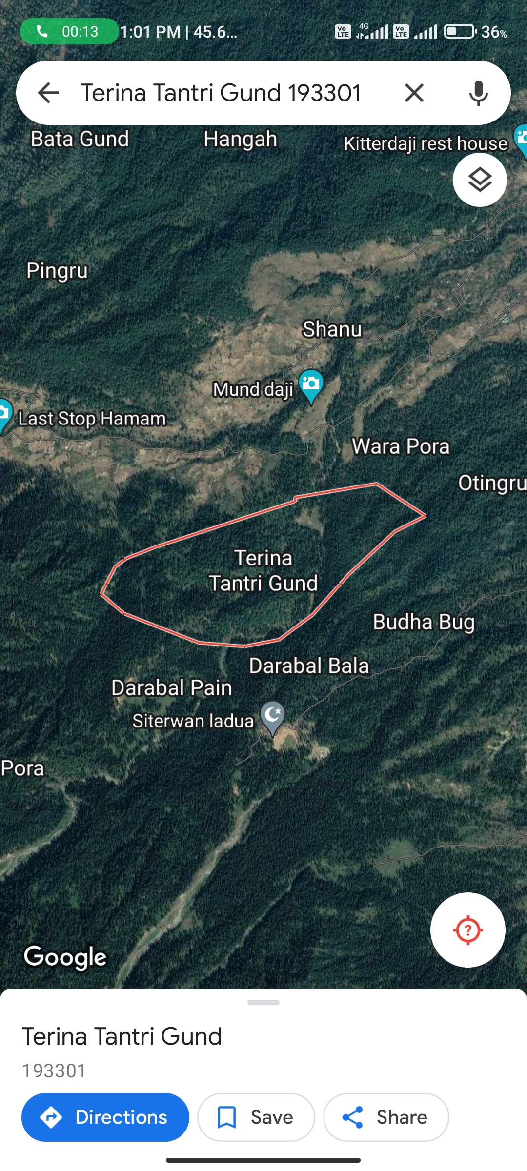
|