| Sno |
Parameters |
Information |
| 1. |
Name of Panchayat(Block & District) |
Jehama, Mawer (Qalamabad), KUPWARA
|
| 2. |
Number of Villages |
2
|
| 3. |
Name of Villages |
1.Jehama 2 SHEIKHPORA
|
| 4. |
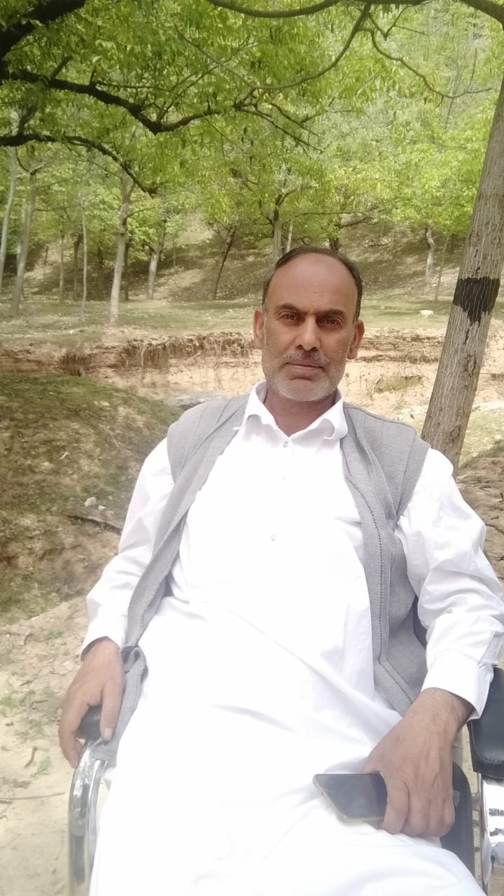
Sarpanch Name and Photograph |
GHULAM RASOOL DAR
|
| 5. |
Sarpanch Mobile No |
7051226384
|
| 6. |
Panchs Name |
|
| 7. |
List of govt. officials |
|
| 8. |
Latitude/ Longitude |
34.329675, 74.230942
|
| 9. |
Area |
237.1
|
| 10. |
Male (Population) |
953
|
| 11. |
Female (Population) |
862
|
| 12. |
Literacy rate |
70
|
| 13. |
Map |
|
| 14. |
Topography |
Semi hilly
|
| 15. |
Major Water source of Irrigation |
Minor irrigation sources like canels
|
| 16. |
Water related govt. Schemes |
Jal jeevan abhiyan
|
| 17. |
Crops |
Paddy maize
|
| 18. |
Schools |
1.Govt middle school jehama 2 ssa shart mohalla 3 ssa beigh mohalla 4 . Middle school sheikpora 5 SSA primary 6 SSA BHAT MOHALLA 7 SSA HAKDAJI
|
| 19. |
Angandwadi centers |
1. AWC BEIGH MOHALLA 2. AWC GANIE MOHALLA 3.AWC PARREY MOHALLAH 4. AWC WAR MOHALLA 5. AWC BHAT MOHALLA
|
| 20. |
Status of Electrification |
8-12 hours daily requirement of electric wire and more poles
|
| 21. |
Status of piped water |
2- 4 hours. Semi covered
|
| 22. |
Name of Police station |
Qalamabad
|
| 23. |
Health Institutions |
1. Family and welfare health centre jehama
|
| 24. |
Animal Husbandry |
Nil
|
| 25. |
Livestock�s |
2000
|
| 26. |
No. of Self Help Groups |
1
|
| 27. |
Altitude above Sea Level |
200
|
| 28. |
Veterinary |
Nil
|
| 29. |
Specialty Crops etc. Natural Crops
|
Nil
|
| 30. |
Roads Connectivity |
All weather roads
|
| 31. |
Prominent Tourist/ Religion places in the Panchyat |
Nil
|
| 32. |
Distance from Nearest Headquater |
35
|
| 33. |
PMAY Houses Approved |
13
|
| 34. |
PMAY Houses Completed |
Nil
|
| 35. |
No of House Holds |
280
|
| 36. |
No of House holds with toilets |
230
|
| 37. |
Does the Panchayat has its own Panchayat ghar |
Yes
|
| 38. |
Rented/Owned |
Owned
|
| 39. |
Geotagged Photo of Panchayat |

|
| 40. |
Geotagged Photo of Panchayat2 |

|
| 41. |
Uploaded Map |
|
