| Sno |
Parameters |
Information |
| 1. |
Name of Panchayat(Block & District) |
Ghani Dharati, Mankote, Poonch
|
| 2. |
Number of Villages |
1
|
| 3. |
Name of Villages |
GHANI
|
| 4. |
Sarpanch Name and Photograph |
MOHD IKHLAQ

|
| 5. |
Sarpanch Mobile No |
8493871784
|
| 6. |
Panchs Name |
Mohd Farooq,
Saffia Begum,
Mohd Sadiq,
Mohd Sabir,
MUNIRA BI,
MOHD AZAM,
MOHD AFSAR,
GAGAN DEEP KOUR,
MOHD IQBAL,
|
| 7. |
List of govt. officials |
Mohd ikhlaq,
Mohd Aslam,
Mohd Iqbal ,
|
| 8. |
Latitude/ Longitude |
33.697062, 74.056266
|
| 9. |
Area |
10 Sq km
|
| 10. |
Male (Population) |
1480
|
| 11. |
Female (Population) |
1840
|
| 12. |
Literacy rate |
0.4
|
| 13. |
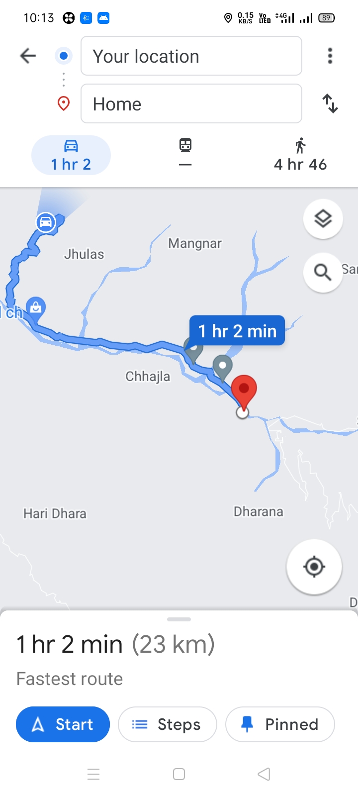
Map |
|
| 14. |
Topography |
Hilly
|
| 15. |
Major Water source of Irrigation |
Rain Water
|
| 16. |
Water related govt. Schemes |
Nil
|
| 17. |
Crops |
Wheat Rice Maize
|
| 18. |
Schools |
1)Govt High school khajoor dhara
2)Govt middle school jattan
3)Govt primary school khaith
4)Govt primary school Dana
5)Govt middle school lehar
6)Govt primary school gandidhar
7)Govt girls middle school dharati
8)Govt primary school ghakhran
|
| 19. |
Angandwadi centers |
1)Anganwadi center khajoor dhara
2)Anganwadi centre mohalla Galla
3)Anganwadi centre mohalla lehar
4)Anganwadi center mohalla sardaran
|
| 20. |
Status of Electrification |
poor
|
| 21. |
Status of piped water |
Nil
|
| 22. |
Name of Police station |
Mendhar
|
| 23. |
Health Institutions |
nil
|
| 24. |
Animal Husbandry |
Nil
|
| 25. |
Livestock�s |
not known
|
| 26. |
No. of Self Help Groups |
Nil
|
| 27. |
Altitude above Sea Level |
not known
|
| 28. |
Veterinary |
Nil
|
| 29. |
Specialty Crops etc. Natural Crops
|
not known
|
| 30. |
Roads Connectivity |
poor
|
| 31. |
Prominent Tourist/ Religion places in the Panchyat |
Mandir lower Devta
|
| 32. |
Distance from Nearest Headquater |
25
|
| 33. |
PMAY Houses Approved |
146
|
| 34. |
PMAY Houses Completed |
58
|
| 35. |
No of House Holds |
Na
|
| 36. |
No of House holds with toilets |
Na
|
| 37. |
Does the Panchayat has its own Panchayat ghar |
Yes
|
| 38. |
Rented/Owned |
Owned
|
| 39. |
Geotagged Photo of Panchayat |

|
| 40. |
Geotagged Photo of Panchayat2 |
|
| 41. |
Uploaded Map |
|
