
Panchayat Details
General Profile
| Sno | Parameters | Information |
|---|---|---|
| 1. | Name of Panchayat(Block & District) | DEEDIKOOT, Kupwara, KUPWARA |
| 2. | Number of Villages | 2 |
| 3. | Name of Villages | Gotingo, Deedikot |
| 4. | Sarpanch Name and Photograph | Posha Begum 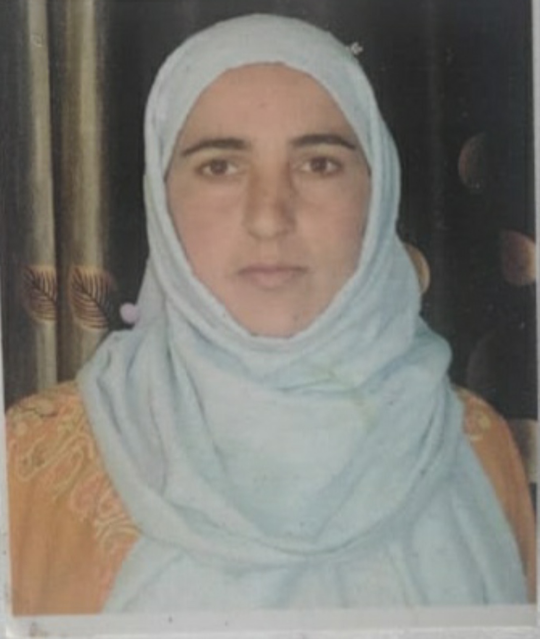
|
| 5. | Sarpanch Mobile No | 917006571116 |
| 6. | Panchs Name | Mr.Mohd Amin Wani, Mst.Gh Rasool Dar, Mr.Gh Mohi ud din Khan, Mst.Farida Begum, Mr.Gh Ahmad Sofi, Mr.Nissar Ahmad Bhat, Rubeena Begum, Mohd Shareef Khan, Sayeeda Begum, Bashir Ahmad Bhat, Shabam Amin, |
| 7. | List of govt. officials | Sheikh Inam ul Quadir, Mohammad Irshad shah, Altaf Ahmad, |
| 8. | Latitude/ Longitude | 34.494374, 74.201607 |
| 9. | Area | 150ha |
| 10. | Male (Population) | 1350 |
| 11. | Female (Population) | 1134 |
| 12. | Literacy rate | 57 |
| 13. | Map | |
| 14. | Topography | Plain |
| 15. | Major Water source of Irrigation | Canal |
| 16. | Water related govt. Schemes | Jal shakti |
| 17. | Crops | Kharif |
| 18. | Schools | Govt and private |
| 19. | Angandwadi centers | 7 |
| 20. | Status of Electrification | 100% |
| 21. | Status of piped water | 30% |
| 22. | Name of Police station | Vilgam |
| 23. | Health Institutions | Wellness centre |
| 24. | Animal Husbandry | Na |
| 25. | Livestock�s | Cattle |
| 26. | No. of Self Help Groups | NA |
| 27. | Altitude above Sea Level | NA |
| 28. | Veterinary | NA |
| 29. | Specialty Crops etc. Natural Crops | NA |
| 30. | Roads Connectivity | Yes |
| 31. | Prominent Tourist/ Religion places in the Panchyat | Parithem |
| 32. | Distance from Nearest Headquater | 4km |
| 33. | PMAY Houses Approved | 10 |
| 34. | PMAY Houses Completed | 0 |
| 35. | No of House Holds | 460 |
| 36. | No of House holds with toilets | 440 |
| 37. | Does the Panchayat has its own Panchayat ghar | No |
| 38. | Rented/Owned | |
| 39. | Geotagged Photo of Panchayat | |
| 40. | Geotagged Photo of Panchayat2 | |
| 41. | Uploaded Map |