| Sno |
Parameters |
Information |
| 1. |
Name of Panchayat(Block & District) |
Sainth, Khour, JAMMU
|
| 2. |
Number of Villages |
5
|
| 3. |
Name of Villages |
sainth, garar,mangail avtara,mangail lalu, kharota
|
| 4. |
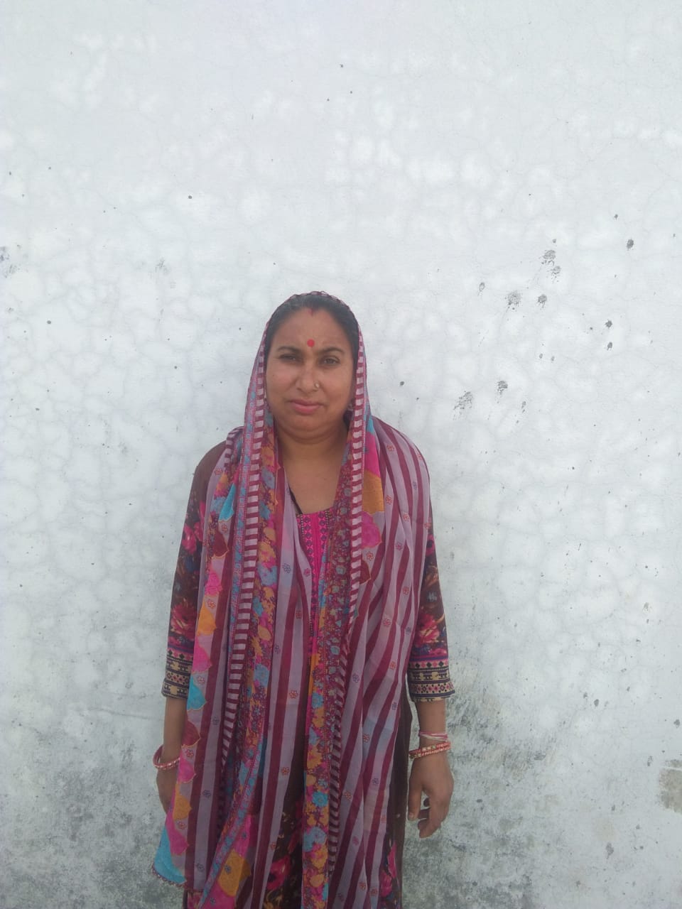
Sarpanch Name and Photograph |
jyothi dei
|
| 5. |
Sarpanch Mobile No |
9622147945
|
| 6. |
Panchs Name |
krishan lal,
dwarka nath,
anu radha,
neeru bala,
sukhdev raj,
ramesh kumar,
suraj parksh,
suresh singh,
seema devi,
|
| 7. |
List of govt. officials |
BACHAN SINGH,
TARSEEM LAL,
SHAMMI SHARMA,
|
| 8. |
Latitude/ Longitude |
32.47, 74.29
|
| 9. |
Area |
222.17
|
| 10. |
Male (Population) |
1500
|
| 11. |
Female (Population) |
1439
|
| 12. |
Literacy rate |
77%
|
| 13. |
Map |
|
| 14. |
Topography |
irrigarted
|
| 15. |
Major Water source of Irrigation |
canal
|
| 16. |
Water related govt. Schemes |
phe
|
| 17. |
Crops |
kharif,rabi
|
| 18. |
Schools |
pry school, middle school
|
| 19. |
Angandwadi centers |
11
|
| 20. |
Status of Electrification |
pdd
|
| 21. |
Status of piped water |
satisfied
|
| 22. |
Name of Police station |
nil
|
| 23. |
Health Institutions |
psc
|
| 24. |
Animal Husbandry |
nil
|
| 25. |
Livestock�s |
1800
|
| 26. |
No. of Self Help Groups |
0
|
| 27. |
Altitude above Sea Level |
245 metres
|
| 28. |
Veterinary |
no
|
| 29. |
Specialty Crops etc. Natural Crops
|
paddy, wheat
|
| 30. |
Roads Connectivity |
yes
|
| 31. |
Prominent Tourist/ Religion places in the Panchyat |
no
|
| 32. |
Distance from Nearest Headquater |
69
|
| 33. |
PMAY Houses Approved |
|
| 34. |
PMAY Houses Completed |
|
| 35. |
No of House Holds |
|
| 36. |
No of House holds with toilets |
|
| 37. |
Does the Panchayat has its own Panchayat ghar |
|
| 38. |
Rented/Owned |
|
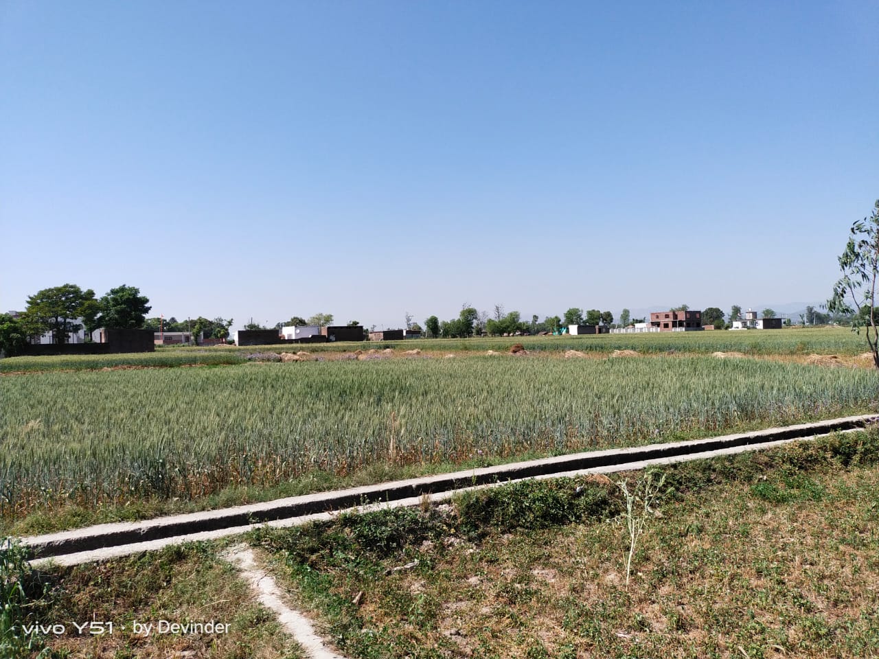
| 39. |
Geotagged Photo of Panchayat |

|
| 40. |
Geotagged Photo of Panchayat2 |
|
| 41. |
Uploaded Map |
|
