| Sno |
Parameters |
Information |
| 1. |
Name of Panchayat(Block & District) |
Hariwani, Khansahib, BUDGAM
|
| 2. |
Number of Villages |
3
|
| 3. |
Name of Villages |
Hariwani, Gundi pannah, Gamgulla
|
| 4. |
Sarpanch Name and Photograph |
Saleema bano

|
| 5. |
Sarpanch Mobile No |
9622301204
|
| 6. |
Panchs Name |
Bashir ahmad khan,
Gulam u din khan,
Mohd amin khan,
Nazir ahmad khan,
|
| 7. |
List of govt. officials |
Lateef ahmad wani ,
Saleema bano,
Syed wasim safvi ,
Mrs Hafeeza,
Shafqat indrabi,
Mir mohd umer,
|
| 8. |
Latitude/ Longitude |
33.957355°, 74.631077°
|
| 9. |
Area |
6 sqm approx
|
| 10. |
Male (Population) |
2314
|
| 11. |
Female (Population) |
1810
|
| 12. |
Literacy rate |
65%
|
| 13. |
Map |
|
| 14. |
Topography |
Hilly Carewas
|
| 15. |
Major Water source of Irrigation |
Canals, Rain water
|
| 16. |
Water related govt. Schemes |
Jal shakti
|
| 17. |
Crops |
Rice, Maize, pea, Mustard
|
| 18. |
Schools |
Govt high school
Government middle school boys
Government middle school girls
|
| 19. |
Angandwadi centers |
5
|
| 20. |
Status of Electrification |
90%
|
| 21. |
Status of piped water |
55%
|
| 22. |
Name of Police station |
Khan sahib
|
| 23. |
Health Institutions |
Primary health center
|
| 24. |
Animal Husbandry |
Nil
|
| 25. |
Livestock�s |
1885
|
| 26. |
No. of Self Help Groups |
6
|
| 27. |
Altitude above Sea Level |
5300 feet
|
| 28. |
Veterinary |
Nil
|
| 29. |
Specialty Crops etc. Natural Crops
|
Rice, Maize
|
| 30. |
Roads Connectivity |
100%
|
| 31. |
Prominent Tourist/ Religion places in the Panchyat |
Shrine
|
| 32. |
Distance from Nearest Headquater |
20km
|
| 33. |
PMAY Houses Approved |
34
|
| 34. |
PMAY Houses Completed |
25
|
| 35. |
No of House Holds |
377
|
| 36. |
No of House holds with toilets |
320
|
| 37. |
Does the Panchayat has its own Panchayat ghar |
No
|
| 38. |
Rented/Owned |
Rented
|
| 39. |
Geotagged Photo of Panchayat |
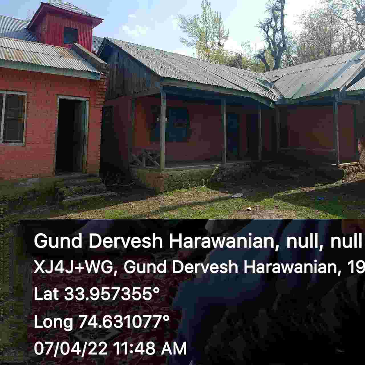
|
| 40. |
Geotagged Photo of Panchayat2 |

|
| 41. |
Uploaded Map |

|
