| Sno |
Parameters |
Information |
| 1. |
Name of Panchayat(Block & District) |
Zampathri, Keller, SHOPIAN
|
| 2. |
Number of Villages |
1
|
| 3. |
Name of Villages |
Zampathri
|
| 4. |
Sarpanch Name and Photograph |
Rukiya banoo

|
| 5. |
Sarpanch Mobile No |
7889829615
|
| 6. |
Panchs Name |
GH JEELANI GORSI,
GH. MUSTUFAH GORSI,
MOHD SHARIEF GORSI ,
AB AHAD WANI,
ALAMDIN GORSI,
SHABIR AH GORSI ,
|
| 7. |
List of govt. officials |
MOHD YOUSUF DAR,
RUKIYA BANOO,
AAMIR FAROOQ,
MUZAFER AHMAD WANI,
BHARAT SHARMA,
|
| 8. |
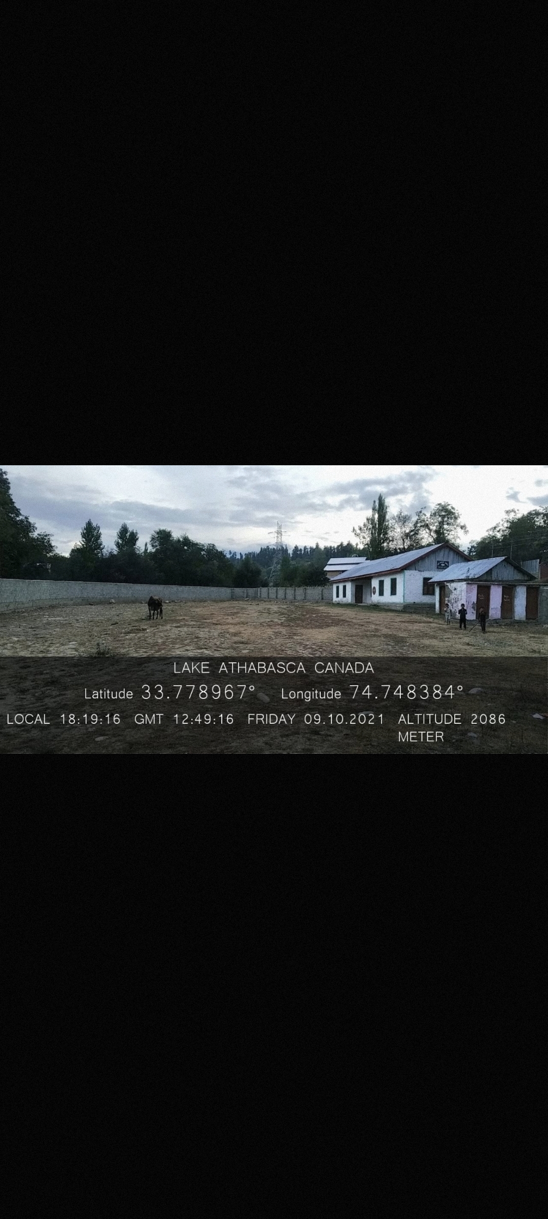
Latitude/ Longitude |
33.778967, 74.748384
|
| 9. |
Area |
145 hectares
|
| 10. |
Male (Population) |
1120
|
| 11. |
Female (Population) |
1060
|
| 12. |
Literacy rate |
40%
|
| 13. |
Map |
|
| 14. |
Topography |
Hilly
|
| 15. |
Major Water source of Irrigation |
Canals
|
| 16. |
Water related govt. Schemes |
Water tanks.
|
| 17. |
Crops |
Apples, maize.
|
| 18. |
Schools |
Primary and high schools.
|
| 19. |
Angandwadi centers |
6
|
| 20. |
Status of Electrification |
90%
|
| 21. |
Status of piped water |
80%
|
| 22. |
Name of Police station |
Keller
|
| 23. |
Health Institutions |
Govt health institutions
|
| 24. |
Animal Husbandry |
0
|
| 25. |
Livestock�s |
Cattel, sheeps, chicken.
|
| 26. |
No. of Self Help Groups |
0
|
| 27. |
Altitude above Sea Level |
2057 meters.
|
| 28. |
Veterinary |
0
|
| 29. |
Specialty Crops etc. Natural Crops
|
None
|
| 30. |
Roads Connectivity |
UNMETALLED ROAD
|
| 31. |
Prominent Tourist/ Religion places in the Panchyat |
None
|
| 32. |
Distance from Nearest Headquater |
16km
|
| 33. |
PMAY Houses Approved |
17
|
| 34. |
PMAY Houses Completed |
17
|
| 35. |
No of House Holds |
430
|
| 36. |
No of House holds with toilets |
390
|
| 37. |
Does the Panchayat has its own Panchayat ghar |
Yes
|
| 38. |
Rented/Owned |
Owned
|
| 39. |
Geotagged Photo of Panchayat |
|
| 40. |
Geotagged Photo of Panchayat2 |
|
| 41. |
Uploaded Map |
|
