| Sno |
Parameters |
Information |
| 1. |
Name of Panchayat(Block & District) |
Kathu Hallan, Keller, SHOPIAN
|
| 2. |
Number of Villages |
01
|
| 3. |
Name of Villages |
Kathu Hallan
|
| 4. |
Sarpanch Name and Photograph |
Liyaqat Hussain Katari

|
| 5. |
Sarpanch Mobile No |
6005409467
|
| 6. |
Panchs Name |
MUSHTAQ AHMAD PASWAL,
MOHD SHAFI PASWAL,
FATHA MOHD PASWAL,
ALI MOHD GANIE,
FAHMEEDA BANOO,
MOHD SHAFI BAGRAN,
|
| 7. |
List of govt. officials |
LIYAQAT HUSSAIN KATARI,
Aadil Hussain Wani,
SHAKEEL AH CHICHI,
Feroz Ahmad Najar,
Ashiq Ahmad Lone ,
|
| 8. |
Latitude/ Longitude |
33.736, 74.813
|
| 9. |
Area |
159 hectares
|
| 10. |
Male (Population) |
1091
|
| 11. |
Female (Population) |
1039
|
| 12. |
Literacy rate |
40 Percent
|
| 13. |
Map |
|
| 14. |
Topography |
Hilly Area
|
| 15. |
Major Water source of Irrigation |
Nallah Mahkund River
|
| 16. |
Water related govt. Schemes |
05
|
| 17. |
Crops |
non irrigated ones (Maize)
|
| 18. |
Schools |
Government Schools
|
| 19. |
Angandwadi centers |
02
|
| 20. |
Status of Electrification |
90 Percent
|
| 21. |
Status of piped water |
85 percent
|
| 22. |
Name of Police station |
KELLER POLICE STATION
|
| 23. |
Health Institutions |
0
|
| 24. |
Animal Husbandry |
01
|
| 25. |
Livestock�s |
0
|
| 26. |
No. of Self Help Groups |
12
|
| 27. |
Altitude above Sea Level |
0
|
| 28. |
Veterinary |
0
|
| 29. |
Specialty Crops etc. Natural Crops
|
Maize
|
| 30. |
Roads Connectivity |
Shopian to Kathu Hallan Via Zawoora
|
| 31. |
Prominent Tourist/ Religion places in the Panchyat |
2
|
| 32. |
Distance from Nearest Headquater |
12 Kilometers
|
| 33. |
PMAY Houses Approved |
30
|
| 34. |
PMAY Houses Completed |
12
|
| 35. |
No of House Holds |
398
|
| 36. |
No of House holds with toilets |
398
|
| 37. |
Does the Panchayat has its own Panchayat ghar |
Yes
|
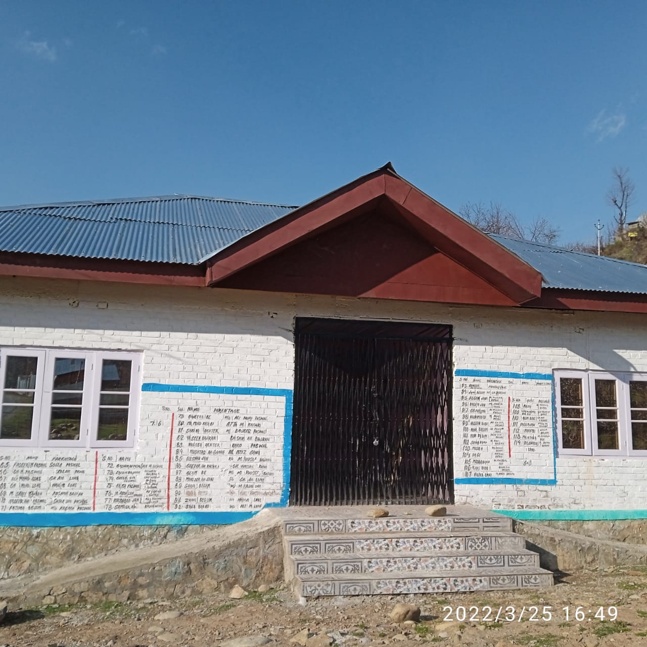
| 38. |
Rented/Owned |
Owned
|
| 39. |
Geotagged Photo of Panchayat |

|
| 40. |
Geotagged Photo of Panchayat2 |
|
| 41. |
Uploaded Map |

|
