| Sno |
Parameters |
Information |
| 1. |
Name of Panchayat(Block & District) |
Burnbugh, Kangan, GANDERBAL
|
| 2. |
Number of Villages |
2
|
| 3. |
Name of Villages |
BURNBUGH
|
| 4. |
Sarpanch Name and Photograph |
MOHD HUSSAIN PAKHTOON

|
| 5. |
Sarpanch Mobile No |
8082305620
|
| 6. |
Panchs Name |
Nazir ahmad,
DILSHADA BEGUM,
MOHD YAQOOB JAGAL,
TARIQ AH BHAT,
RAJA BEGUM,
|
| 7. |
List of govt. officials |
Nissar ahmad,
Alia,
Syed Muneer Ahmad,
Taaseen Nazir,
Mehraj din Sofi,
Danish Muzaffar,
|
| 8. |
Latitude/ Longitude |
34.288662, 74.917881
|
| 9. |
Area |
220
|
| 10. |
Male (Population) |
1351
|
| 11. |
Female (Population) |
1243
|
| 12. |
Literacy rate |
62
|
| 13. |
Map |
|
| 14. |
Topography |
HILLY
|
| 15. |
Major Water source of Irrigation |
CANALS
|
| 16. |
Water related govt. Schemes |
MICRO IRRIGATION UNDER MGNREGA, 14TH FC, SBM, CD PYTS, JAL SHAKTI
|
| 17. |
Crops |
RABI AND KHARIF
|
| 18. |
Schools |
GPS BAMLINA,GPS BARIPORA,GMS BURNBUGH
|
| 19. |
Angandwadi centers |
5
|
| 20. |
Status of Electrification |
100%
|
| 21. |
Status of piped water |
100%
|
| 22. |
Name of Police station |
PS KANGAN
|
| 23. |
Health Institutions |
HEALTH SUB CENTRE
|
| 24. |
Animal Husbandry |
NA
|
| 25. |
Livestock�s |
COWS, SHEEPS, POULTRY
|
| 26. |
No. of Self Help Groups |
NA
|
| 27. |
Altitude above Sea Level |
1810 M
|
| 28. |
Veterinary |
NA
|
| 29. |
Specialty Crops etc. Natural Crops
|
NA
|
| 30. |
Roads Connectivity |
YES
|
| 31. |
Prominent Tourist/ Religion places in the Panchyat |
NA
|
| 32. |
Distance from Nearest Headquater |
20
|
| 33. |
PMAY Houses Approved |
20
|
| 34. |
PMAY Houses Completed |
0
|
| 35. |
No of House Holds |
495
|
| 36. |
No of House holds with toilets |
495
|
| 37. |
Does the Panchayat has its own Panchayat ghar |
Yes
|
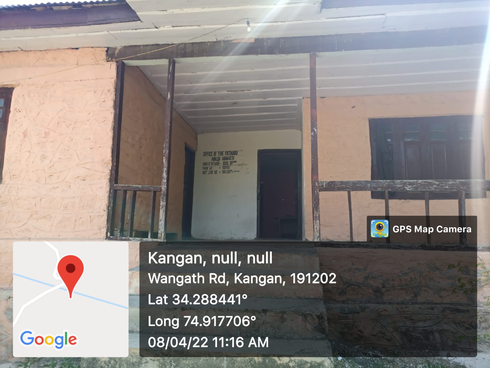
| 38. |
Rented/Owned |
Owned
|
| 39. |
Geotagged Photo of Panchayat |

|
| 40. |
Geotagged Photo of Panchayat2 |
|
| 41. |
Uploaded Map |
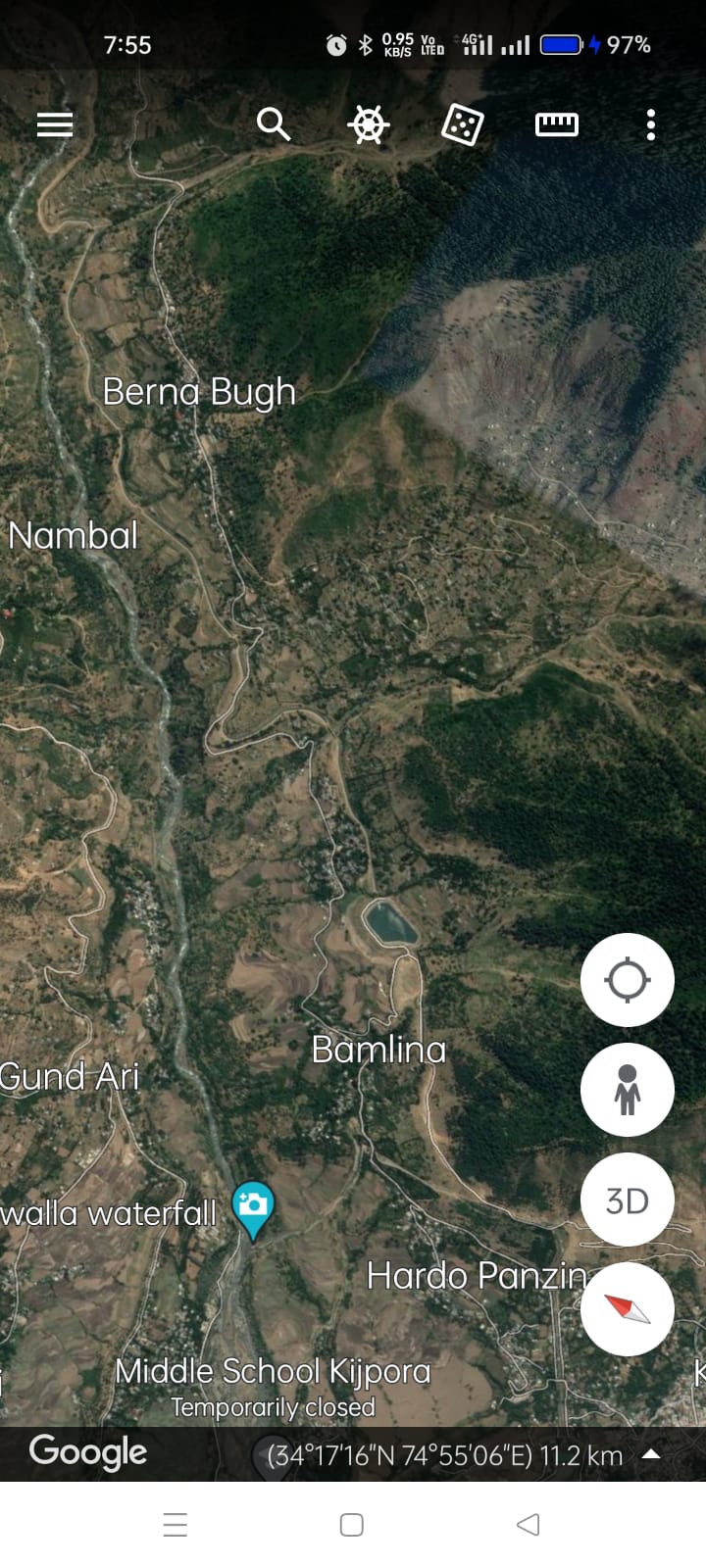
|
