| Sno |
Parameters |
Information |
| 1. |
Name of Panchayat(Block & District) |
Bun Nambal A, K.Pora, ANANTNAG
|
| 2. |
Number of Villages |
2
|
| 3. |
Name of Villages |
Bon Nambal,babgund
|
| 4. |
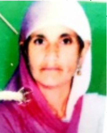
Sarpanch Name and Photograph |
Maneera Banoo W/O Nazir Ah. Bakshi
|
| 5. |
Sarpanch Mobile No |
8082769611
|
| 6. |
Panchs Name |
Mehraj-ud-din Ganie S/O Gh. Mohd,
|
| 7. |
List of govt. officials |
Qurat Ul Ain,
|
| 8. |
Latitude/ Longitude |
33.781013, 75.216413
|
| 9. |
Area |
95.5 H
|
| 10. |
Male (Population) |
1404
|
| 11. |
Female (Population) |
1102
|
| 12. |
Literacy rate |
NA
|
| 13. |
Map |
|
| 14. |
Topography |
Plain
|
| 15. |
Major Water source of Irrigation |
River Lidder
|
| 16. |
Water related govt. Schemes |
NA
|
| 17. |
Crops |
Rabi and Kharif
|
| 18. |
Schools |
Government
|
| 19. |
Angandwadi centers |
5
|
| 20. |
Status of Electrification |
Satisfactory
|
| 21. |
Status of piped water |
Satisfactory
|
| 22. |
Name of Police station |
Mattan
|
| 23. |
Health Institutions |
Nil
|
| 24. |
Animal Husbandry |
NA
|
| 25. |
Livestock�s |
NA
|
| 26. |
No. of Self Help Groups |
NA
|
| 27. |
Altitude above Sea Level |
NA
|
| 28. |
Veterinary |
NA
|
| 29. |
Specialty Crops etc. Natural Crops
|
Rabi and Kharif
|
| 30. |
Roads Connectivity |
Satisfactory
|
| 31. |
Prominent Tourist/ Religion places in the Panchyat |
NA
|
| 32. |
Distance from Nearest Headquater |
12
|
| 33. |
PMAY Houses Approved |
3
|
| 34. |
PMAY Houses Completed |
None
|
| 35. |
No of House Holds |
456
|
| 36. |
No of House holds with toilets |
456
|
| 37. |
Does the Panchayat has its own Panchayat ghar |
Yes
|
| 38. |
Rented/Owned |
Owned
|
| 39. |
Geotagged Photo of Panchayat |

|
| 40. |
Geotagged Photo of Panchayat2 |
|
| 41. |
Uploaded Map |
|
