| Sno |
Parameters |
Information |
| 1. |
Name of Panchayat(Block & District) |
Gara, Hiranagar, Kathua
|
| 2. |
Number of Villages |
02
|
| 3. |
Name of Villages |
GARA and SAIDA
|
| 4. |
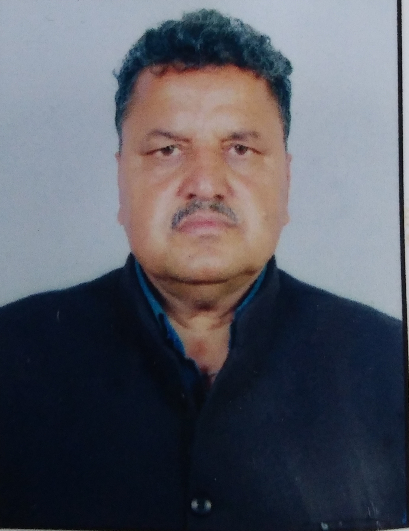
Sarpanch Name and Photograph |
ASHWANI KUMAR
|
| 5. |
Sarpanch Mobile No |
9419785417
|
| 6. |
Panchs Name |
ASHWANI KUMAR (SARPANCH) ,
YASH PAUL SHARMA,
ARTI DEVI,
MOHD FARID,
ROMESH CHANDER,
KEWAL KRISHAN,
SANJAY KUMAR,
RAJ KARNI,
|
| 7. |
List of govt. officials |
AMIR AMIN BHAT,
RAMAN KUMAR,
RAMESHWAR SUDAN,
SANJEEV KUMAR,
|
| 8. |
Latitude/ Longitude |
32.54323, 75.289285
|
| 9. |
Area |
662
|
| 10. |
Male (Population) |
1040
|
| 11. |
Female (Population) |
934
|
| 12. |
Literacy rate |
71
|
| 13. |
Map |
|
| 14. |
Topography |
Hilly and khad
|
| 15. |
Major Water source of Irrigation |
Canal and rain water harvesting
|
| 16. |
Water related govt. Schemes |
Yes
|
| 17. |
Crops |
Wheat and maize
|
| 18. |
Schools |
Yes,
|
| 19. |
Angandwadi centers |
04
|
| 20. |
Status of Electrification |
Yes, (80%)
|
| 21. |
Status of piped water |
YES, (90%)
|
| 22. |
Name of Police station |
Hiranagar police station
|
| 23. |
Health Institutions |
Yes
|
| 24. |
Animal Husbandry |
01
|
| 25. |
Livestock�s |
Cow, Buffalo, sheep and goat
|
| 26. |
No. of Self Help Groups |
Nill
|
| 27. |
Altitude above Sea Level |
393mt
|
| 28. |
Veterinary |
Nill
|
| 29. |
Specialty Crops etc. Natural Crops
|
Wheat
|
| 30. |
Roads Connectivity |
75%
|
| 31. |
Prominent Tourist/ Religion places in the Panchyat |
SAJOTI MANDIR
|
| 32. |
Distance from Nearest Headquater |
36
|
| 33. |
PMAY Houses Approved |
71
|
| 34. |
PMAY Houses Completed |
52
|
| 35. |
No of House Holds |
424
|
| 36. |
No of House holds with toilets |
353
|
| 37. |
Does the Panchayat has its own Panchayat ghar |
No
|
| 38. |
Rented/Owned |
Rented
|
| 39. |
Geotagged Photo of Panchayat |

|
| 40. |
Geotagged Photo of Panchayat2 |
|
| 41. |
Uploaded Map |

|
