| Sno |
Parameters |
Information |
| 1. |
Name of Panchayat(Block & District) |
Changoo, Hiller Shahabad, ANANTNAG
|
| 2. |
Number of Villages |
8
|
| 3. |
Name of Villages |
Badermuna, Changoo, Bemdal , Mataygund , Fatroo , Wawtharroo , Kralmad, Mukdampora
|
| 4. |
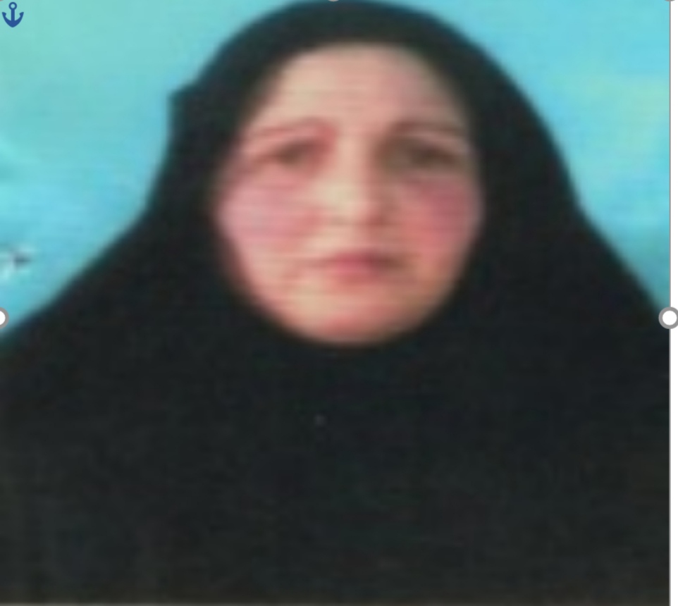
Sarpanch Name and Photograph |
Shugufta Parveen
|
| 5. |
Sarpanch Mobile No |
7006077599
|
| 6. |
Panchs Name |
Mohd Yousuf Bhat,
Fayaz Ahmad Wani,
Akhter Hussain Mir,
Tanveera Banu,
Mehjabeena Banoo,
Ali Mohd Mir,
|
| 7. |
List of govt. officials |
Haamid Jalil Bhat,
Mohd Shafi Shah,
|
| 8. |
Latitude/ Longitude |
33.559844, 75.205839
|
| 9. |
Area |
123 hectares, 130 irrigated area and 95 hectares cropped area
|
| 10. |
Male (Population) |
1185
|
| 11. |
Female (Population) |
1089
|
| 12. |
Literacy rate |
56.8%
|
| 13. |
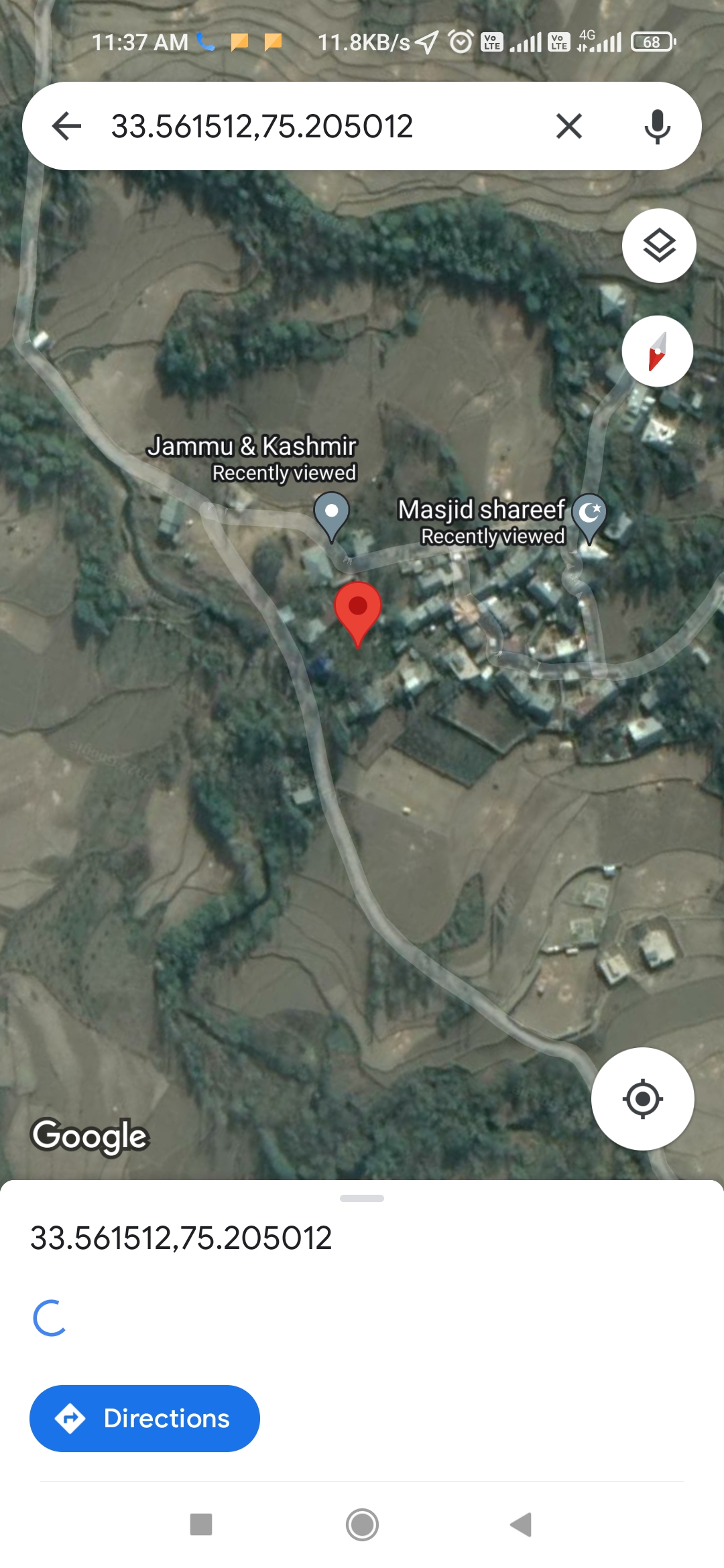
Map |
|
| 14. |
Topography |
Plain terrain
|
| 15. |
Major Water source of Irrigation |
Verinag spring, Khahgund Spring
|
| 16. |
Water related govt. Schemes |
Nil
|
| 17. |
Crops |
Rice, Maize, mustard
|
| 18. |
Schools |
Govt Middle School Changoo,
govt Primary school bemdal,
Govt Primary School Mokdampora,
Govt Middle school Badermuna,
Primary School Badermuna
|
| 19. |
Angandwadi centers |
4
|
| 20. |
Status of Electrification |
99% electrified
|
| 21. |
Status of piped water |
98% Pipe water
|
| 22. |
Name of Police station |
PS Dooru
|
| 23. |
Health Institutions |
Dispensary
|
| 24. |
Animal Husbandry |
0
|
| 25. |
Livestock�s |
0
|
| 26. |
No. of Self Help Groups |
1
|
| 27. |
Altitude above Sea Level |
1800m
|
| 28. |
Veterinary |
0
|
| 29. |
Specialty Crops etc. Natural Crops
|
Walnut
|
| 30. |
Roads Connectivity |
90%
|
| 31. |
Prominent Tourist/ Religion places in the Panchyat |
Ziyarat e Sharif Simnani Badermuna
|
| 32. |
Distance from Nearest Headquater |
25
|
| 33. |
PMAY Houses Approved |
15
|
| 34. |
PMAY Houses Completed |
4
|
| 35. |
No of House Holds |
294
|
| 36. |
No of House holds with toilets |
294
|
| 37. |
Does the Panchayat has its own Panchayat ghar |
Yes
|
| 38. |
Rented/Owned |
Owned
|
| 39. |
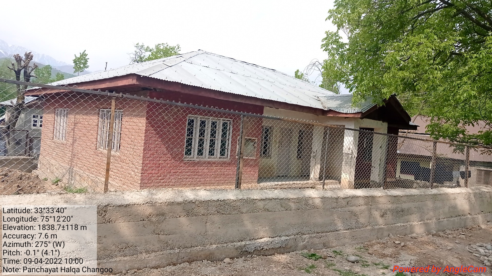
Geotagged Photo of Panchayat |

|
| 40. |
Geotagged Photo of Panchayat2 |
|
| 41. |
Uploaded Map |
|
