| Sno |
Parameters |
Information |
| 1. |
Name of Panchayat(Block & District) |
Gundi Gagarsula, Gundi Dharam, Ramban
|
| 2. |
Number of Villages |
1
|
| 3. |
Name of Villages |
GUNDI
|
| 4. |
Sarpanch Name and Photograph |
ATTA MOHD SHAH

|
| 5. |
Sarpanch Mobile No |
9149973925
|
| 6. |
Panchs Name |
GHULAM MUSTAFFA SHAH ,
TAHIRA BEGUM,
GHULAM QADIR ,
MUSHTAQ AHMED ,
KAILASHA DEVI,
MOHD LATIEF,
RAYEES AHMED,
|
| 7. |
List of govt. officials |
Feroz Abdullah,
Ghulam Nabi Pachoo,
Mudassir ,
Ishtiaq Hussain,
|
| 8. |
Latitude/ Longitude |
33.2420n, 75.0903.E
|
| 9. |
Area |
40.8 SQKM
|
| 10. |
Male (Population) |
1754
|
| 11. |
Female (Population) |
1582
|
| 12. |
Literacy rate |
54.84 %
|
| 13. |
Map |
|
| 14. |
Topography |
Hilly Areas
|
| 15. |
Major Water source of Irrigation |
Rain Water
|
| 16. |
Water related govt. Schemes |
NA
|
| 17. |
Crops |
1. Wheat 2. Maize 3. Rice/Paddy
|
| 18. |
Schools |
YES
|
| 19. |
Angandwadi centers |
6
|
| 20. |
Status of Electrification |
80 %
|
| 21. |
Status of piped water |
60 %
|
| 22. |
Name of Police station |
GOOL
|
| 23. |
Health Institutions |
YES
|
| 24. |
Animal Husbandry |
NO
|
| 25. |
Livestock�s |
Cattles, sheeps, Goats, Cows, Buffallo, Mule
|
| 26. |
No. of Self Help Groups |
1
|
| 27. |
Altitude above Sea Level |
670
|
| 28. |
Veterinary |
NO
|
| 29. |
Specialty Crops etc. Natural Crops
|
Maize
|
| 30. |
Roads Connectivity |
YES
|
| 31. |
Prominent Tourist/ Religion places in the Panchyat |
Jamia Masjid Sharief Gundi Gagrsulla
|
| 32. |
Distance from Nearest Headquater |
62 KM
|
| 33. |
PMAY Houses Approved |
479
|
| 34. |
PMAY Houses Completed |
323
|
| 35. |
No of House Holds |
682
|
| 36. |
No of House holds with toilets |
NA
|
| 37. |
Does the Panchayat has its own Panchayat ghar |
Yes
|
| 38. |
Rented/Owned |
Owned
|
| 39. |
Geotagged Photo of Panchayat |
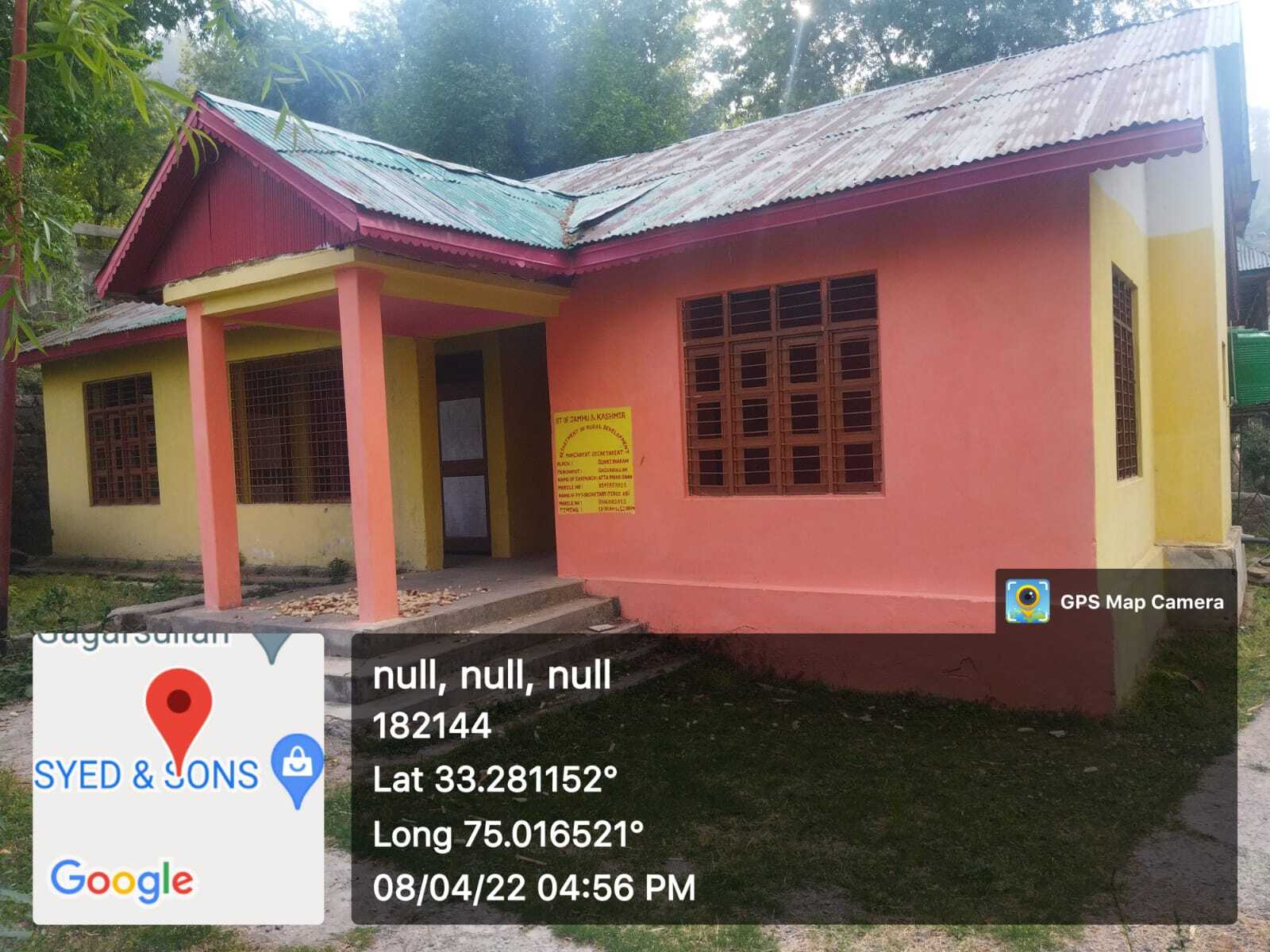
|
| 40. |
Geotagged Photo of Panchayat2 |

|
| 41. |
Uploaded Map |

|
