| Sno |
Parameters |
Information |
| 1. |
Name of Panchayat(Block & District) |
Fraw Haknar-B, Gund, GANDERBAL
|
| 2. |
Number of Villages |
1
|
| 3. |
Name of Villages |
Haknar
|
| 4. |
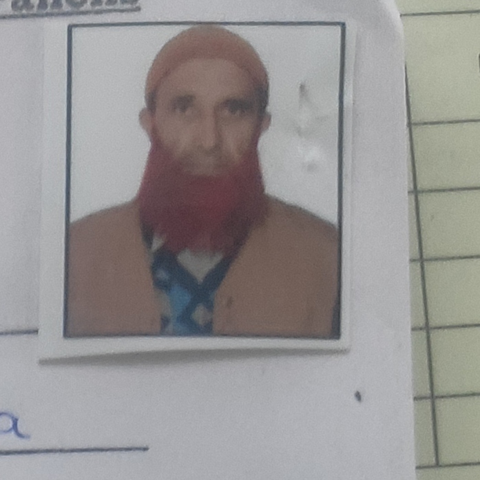
Sarpanch Name and Photograph |
Ab Rashid kasana
|
| 5. |
Sarpanch Mobile No |
919541830025
|
| 6. |
Panchs Name |
BUTIYA PASWAL,
Mutwali famda,
HANEEFA BANO,
KABEERA BEGUM,
Lateef Ahmad Famda,
FAREED AHMAD BIJRAN,
Ab RASHID LONE,
|
| 7. |
List of govt. officials |
IRSHAD AHMAD KASANA,
Mohd Iqbal Raina,
Ishtiyaq Ahmad parray,
Farooq Ahamd,
|
| 8. |
Latitude/ Longitude |
34.25 N , 75.08 E
|
| 9. |
Area |
2.4 sqkm
|
| 10. |
Male (Population) |
1302
|
| 11. |
Female (Population) |
1225
|
| 12. |
Literacy rate |
59%
|
| 13. |
Map |
|
| 14. |
Topography |
Hilly
|
| 15. |
Major Water source of Irrigation |
Canal water, sindh nalah
|
| 16. |
Water related govt. Schemes |
Nil
|
| 17. |
Crops |
Maize
|
| 18. |
Schools |
Govt ms haknar
Govt ps Famda pati
Gps awanpati
|
| 19. |
Angandwadi centers |
4
|
| 20. |
Status of Electrification |
Close to 100%
|
| 21. |
Status of piped water |
100%
|
| 22. |
Name of Police station |
Police station Gund
|
| 23. |
Health Institutions |
Nil
|
| 24. |
Animal Husbandry |
No
|
| 25. |
Livestock�s |
Yes
|
| 26. |
No. of Self Help Groups |
3
|
| 27. |
Altitude above Sea Level |
2060
|
| 28. |
Veterinary |
No
|
| 29. |
Specialty Crops etc. Natural Crops
|
Maize
|
| 30. |
Roads Connectivity |
Yes
|
| 31. |
Prominent Tourist/ Religion places in the Panchyat |
Nil
|
| 32. |
Distance from Nearest Headquater |
40 kms
|
| 33. |
PMAY Houses Approved |
|
| 34. |
PMAY Houses Completed |
|
| 35. |
No of House Holds |
|
| 36. |
No of House holds with toilets |
|
| 37. |
Does the Panchayat has its own Panchayat ghar |
|
| 38. |
Rented/Owned |
|
| 39. |
Geotagged Photo of Panchayat |

|
| 40. |
Geotagged Photo of Panchayat2 |
|
| 41. |
Uploaded Map |
|
