| Sno |
Parameters |
Information |
| 1. |
Name of Panchayat(Block & District) |
Shahabad, Dadsara, PULWAMA
|
| 2. |
Number of Villages |
4
|
| 3. |
Name of Villages |
Khankah, shahabad Bala, shahabad payeen,Gorikadal
|
| 4. |
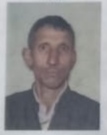
Sarpanch Name and Photograph |
Gh Hassan Mohand
|
| 5. |
Sarpanch Mobile No |
6005345860
|
| 6. |
Panchs Name |
Gh Mohd Bhat,
,
,
Gh Hassan Mohand,
Zareena Begum,
,
|
| 7. |
List of govt. officials |
Gh Hassan Mohand,
Nadeem shameem ,
Arshid Ahmad shah,
Shaista akram,
Showkat Ahmad Bhat,
Mohd amin lone,
Farooq Ahmad Malik,
Mumtaza akhtar ,
AASHIQ HUSSAIN NAIK,
|
| 8. |
Latitude/ Longitude |
32408, 66342
|
| 9. |
Area |
145sqm
|
| 10. |
Male (Population) |
1222
|
| 11. |
Female (Population) |
1125
|
| 12. |
Literacy rate |
68percent
|
| 13. |
Map |
|
| 14. |
Topography |
Plain and hilly
|
| 15. |
Major Water source of Irrigation |
Canal water
|
| 16. |
Water related govt. Schemes |
Har ghar jhal
|
| 17. |
Crops |
Rice,Maize
|
| 18. |
Schools |
Yes
|
| 19. |
Angandwadi centers |
12
|
| 20. |
Status of Electrification |
💯
|
| 21. |
Status of piped water |
40 percent
|
| 22. |
Name of Police station |
Awantipora
|
| 23. |
Health Institutions |
NA
|
| 24. |
Animal Husbandry |
Nil
|
| 25. |
Livestock�s |
Yes
|
| 26. |
No. of Self Help Groups |
Nil
|
| 27. |
Altitude above Sea Level |
1500
|
| 28. |
Veterinary |
Nil
|
| 29. |
Specialty Crops etc. Natural Crops
|
Maize,apple
|
| 30. |
Roads Connectivity |
Yes
|
| 31. |
Prominent Tourist/ Religion places in the Panchyat |
Nil
|
| 32. |
Distance from Nearest Headquater |
36 kms
|
| 33. |
PMAY Houses Approved |
4
|
| 34. |
PMAY Houses Completed |
0
|
| 35. |
No of House Holds |
853
|
| 36. |
No of House holds with toilets |
802
|
| 37. |
Does the Panchayat has its own Panchayat ghar |
No
|
| 38. |
Rented/Owned |
|
| 39. |
Geotagged Photo of Panchayat |
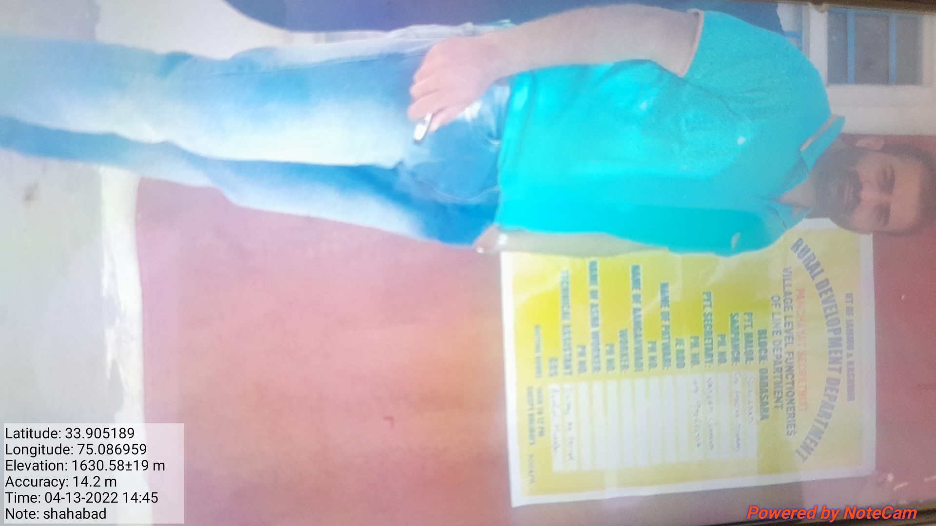
|
| 40. |
Geotagged Photo of Panchayat2 |

|
| 41. |
Uploaded Map |
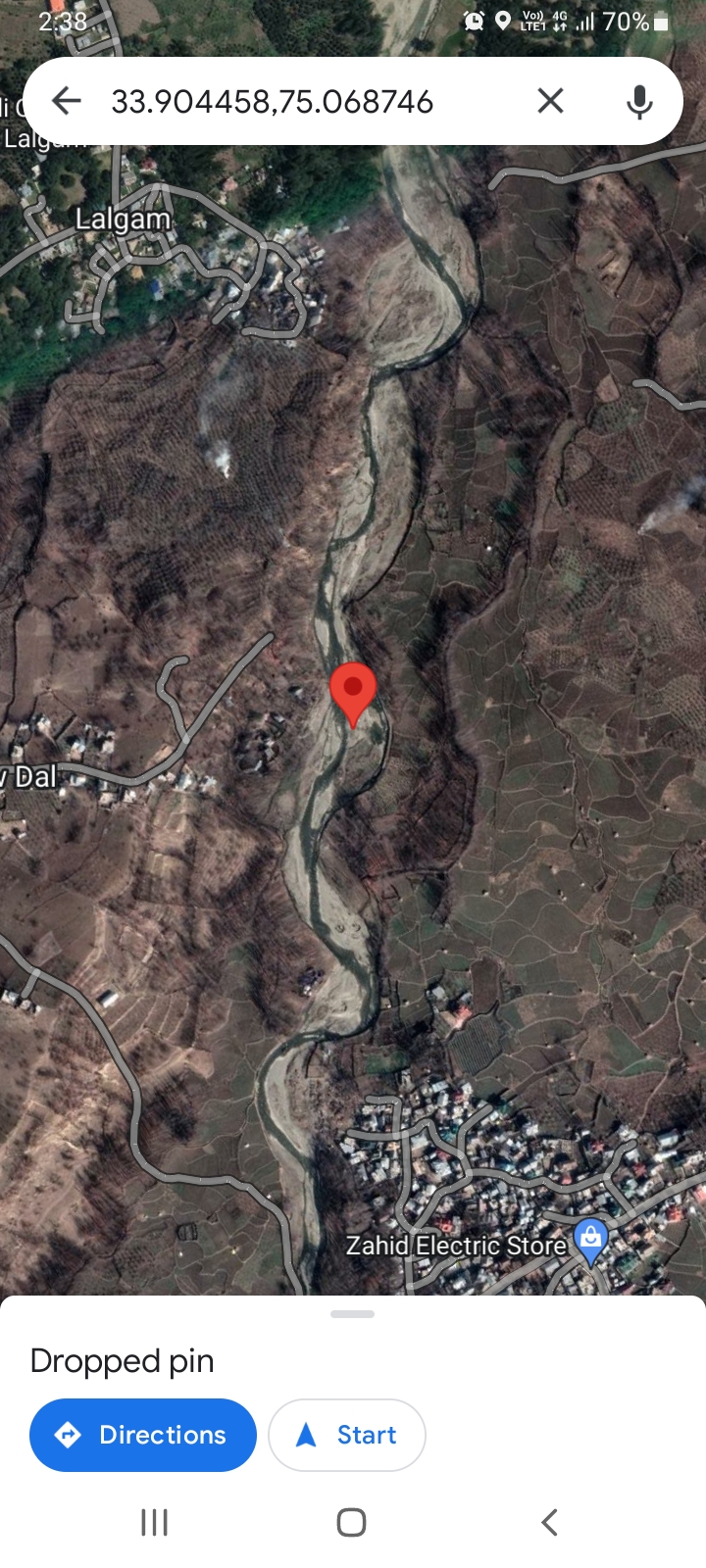
|
