| Sno |
Parameters |
Information |
| 1. |
Name of Panchayat(Block & District) |
Juthal Balsro, Chowki Choura, JAMMU
|
| 2. |
Number of Villages |
4
|
| 3. |
Name of Villages |
Chowki saloie juthal balsro gour bajourian
|
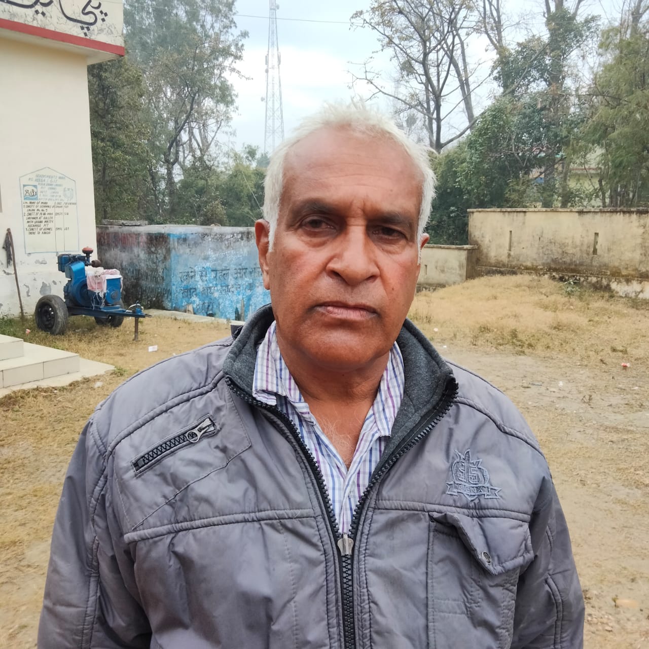
| 4. |
Sarpanch Name and Photograph |
Baldev Raj
|
| 5. |
Sarpanch Mobile No |
9858567392
|
| 6. |
Panchs Name |
Rakesh Kumar,
Shoba devi,
Rajkumar,
Sunil Kumar,
Rimpy devi,
Joginder pal,
Ram lal,
|
| 7. |
List of govt. officials |
Harish Chander Singh,
Atul Sharma,
|
| 8. |
Latitude/ Longitude |
333,0.5832, 74394.5216
|
| 9. |
Area |
14.81sq.m
|
| 10. |
Male (Population) |
2085
|
| 11. |
Female (Population) |
1080
|
| 12. |
Literacy rate |
30 percent
|
| 13. |
Map |
|
| 14. |
Topography |
Hilly
|
| 15. |
Major Water source of Irrigation |
Tube wells Tawi
|
| 16. |
Water related govt. Schemes |
PHE jal shakti
|
| 17. |
Crops |
Wheat and maize
|
| 18. |
Schools |
Middle school and primary school
|
| 19. |
Angandwadi centers |
6
|
| 20. |
Status of Electrification |
100percentage
|
| 21. |
Status of piped water |
90 percent
|
| 22. |
Name of Police station |
Chowki choura
|
| 23. |
Health Institutions |
Nil
|
| 24. |
Animal Husbandry |
Nil
|
| 25. |
Livestock�s |
Yes
|
| 26. |
No. of Self Help Groups |
3
|
| 27. |
Altitude above Sea Level |
5000m
|
| 28. |
Veterinary |
Nil
|
| 29. |
Specialty Crops etc. Natural Crops
|
Nil
|
| 30. |
Roads Connectivity |
30 percent
|
| 31. |
Prominent Tourist/ Religion places in the Panchyat |
Devta kurrara mayari tawi
|
| 32. |
Distance from Nearest Headquater |
65km
|
| 33. |
PMAY Houses Approved |
6
|
| 34. |
PMAY Houses Completed |
6
|
| 35. |
No of House Holds |
121
|
| 36. |
No of House holds with toilets |
121
|
| 37. |
Does the Panchayat has its own Panchayat ghar |
Yes
|
| 38. |
Rented/Owned |
Owned
|
| 39. |
Geotagged Photo of Panchayat |

|
| 40. |
Geotagged Photo of Panchayat2 |
|
| 41. |
Uploaded Map |
|
