| Sno |
Parameters |
Information |
| 1. |
Name of Panchayat(Block & District) |
Choon, Budgam, BUDGAM
|
| 2. |
Number of Villages |
3
|
| 3. |
Name of Villages |
Choon, Ratnipora, khurahama
|
| 4. |
Sarpanch Name and Photograph |
Aijaz Ahmad Dar

|
| 5. |
Sarpanch Mobile No |
9419009702
|
| 6. |
Panchs Name |
Mohd. Maqbool Rather,
Ghulam Mohmad Bhat,
Mubeena Bano,
Manzoor Ahmad Budoo,
Shafeeqa Akhter,
Ghulam Mohiuddin Ganie,
Gulzar Ahmad Budoo,
|
| 7. |
List of govt. officials |
Bashir Ahmad,
Shafiq ul Aijaz,
Shahnawaz Ahmad dar,
Arshid Ahmad Dar,
|
| 8. |
Latitude/ Longitude |
33.9866° N, 74.7315° E
|
| 9. |
Area |
18 square meter
|
| 10. |
Male (Population) |
1669
|
| 11. |
Female (Population) |
1610
|
| 12. |
Literacy rate |
50
|
| 13. |
Map |
|
| 14. |
Topography |
Hilly
|
| 15. |
Major Water source of Irrigation |
Canal system
|
| 16. |
Water related govt. Schemes |
MGNREGA
|
| 17. |
Crops |
Wheat, Rice, Apples, walnuts etc
|
| 18. |
Schools |
Yes
|
| 19. |
Angandwadi centers |
Yes
|
| 20. |
Status of Electrification |
Yes
|
| 21. |
Status of piped water |
Yes
|
| 22. |
Name of Police station |
Budgam police station
|
| 23. |
Health Institutions |
Primary health center
|
| 24. |
Animal Husbandry |
1
|
| 25. |
Livestock�s |
1000
|
| 26. |
No. of Self Help Groups |
10
|
| 27. |
Altitude above Sea Level |
1660 meter square
|
| 28. |
Veterinary |
1
|
| 29. |
Specialty Crops etc. Natural Crops
|
Apples
|
| 30. |
Roads Connectivity |
Pakka roads
|
| 31. |
Prominent Tourist/ Religion places in the Panchyat |
Shah gofoor and Syed yaqoob kirmani
|
| 32. |
Distance from Nearest Headquater |
4km
|
| 33. |
PMAY Houses Approved |
14
|
| 34. |
PMAY Houses Completed |
Nil
|
| 35. |
No of House Holds |
600
|
| 36. |
No of House holds with toilets |
All
|
| 37. |
Does the Panchayat has its own Panchayat ghar |
Yes
|
| 38. |
Rented/Owned |
Owned
|
| 39. |
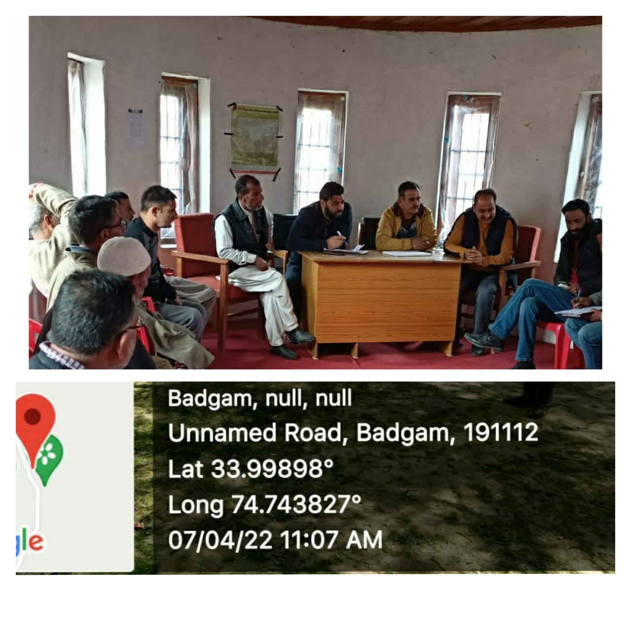
Geotagged Photo of Panchayat |

|
| 40. |
Geotagged Photo of Panchayat2 |
|
| 41. |
Uploaded Map |
|
