
Panchayat Details
General Profile
| Sno | Parameters | Information |
|---|---|---|
| 1. | Name of Panchayat(Block & District) | Dradhu, Bhaderwah, Doda |
| 2. | Number of Villages | 4 |
| 3. | Name of Villages | Dradhu Dranga Chunna Janana |
| 4. | Sarpanch Name and Photograph | Ashok Kumar 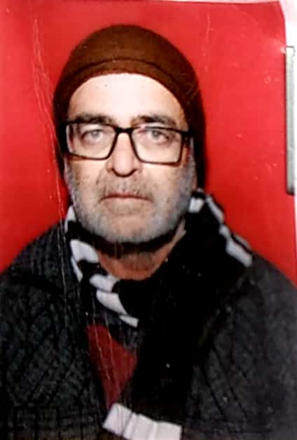
|
| 5. | Sarpanch Mobile No | 9906396112 |
| 6. | Panchs Name | RAM RATTAN S/O TARA CHAND, NIRMALA DEVI W/O KRISHAN LAL, KEWAL KRISHAN S/O RAGHUBIR SINGH, RAJINDER KUMAR S/O KASHMIR SINGH, MAYA DEVI W/O CHARANJEET SINGH, BALKRISHAN S/O JAMEET RAM, MULAK RAJ S/O MOTI LAL, |
| 7. | List of govt. officials | DR. SHAMI KUMAR, |
| 8. | Latitude/ Longitude | 33.01594, 75.67197 |
| 9. | Area | 374.7 Hecter |
| 10. | Male (Population) | 778 |
| 11. | Female (Population) | 763 |
| 12. | Literacy rate | 95% |
| 13. | Map | |
| 14. | Topography | Hilly |
| 15. | Major Water source of Irrigation | Rain Water |
| 16. | Water related govt. Schemes | JAl Shakti |
| 17. | Crops | Maize, Wheat, Paddy |
| 18. | Schools | govt Schools |
| 19. | Angandwadi centers | 5 |
| 20. | Status of Electrification | 100% |
| 21. | Status of piped water | 50% |
| 22. | Name of Police station | PS Bhaderwah |
| 23. | Health Institutions | PHC |
| 24. | Animal Husbandry | 1 |
| 25. | Livestock�s | Cow, Goat, Sheep |
| 26. | No. of Self Help Groups | 15 |
| 27. | Altitude above Sea Level | NA |
| 28. | Veterinary | 1 |
| 29. | Specialty Crops etc. Natural Crops | Lavender |
| 30. | Roads Connectivity | 70% |
| 31. | Prominent Tourist/ Religion places in the Panchyat | NA |
| 32. | Distance from Nearest Headquater | 25 KM |
| 33. | PMAY Houses Approved | 31 |
| 34. | PMAY Houses Completed | 17 |
| 35. | No of House Holds | 311 |
| 36. | No of House holds with toilets | 292 |
| 37. | Does the Panchayat has its own Panchayat ghar | Yes |
| 38. | Rented/Owned | Owned |
| 39. | Geotagged Photo of Panchayat | |
| 40. | Geotagged Photo of Panchayat2 | |
| 41. | Uploaded Map | 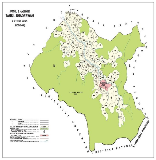
|