| Sno |
Parameters |
Information |
| 1. |
Name of Panchayat(Block & District) |
Nursingpora, Beerwah, BUDGAM
|
| 2. |
Number of Villages |
3
|
| 3. |
Name of Villages |
Kalipora
Nursingpora
Nassu
|
| 4. |
Sarpanch Name and Photograph |
Fayaz Ah Gazi

|
| 5. |
Sarpanch Mobile No |
7006604818
|
| 6. |
Panchs Name |
Abdul Samad Bhat,
Mudasir Hussain Mir,
Abdul Rashid Gazi,
Zainab Jan,
Gulam Mohiuddin Khan,
Mohammad Yaseen Mir,
Mudasir Hussain,
Gh Mohiuidin khan,
Mohd waseem mir,
Zaina bano,
Ab Rashid Gazi,
Ab Samad Bhat,
|
| 7. |
List of govt. officials |
Anayatullah Haydier,
Mohd Shafi Shah,
|
| 8. |
Latitude/ Longitude |
34.006137, 74.554256
|
| 9. |
Area |
220.97 hecters
|
| 10. |
Male (Population) |
1670
|
| 11. |
Female (Population) |
1398
|
| 12. |
Literacy rate |
31%
|
| 13. |
Map |
|
| 14. |
Topography |
Hilly Topography
|
| 15. |
Major Water source of Irrigation |
Cannels and streams
|
| 16. |
Water related govt. Schemes |
Nill
|
| 17. |
Crops |
Both Khraif and Rabi crops are grown
|
| 18. |
Schools |
Govt middle school Nursingpora
Govt pry school Harkarpora
Govt middle school Nasso
Govt pry school Nasoo
Govt middle school kalipora
|
| 19. |
Angandwadi centers |
6
|
| 20. |
Status of Electrification |
100%
|
| 21. |
Status of piped water |
70% water is supplied trough pipes
|
| 22. |
Name of Police station |
Police Station Khag
|
| 23. |
Health Institutions |
Nill
|
| 24. |
Animal Husbandry |
Nill
|
| 25. |
Livestock�s |
1500
|
| 26. |
No. of Self Help Groups |
6
|
| 27. |
Altitude above Sea Level |
1598m
|
| 28. |
Veterinary |
Nill
|
| 29. |
Specialty Crops etc. Natural Crops
|
Wallnuts and apple
|
| 30. |
Roads Connectivity |
80%
|
| 31. |
Prominent Tourist/ Religion places in the Panchyat |
Nill
|
| 32. |
Distance from Nearest Headquater |
29km
|
| 33. |
PMAY Houses Approved |
Nill
|
| 34. |
PMAY Houses Completed |
Nill
|
| 35. |
No of House Holds |
450
|
| 36. |
No of House holds with toilets |
390
|
| 37. |
Does the Panchayat has its own Panchayat ghar |
Yes
|
| 38. |
Rented/Owned |
Owned
|
| 39. |
Geotagged Photo of Panchayat |
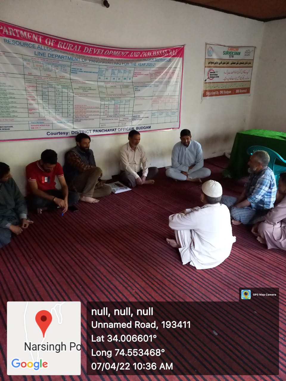
|
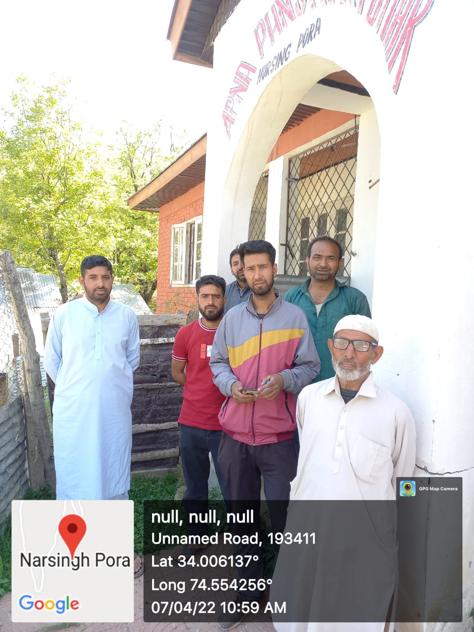
| 40. |
Geotagged Photo of Panchayat2 |
|
| 41. |
Uploaded Map |

|
