| Sno |
Parameters |
Information |
| 1. |
Name of Panchayat(Block & District) |
Kanigund, Beerwah, BUDGAM
|
| 2. |
Number of Villages |
2
|
| 3. |
Name of Villages |
KANIGUND
PAKHERPURA
|
| 4. |
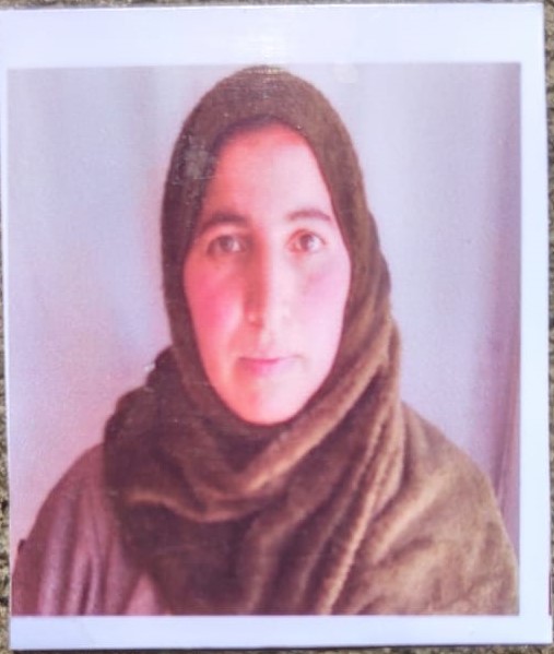
Sarpanch Name and Photograph |
ZAMROODA BANO
|
| 5. |
Sarpanch Mobile No |
6005416675
|
| 6. |
Panchs Name |
Mohammad Akbar Rather,
Gulshan Bano,
Mohd Abdulla Rather,
Shabbir Ahamd parray,
Owais Ashraf Rather,
|
| 7. |
List of govt. officials |
Bashir Ahmad Mir,
Syed Ishfaq syed ,
MOHD AMIN BHAT,
|
| 8. |
Latitude/ Longitude |
33.995659, 74.571225
|
| 9. |
Area |
54.16 HECTARES
|
| 10. |
Male (Population) |
340
|
| 11. |
Female (Population) |
295
|
| 12. |
Literacy rate |
60
|
| 13. |
Map |
|
| 14. |
Topography |
HILLY
|
| 15. |
Major Water source of Irrigation |
STREAM AND KHUL
|
| 16. |
Water related govt. Schemes |
STREAM AND SPRINGS
|
| 17. |
Crops |
RICE
|
| 18. |
Schools |
GOVT MIDDLE SCHOOL KANIGUND
GOVT MIDDLE SCHOOL PAKHERPURA
|
| 19. |
Angandwadi centers |
NIL
|
| 20. |
Status of Electrification |
ELECTRIFIED
|
| 21. |
Status of piped water |
AVAILABLE PARTLY
|
| 22. |
Name of Police station |
POLICE STATION BEERWA
|
| 23. |
Health Institutions |
NA
|
| 24. |
Animal Husbandry |
NA
|
| 25. |
Livestock�s |
200
|
| 26. |
No. of Self Help Groups |
NIL
|
| 27. |
Altitude above Sea Level |
1852 METRES
|
| 28. |
Veterinary |
NA
|
| 29. |
Specialty Crops etc. Natural Crops
|
NIL
|
| 30. |
Roads Connectivity |
CONNECTED WITH PACCA ROAD TO BEERWAH ARIZAL ROAD
|
| 31. |
Prominent Tourist/ Religion places in the Panchyat |
TWO LOCAL SHRINES
|
| 32. |
Distance from Nearest Headquater |
25 KMS
|
| 33. |
PMAY Houses Approved |
NA
|
| 34. |
PMAY Houses Completed |
NA
|
| 35. |
No of House Holds |
127
|
| 36. |
No of House holds with toilets |
80
|
| 37. |
Does the Panchayat has its own Panchayat ghar |
Yes
|
| 38. |
Rented/Owned |
Owned
|
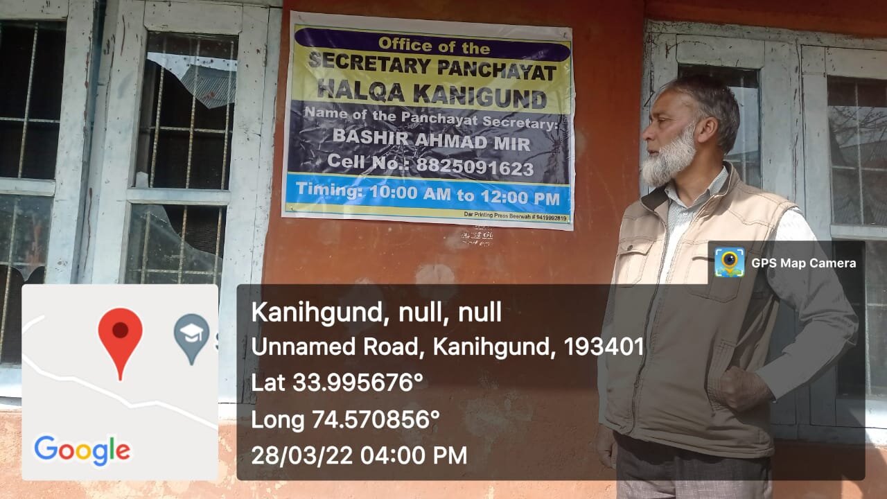
| 39. |
Geotagged Photo of Panchayat |
|
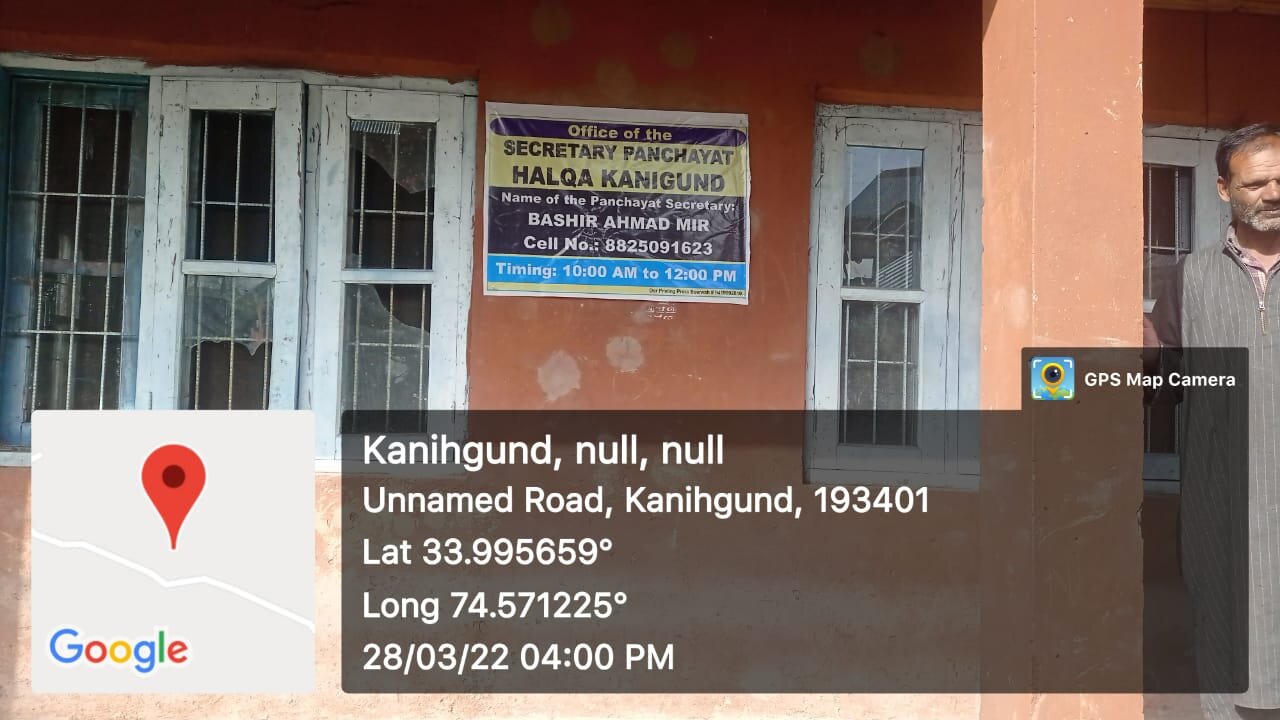
| 40. |
Geotagged Photo of Panchayat2 |
|
| 41. |
Uploaded Map |

|
