| Sno |
Parameters |
Information |
| 1. |
Name of Panchayat(Block & District) |
Charangam, Beerwah, BUDGAM
|
| 2. |
Number of Villages |
1
|
| 3. |
Name of Villages |
Charangam
|
| 4. |
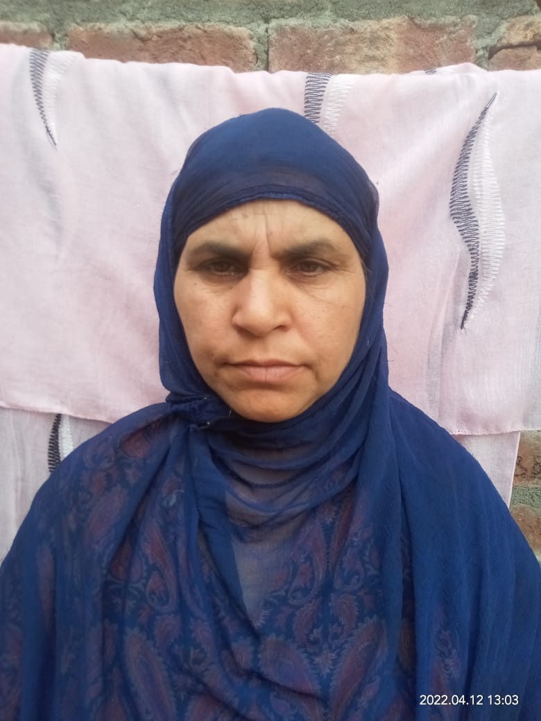
Sarpanch Name and Photograph |
Fareeda begum
|
| 5. |
Sarpanch Mobile No |
9596547169
|
| 6. |
Panchs Name |
Nil,
Nil,
|
| 7. |
List of govt. officials |
Noor Mohammad sheikh,
|
| 8. |
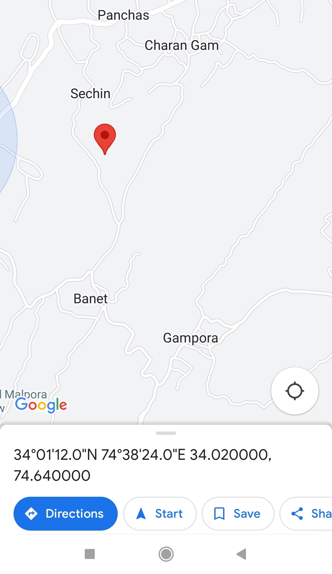
Latitude/ Longitude |
34.02, 74.64
|
| 9. |
Area |
100.4 hectares
|
| 10. |
Male (Population) |
980
|
| 11. |
Female (Population) |
620
|
| 12. |
Literacy rate |
35%
|
| 13. |
Map |
|
| 14. |
Topography |
Kandi
|
| 15. |
Major Water source of Irrigation |
Ground water
|
| 16. |
Water related govt. Schemes |
Nil
|
| 17. |
Crops |
Rice and maize
|
| 18. |
Schools |
Govt middle school charangam
Middle school salam mohalla
Govt primary school gazi mohalla
|
| 19. |
Angandwadi centers |
04
|
| 20. |
Status of Electrification |
Connected
|
| 21. |
Status of piped water |
Partially connected
|
| 22. |
Name of Police station |
Police station Beerwah
|
| 23. |
Health Institutions |
H W C
|
| 24. |
Animal Husbandry |
Nil
|
| 25. |
Livestock�s |
Cattle Sheep Chicken
|
| 26. |
No. of Self Help Groups |
14
|
| 27. |
Altitude above Sea Level |
1580 metres
|
| 28. |
Veterinary |
Yes
|
| 29. |
Specialty Crops etc. Natural Crops
|
Nil
|
| 30. |
Roads Connectivity |
The panchayat is connected to District headquarter budgam
|
| 31. |
Prominent Tourist/ Religion places in the Panchyat |
Ziyarat sharief of Sundreshi Baba
|
| 32. |
Distance from Nearest Headquater |
9 km
|
| 33. |
PMAY Houses Approved |
Nil
|
| 34. |
PMAY Houses Completed |
Nil
|
| 35. |
No of House Holds |
210
|
| 36. |
No of House holds with toilets |
200
|
| 37. |
Does the Panchayat has its own Panchayat ghar |
Yes
|
| 38. |
Rented/Owned |
Owned
|
| 39. |
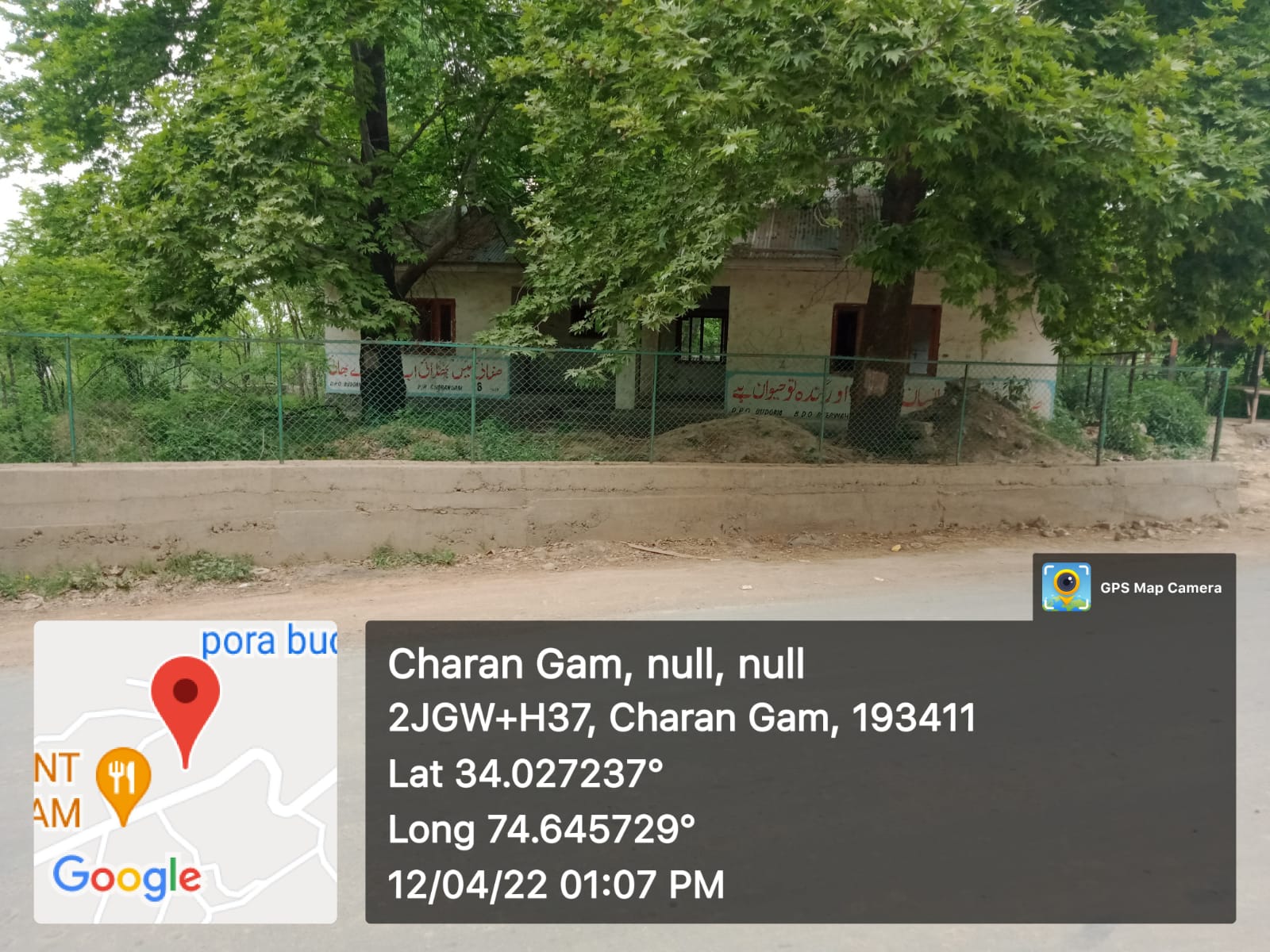
Geotagged Photo of Panchayat |
|
| 40. |
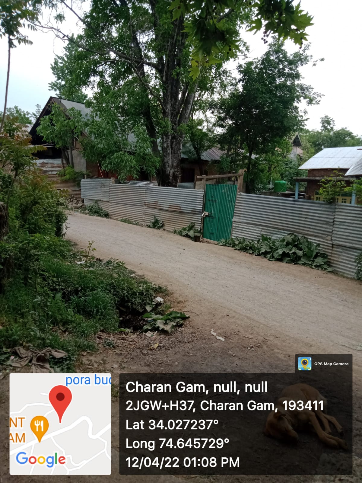
Geotagged Photo of Panchayat2 |
|
| 41. |
Uploaded Map |
|
