
Panchayat Details
General Profile
| Sno | Parameters | Information |
|---|---|---|
| 1. | Name of Panchayat(Block & District) | Baggan Lower, Baggan, Kathua |
| 2. | Number of Villages | 1 |
| 3. | Name of Villages | Baggan |
| 4. | Sarpanch Name and Photograph | Rita Devi 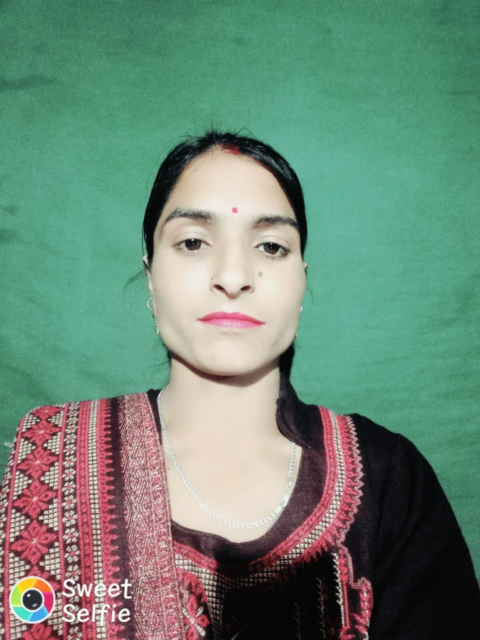
|
| 5. | Sarpanch Mobile No | 9596609769 |
| 6. | Panchs Name | Vinod Kumar, Lalita Devi, Anju Devi, Vijay Kumar, Krishan Chand, Alam Din, Romesh Chand, Bano Akhter, Joginder Kumar, |
| 7. | List of govt. officials | Sat Paul, Sandeep kumar, Sanjeev Kumar, |
| 8. | Latitude/ Longitude | 35.647267, 75.657997 |
| 9. | Area | 1020sq m |
| 10. | Male (Population) | 1040 |
| 11. | Female (Population) | 1400 |
| 12. | Literacy rate | 60 |
| 13. | Map | |
| 14. | Topography | Hilly |
| 15. | Major Water source of Irrigation | Rain water |
| 16. | Water related govt. Schemes | Bowlis and water pipes |
| 17. | Crops | Wheat,Maize,Mustard |
| 18. | Schools | High school Middle school Primary schools |
| 19. | Angandwadi centers | in every ward |
| 20. | Status of Electrification | Fully Electrified |
| 21. | Status of piped water | In some wards |
| 22. | Name of Police station | Lohai Malhar |
| 23. | Health Institutions | Sub Centre |
| 24. | Animal Husbandry | Billawar |
| 25. | Livestock�s | y |
| 26. | No. of Self Help Groups | nil |
| 27. | Altitude above Sea Level | 500m |
| 28. | Veterinary | One veterinary Hospital |
| 29. | Specialty Crops etc. Natural Crops | Pear, |
| 30. | Roads Connectivity | Yes |
| 31. | Prominent Tourist/ Religion places in the Panchyat | Huwad bridge |
| 32. | Distance from Nearest Headquater | 120km |
| 33. | PMAY Houses Approved | |
| 34. | PMAY Houses Completed | |
| 35. | No of House Holds | |
| 36. | No of House holds with toilets | |
| 37. | Does the Panchayat has its own Panchayat ghar | |
| 38. | Rented/Owned | |
| 39. | Geotagged Photo of Panchayat | |
| 40. | Geotagged Photo of Panchayat2 | |
| 41. | Uploaded Map |