| Sno |
Parameters |
Information |
| 1. |
Name of Panchayat(Block & District) |
Lethpora-B, Awantipora, PULWAMA
|
| 2. |
Number of Villages |
01
|
| 3. |
Name of Villages |
Lethpora
|
| 4. |
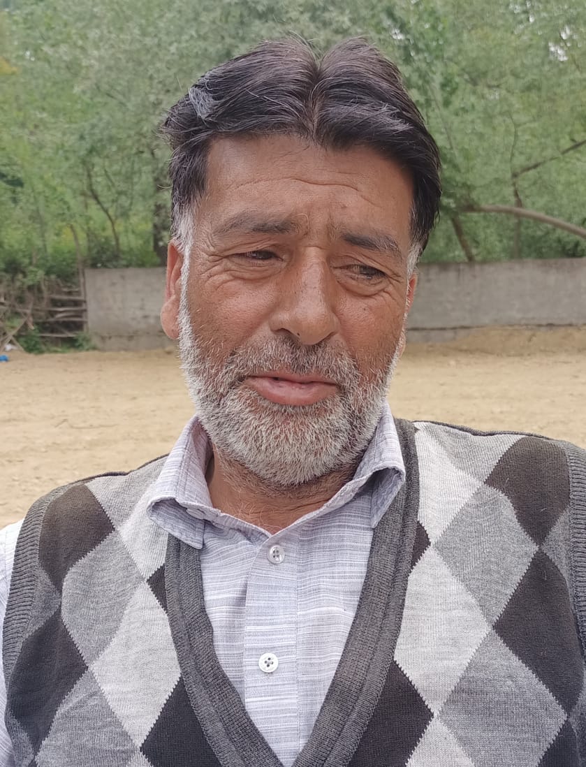
Sarpanch Name and Photograph |
Ab khaliq Bhat
|
| 5. |
Sarpanch Mobile No |
7006508399
|
| 6. |
Panchs Name |
Shoaib Javid,
Ab Rahim Reshi,
Altaf Ahmed Magray,
Javaid Ahmed Reshi,
Nisar Ahmed Reshi,
Ali Mohd Mir,
|
| 7. |
List of govt. officials |
Gulzar Ahmed Rather,
Ab Hameed Shah,
Amit Verma,
|
| 8. |
Latitude/ Longitude |
33.58 , 74.58
|
| 9. |
Area |
301 Ha
|
| 10. |
Male (Population) |
2070
|
| 11. |
Female (Population) |
1635
|
| 12. |
Literacy rate |
60 %
|
| 13. |
Map |
|
| 14. |
Topography |
Hilly
|
| 15. |
Major Water source of Irrigation |
Canal
|
| 16. |
Water related govt. Schemes |
Jal shakti Abhiyan
|
| 17. |
Crops |
Saffron
|
| 18. |
Schools |
Government
|
| 19. |
Angandwadi centers |
7
|
| 20. |
Status of Electrification |
100
|
| 21. |
Status of piped water |
50
|
| 22. |
Name of Police station |
Awantipora
|
| 23. |
Health Institutions |
Government
|
| 24. |
Animal Husbandry |
1
|
| 25. |
Livestock�s |
Cow,Sheep, Goat ,Chicken
|
| 26. |
No. of Self Help Groups |
0
|
| 27. |
Altitude above Sea Level |
1620 mtr
|
| 28. |
Veterinary |
1
|
| 29. |
Specialty Crops etc. Natural Crops
|
Saffron
|
| 30. |
Roads Connectivity |
Semi pacca
|
| 31. |
Prominent Tourist/ Religion places in the Panchyat |
No
|
| 32. |
Distance from Nearest Headquater |
13 km
|
| 33. |
PMAY Houses Approved |
2
|
| 34. |
PMAY Houses Completed |
1
|
| 35. |
No of House Holds |
341
|
| 36. |
No of House holds with toilets |
341
|
| 37. |
Does the Panchayat has its own Panchayat ghar |
No
|
| 38. |
Rented/Owned |
Rented
|
| 39. |
Geotagged Photo of Panchayat |

|
| 40. |
Geotagged Photo of Panchayat2 |
|
| 41. |
Uploaded Map |
|
