| Sno |
Parameters |
Information |
| 1. |
Name of Panchayat(Block & District) |
Balhama Arin, Arin, Bandipora
|
| 2. |
Number of Villages |
01
|
| 3. |
Name of Villages |
BALHAMA
|
| 4. |
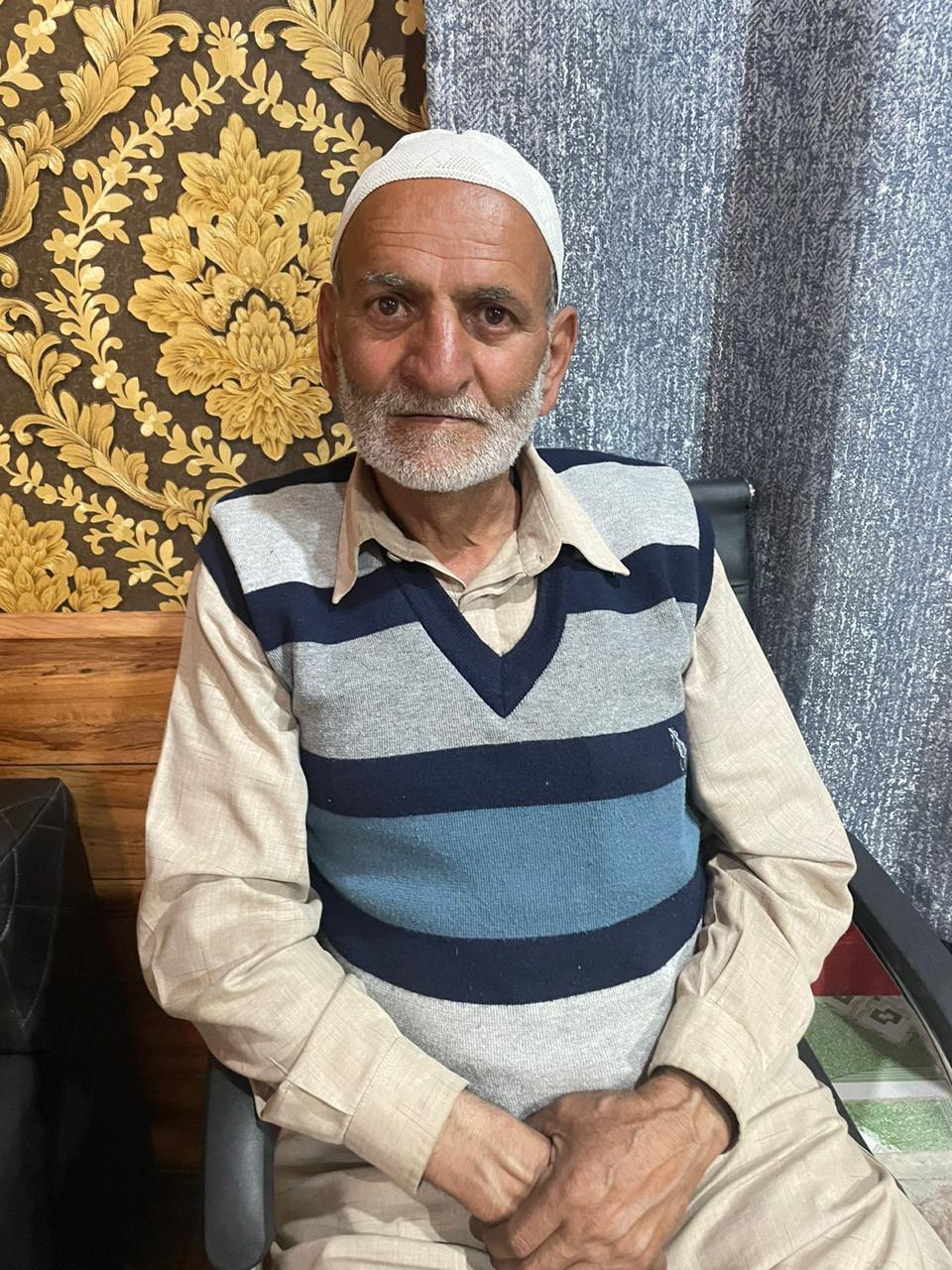
Sarpanch Name and Photograph |
Gh Hassan Mir
|
| 5. |
Sarpanch Mobile No |
8494040653
|
| 6. |
Panchs Name |
Javid Ahmad Hajam,
Mohd Dilawar Kumar,
Shamshada Bano,
Kamdar Malik,
Fayaz Ahmad Mir,
Ghulshana Begum,
|
| 7. |
List of govt. officials |
Gh Hassan Mir,
Mehrajuddin,
Toota,
Tasleema,
Shamsudin Mir,
|
| 8. |
Latitude/ Longitude |
34.27, 74.25
|
| 9. |
Area |
133 Hectares
|
| 10. |
Male (Population) |
854
|
| 11. |
Female (Population) |
617
|
| 12. |
Literacy rate |
50
|
| 13. |
Map |
|
| 14. |
Topography |
HILLY
|
| 15. |
Major Water source of Irrigation |
SPRING AND PONDS
|
| 16. |
Water related govt. Schemes |
JAL JEEVAN SHAKHTI TAP WATER
|
| 17. |
Crops |
RICE, MAIZE, APPLE AND WALNUT
|
| 18. |
Schools |
MS BALHAMA
MS KUMAR MOHALLA, BALHAMA
|
| 19. |
Angandwadi centers |
3
|
| 20. |
Status of Electrification |
SATISFACTORY
|
| 21. |
Status of piped water |
90%
|
| 22. |
Name of Police station |
BALHAMA
|
| 23. |
Health Institutions |
NIL
|
| 24. |
Animal Husbandry |
1
|
| 25. |
Livestock�s |
SHEEP COW GOATS
|
| 26. |
No. of Self Help Groups |
3
|
| 27. |
Altitude above Sea Level |
1581 Mtrs
|
| 28. |
Veterinary |
1
|
| 29. |
Specialty Crops etc. Natural Crops
|
WALNUT
|
| 30. |
Roads Connectivity |
GOOD
|
| 31. |
Prominent Tourist/ Religion places in the Panchyat |
NIL
|
| 32. |
Distance from Nearest Headquater |
06
|
| 33. |
PMAY Houses Approved |
04
|
| 34. |
PMAY Houses Completed |
Under Construction
|
| 35. |
No of House Holds |
274
|
| 36. |
No of House holds with toilets |
274
|
| 37. |
Does the Panchayat has its own Panchayat ghar |
Yes
|
| 38. |
Rented/Owned |
Owned
|
| 39. |
Geotagged Photo of Panchayat |

|
| 40. |
Geotagged Photo of Panchayat2 |
|
| 41. |
Uploaded Map |
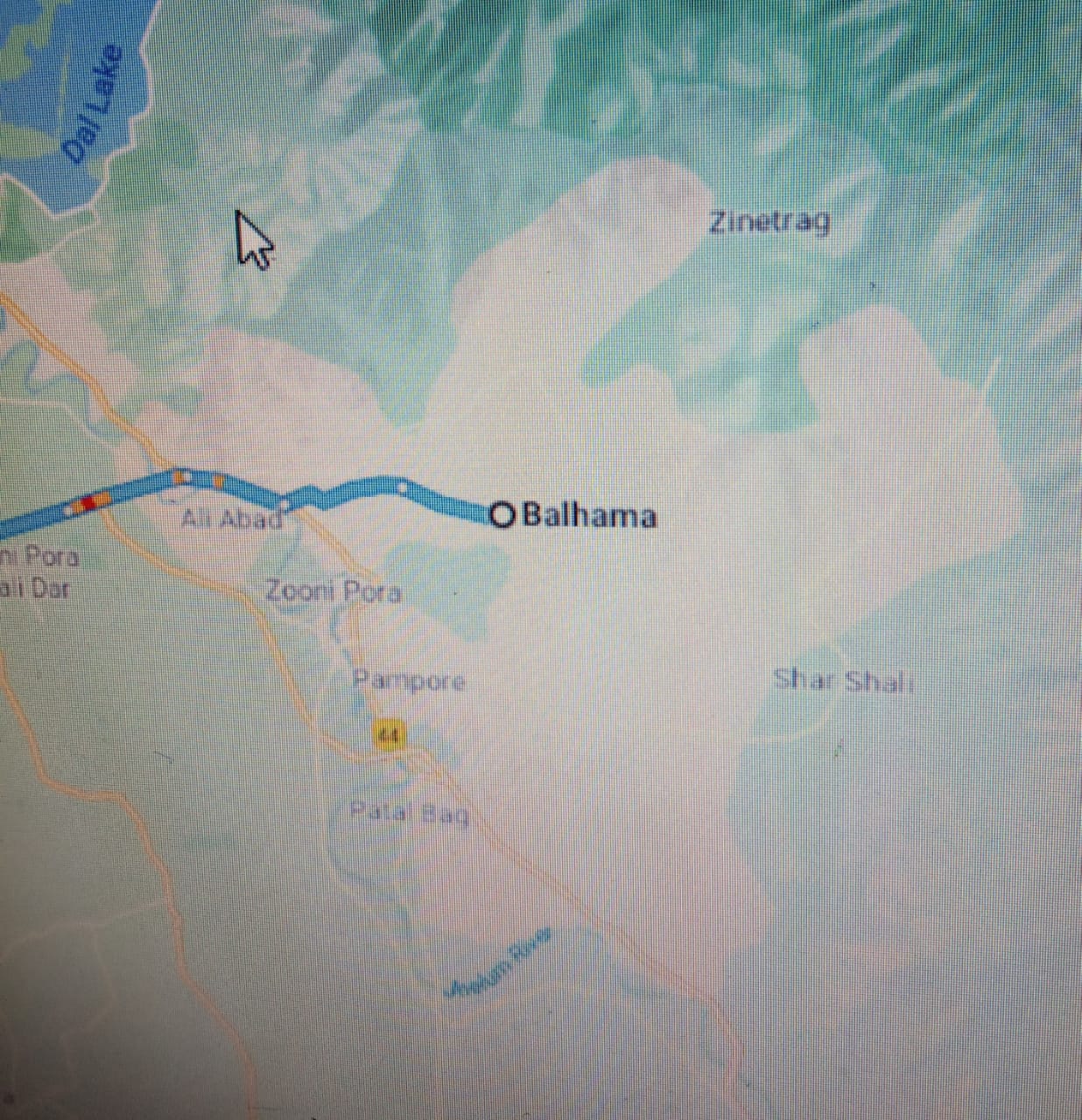
|
