
Panchayat Details
General Profile
| Sno | Parameters | Information |
|---|---|---|
| 1. | Name of Panchayat(Block & District) | Aglar A, Achgooze, PULWAMA |
| 2. | Number of Villages | 3 |
| 3. | Name of Villages | Aglar Kandi, Kadipora nad K-Drabgam |
| 4. | Sarpanch Name and Photograph | Vaccant |
| 5. | Sarpanch Mobile No | 0 |
| 6. | Panchs Name | Vacant, |
| 7. | List of govt. officials | Jahangir hussain yattoo, Bilal Ahmad Dar, Mysum Shabir, Mohd Ashraf, Lovely Jan, Tahira Banoo, , Mohd Ashraf yatoo, Bilal Ahmad Band, |
| 8. | Latitude/ Longitude | 33.816945, 74.793555 |
| 9. | Area | 2.90 Sq Mtrs |
| 10. | Male (Population) | 1290 |
| 11. | Female (Population) | 1238 |
| 12. | Literacy rate | 60 |
| 13. | Map | |
| 14. | Topography | Hilly area |
| 15. | Major Water source of Irrigation | Canals |
| 16. | Water related govt. Schemes | Nill |
| 17. | Crops | Mazize Pulses |
| 18. | Schools | Govt/ Prt |
| 19. | Angandwadi centers | 08 |
| 20. | Status of Electrification | Fully Covered |
| 21. | Status of piped water | Partly Covered |
| 22. | Name of Police station | Police Station Rajpora |
| 23. | Health Institutions | Nill |
| 24. | Animal Husbandry | Nill |
| 25. | Livestock�s | Sheeps Cows |
| 26. | No. of Self Help Groups | 0 |
| 27. | Altitude above Sea Level | 2200-2700 mtrs |
| 28. | Veterinary | nill |
| 29. | Specialty Crops etc. Natural Crops | Maize |
| 30. | Roads Connectivity | Average |
| 31. | Prominent Tourist/ Religion places in the Panchyat | Nill |
| 32. | Distance from Nearest Headquater | 15 KMS |
| 33. | PMAY Houses Approved | 04 |
| 34. | PMAY Houses Completed | 01 |
| 35. | No of House Holds | 440 |
| 36. | No of House holds with toilets | 410 |
| 37. | Does the Panchayat has its own Panchayat ghar | Yes |
| 38. | Rented/Owned | Owned |
| 39. | Geotagged Photo of Panchayat | 
|
| 40. | Geotagged Photo of Panchayat2 | |
| 41. | Uploaded Map | 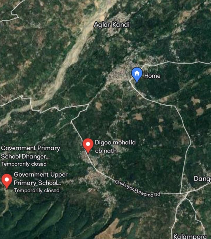
|