| Sno |
Parameters |
Information |
| 1. |
Name of Panchayat(Block & District) |
Sundoo, Achabal, ANANTNAG
|
| 2. |
Number of Villages |
1
|
| 3. |
Name of Villages |
Sundoo
|
| 4. |
Sarpanch Name and Photograph |
Bilal Ahmad itoo

|
| 5. |
Sarpanch Mobile No |
9622992364
|
| 6. |
Panchs Name |
Mohd Rajab Bhat,
Qadseena Ramzan,
GH Ah ganie,
|
| 7. |
List of govt. officials |
Masrat Ara,
Najma Hudda,
Muazzam Hyder ,
|
| 8. |
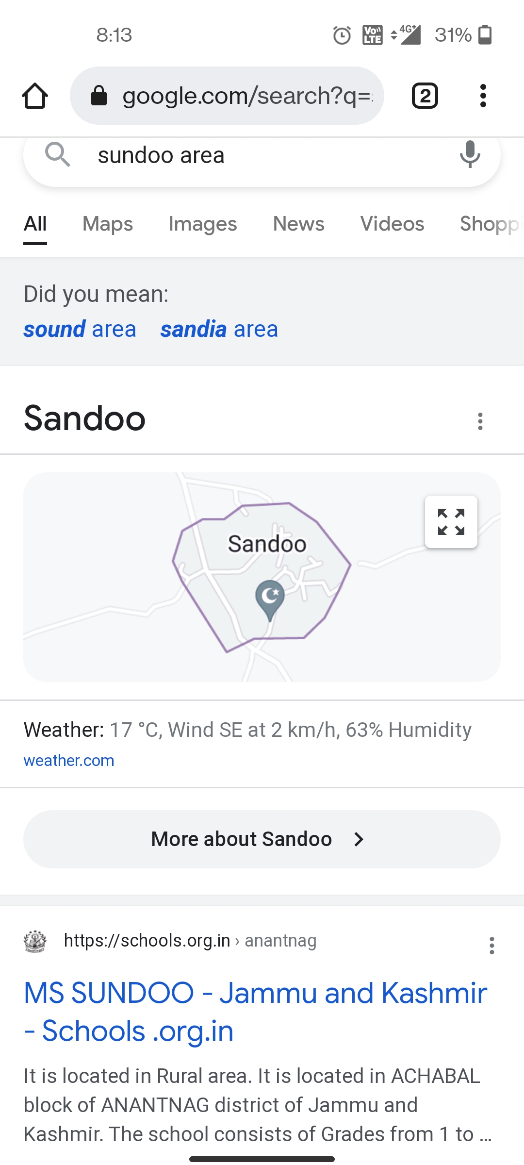
Latitude/ Longitude |
33.65891, 75.25897
|
| 9. |
Area |
154.2 ha
|
| 10. |
Male (Population) |
1198
|
| 11. |
Female (Population) |
984
|
| 12. |
Literacy rate |
83%
|
| 13. |
Map |
|
| 14. |
Topography |
Plain
|
| 15. |
Major Water source of Irrigation |
Taped water through spring of achabal
|
| 16. |
Water related govt. Schemes |
Na
|
| 17. |
Crops |
Rice, apple,walnuts maize
|
| 18. |
Schools |
Govt girls school
|
| 19. |
Angandwadi centers |
4
|
| 20. |
Status of Electrification |
100%
|
| 21. |
Status of piped water |
70%
|
| 22. |
Name of Police station |
Achabal
|
| 23. |
Health Institutions |
Nil
|
| 24. |
Animal Husbandry |
Nil
|
| 25. |
Livestock�s |
Nil
|
| 26. |
No. of Self Help Groups |
Zero
|
| 27. |
Altitude above Sea Level |
1639
|
| 28. |
Veterinary |
Nil
|
| 29. |
Specialty Crops etc. Natural Crops
|
Rice, maize apple, walnuts
|
| 30. |
Roads Connectivity |
Connected through a pacca road
|
| 31. |
Prominent Tourist/ Religion places in the Panchyat |
Jama masjid
|
| 32. |
Distance from Nearest Headquater |
6km
|
| 33. |
PMAY Houses Approved |
4
|
| 34. |
PMAY Houses Completed |
Zero
|
| 35. |
No of House Holds |
450
|
| 36. |
No of House holds with toilets |
312
|
| 37. |
Does the Panchayat has its own Panchayat ghar |
No
|
| 38. |
Rented/Owned |
Rented
|
| 39. |
Geotagged Photo of Panchayat |

|
| 40. |
Geotagged Photo of Panchayat2 |
|
| 41. |
Uploaded Map |
|
